Mild and wet overnight becoming colder with new snow.
17th March 2020
Mild and wet conditions overnight triggered several wet snow avalanches and cornice collapses. Â A return to colder conditions with new snow and strong West-South-West winds will form unstable windslab in sheltered areas such as gullies and Northerly to South-Easterly aspects. The colder conditions will re-freeze the older wet snowpack rendering it firm and icy with serious run out potential in the event of an uncontrolled slip. Please consider rescue and health services when making plans in these difficult times. Stay safe.
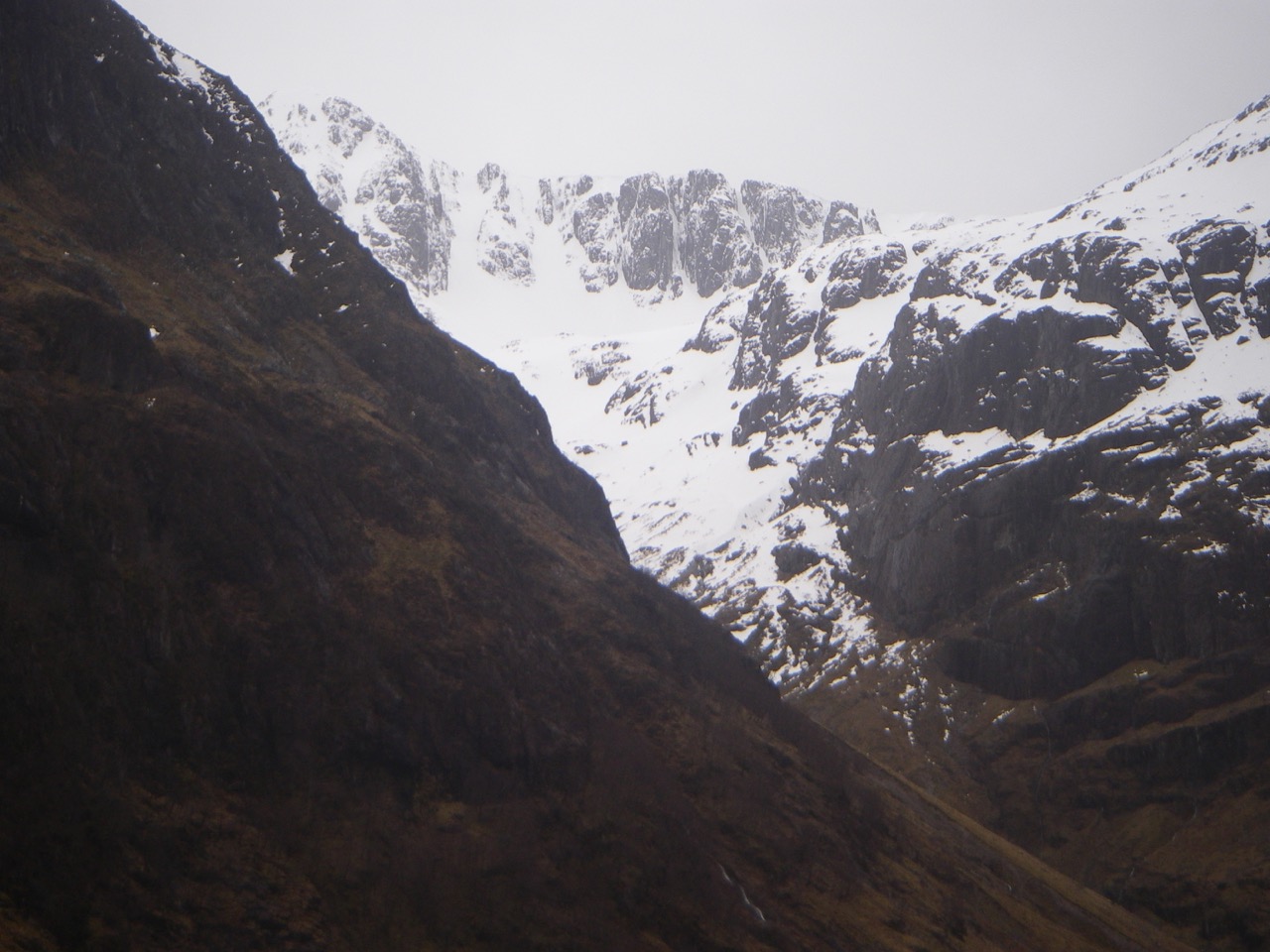
Stob Coire nan Lochan

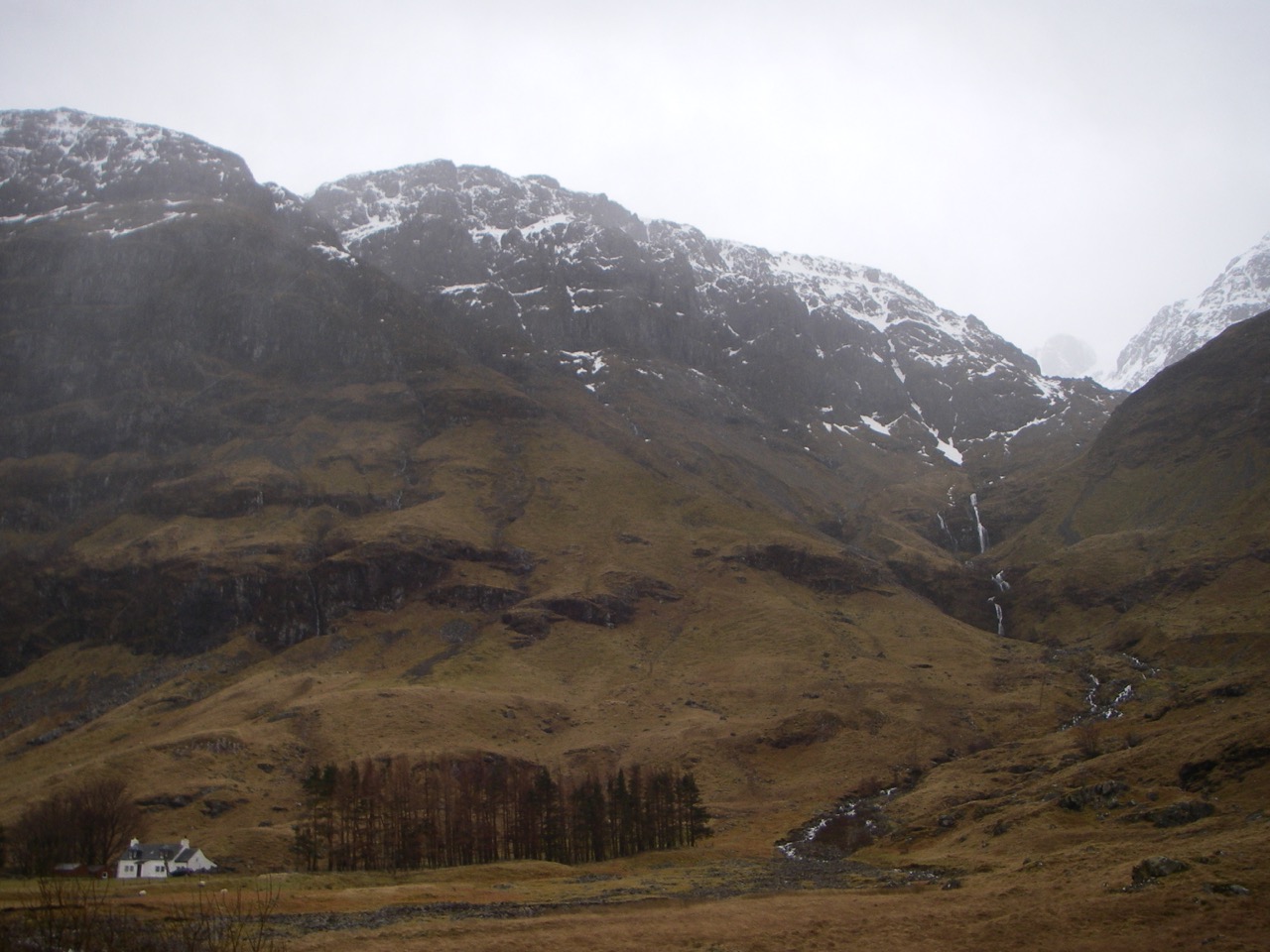
Avalanche debris from Crowberry Gully on Buachaille Etive Mor

Avalanche debris from Crowberry Gully on Buachaille Etive Mor
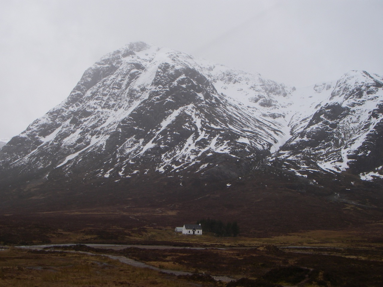
Buachaille Etive Mor with Coire na Tulaich on the right
West Face Aonach Dubh.
Comments on this post
Got something to say? Leave a comment


