Unstable snowpack….. Avalanches likely
2nd March 2020
Overnight, and through this morning snow showers have affected the area, this, and very strong southerly winds have caused a lot of heavy drifting forming large areas of unstable windslab in sheltered locations where avalanches are likely.
New accumulations of unstable windslab have continued to form in wind sheltered locations, field tests gave significant failures. Greatest instabilities exist on steep North-West through North to Easterly aspects above 750 metres. Areas particularly affected are coire rims, gullies, ridge flanks, and scarp slopes. Other aspects have been affected due to loading with pockets of localised instabilities. Cornices are fragile. The avalanche hazard is Considerable.
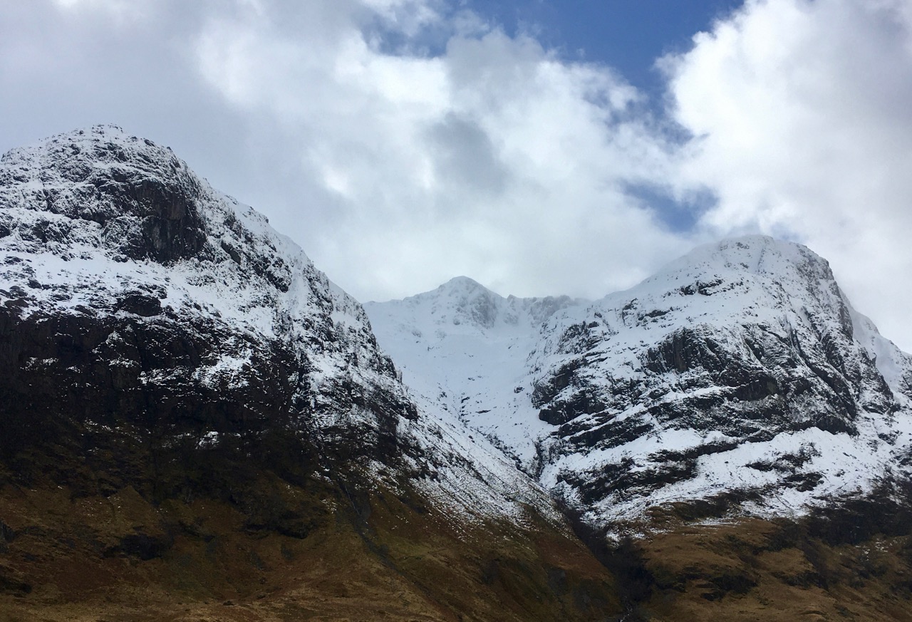
West face of Aonach Dubh with Stob Coire nan Lochan above and Bidean on the right taken early afternoon.

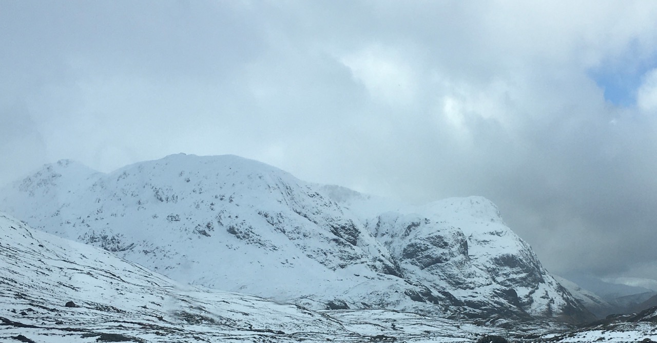
Stob Dearg well loaded with deep accumulations of snow.

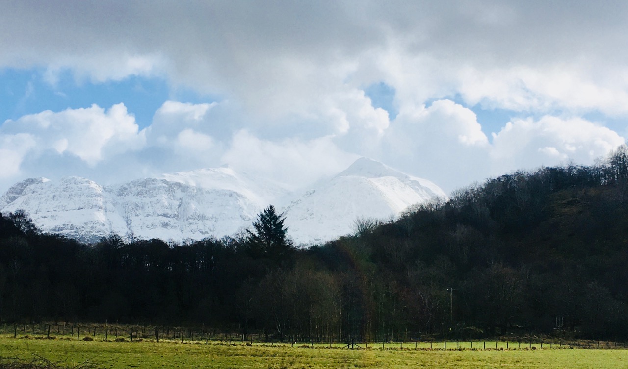
Stob Mhic Mhartuin above the woods at Altnafeadh, the A82 road is just visible at the lower part of the photo.
The snowy peaks of Glen Coe.
Stob Coire nan Lochan.

Folks venturing out this morning.

Visibility was very poor this morning with a lot of drifting snow. Two building here have large drifts of snow surrounding them.
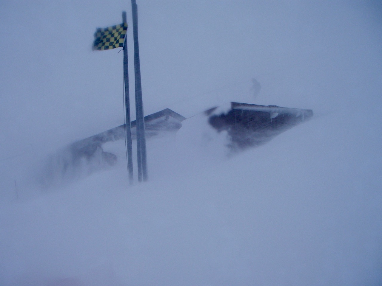
The ski patroller’s base at Glen Coe ski centre at a height of 845 metres, they were just away out to deal with a broken leg!
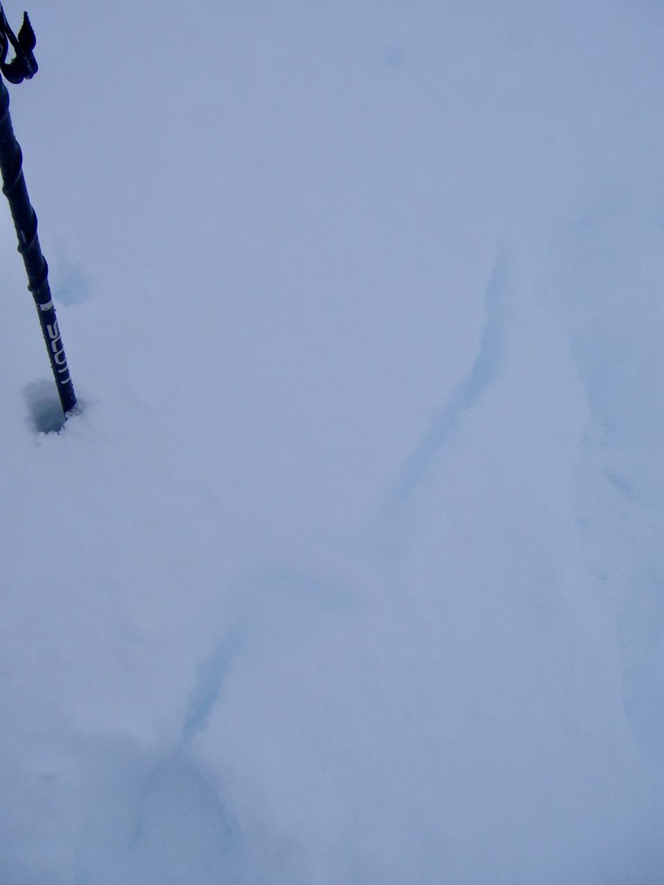
Signs of weakly bonded windslab on North-East aspect.
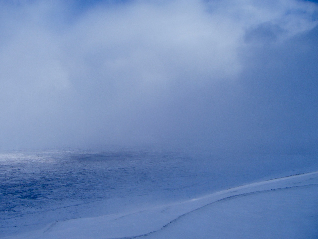
Looking East-North-Eastwards across the Rannoch Moor.
Comments on this post
Got something to say? Leave a comment


