Stormy conditions continue to affect the area.
4th February 2021
Covid -19
The Scottish Avalanche Information Service issues information to support permitted activity under current Scottish Government guidance.
Please be aware of current mandatory travel restrictions in Local Authority areas within Scotland and respect local communities by referring to Scottish Government guidance and safe route choices for exercise.
This blog is intended to provide hazard and mountain condition information to help plan safer mountain trips.
The cold easterly airflow persists, this has brought further snow showers to the area accompanied by very strong Easterly winds. Summit temperature at midday was minus 5 degrees celsius with gusting Easterly winds at 70mph. Drifting and new snow on very strong Easterly winds has continued to form unstable windslab in many steep sheltered locations. Greatest accumulations are on South-West through West to North aspects above 700 metres. Steep sheltered gullies, coire headwalls and scarp slopes are mostly affected. Other sheltered areas have localised instabilities. The avalanche hazard is Considerable. Avalanches are likely tomorrow.
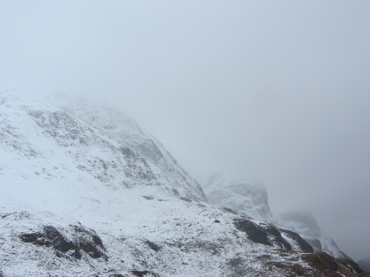
Beinn Fhada with Gearr Aonach and Aonach Dubh beyond, the 3 sister’s of Glen Coe. Note the drifting snow driving its way across the cliffs.

Centre of the photo the South-Easterly ridge of Am Bodach, one of the starts to the Aonach Eagach ridge. On the right the Southerly flank of Sron Garbh above Allt na Reigh
Comments on this post
Got something to say? Leave a comment


