Strong Easterlies produced wintry conditions….
2nd February 2021
Covid -19
The Scottish Avalanche Information Service issues information to support permitted activity under current Scottish Government guidance.
Please be aware of current mandatory travel restrictions in Local Authority areas within Scotland and respect local communities by referring to Scottish Government guidance and safe route choices for exercise.
This blog is intended to provide hazard and mountain condition information to help plan safer mountain trips.
Easterly winds were maintaining a cold airstream to the area, the winds were strong often gale force at times particularly over the higher summits. Light snow flurries fell mostly above 300 metres the freezing level was around 450 metres but it felt much colder in the strong winds. Unstable windslab is present in areas sheltered from the strong Easterly winds. Greatest accumulations are on South-West through West to North aspects aspects above 800 metres. Steep sheltered gullies, coire headwalls and scarp slopes are mostly affected. Other sheltered locations have more localised instabilities. Foot paths very icy. The avalanche hazard is Considerable.
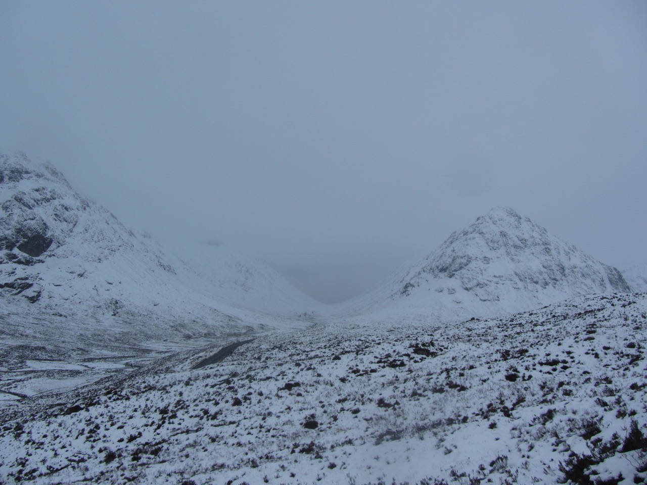
Looking towards Lairig Gartain with Buachhaille Etive Mor on the left and Buachaille Etive Beag on the right.

North-West face on Aonach Dubh on the left, Stob Coire nam Beith the snow blasted face then An-t-Sron on the right.

Aonach Eagach ridge.
Forecast: It will remain cold, freezing at most levels overnight, then becoming around 200 metres. Gale force Easterly winds with isolated, light snow showers. High confidence for very strong winds and cold temperatures but some uncertainty with new snow amounts.
Comments on this post
Got something to say? Leave a comment


