Firm, frozen snowpack…
6th March 2021
Covid -19
The Scottish Avalanche Information Service issues information to support permitted activity under current Scottish Government guidance.
Please be aware of current mandatory travel restrictions in Local Authority areas within Scotland and respect local communities by referring to Scottish Government guidance and safe route choices for exercise.
This blog is intended to provide hazard and mountain condition information to help plan safer mountain trips.
There was a slight overnight frost at all levels then the freezing level rose to around 600 metres. It was predominately dry although precipitation wasn’t far away. Winds were light to moderate from the West-South-West. The snowpack remains consolidated, well bonded and stable on all aspects and at all elevations. Greatest amounts of snow are no North-West through North to East aspects above 800 metres. The snowpack surface is very firm and icy to lower elevations. The avalanche hazard is Low.
Take SAIS user survey, copy this link. https://stir.az1.qualtrics.com/jfe/form/SV_5gRzPMSjcdiH7lr
The snow on the left of picture is on a Northerly aspect on Meall a’ Bhuiridh on the right the Southerly aspect at 1100 metres.

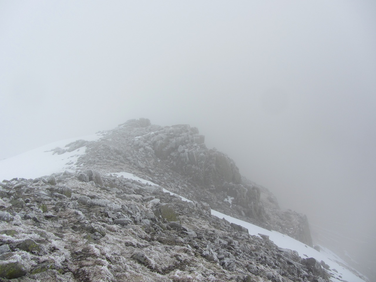
Looking from Meall a’ Bhuiridh across to the corniced ridge of Sron nam Forsair on Clach Leathad around 1050 metres.
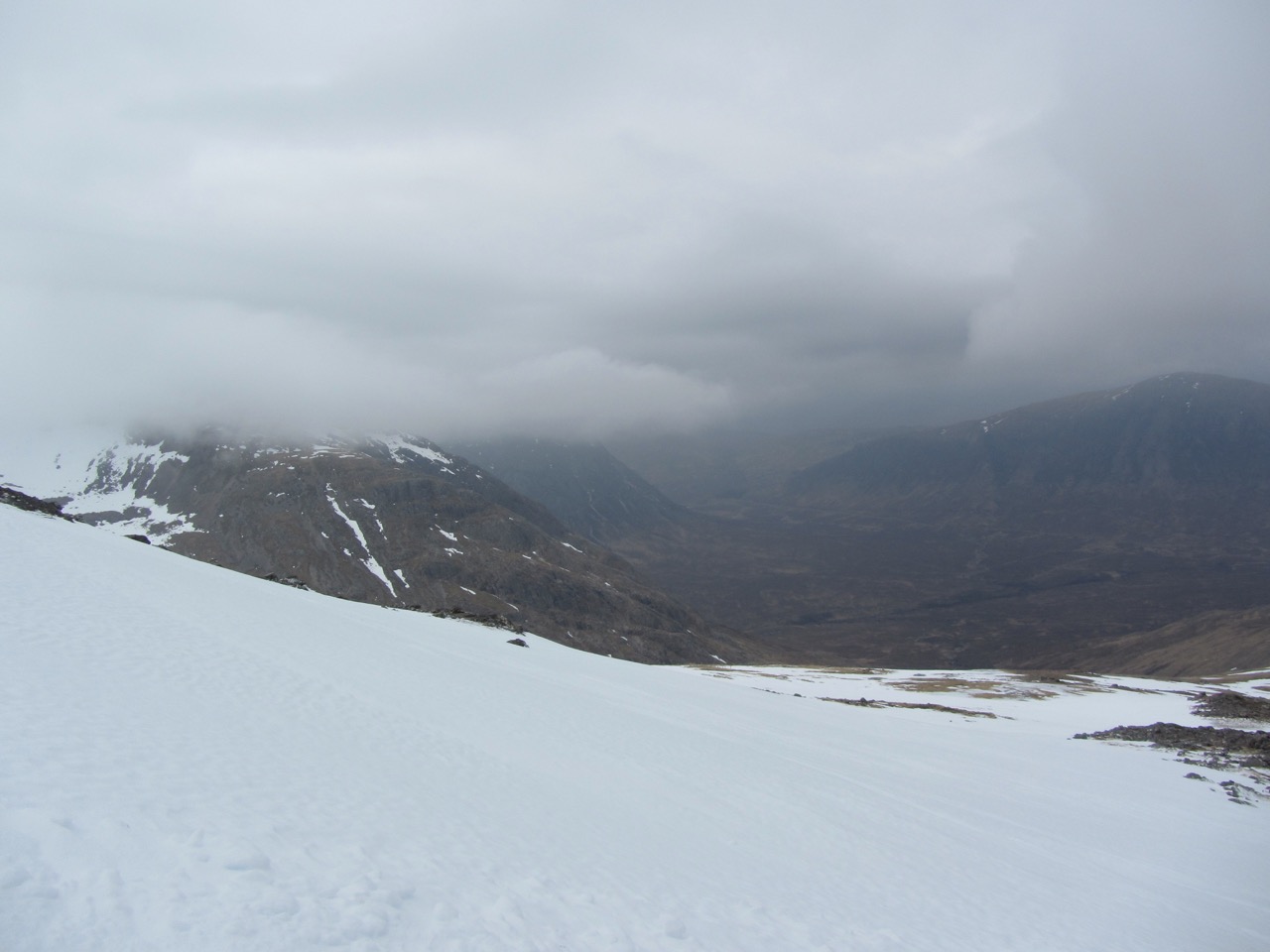
Cloudy Glen Coe this morning.
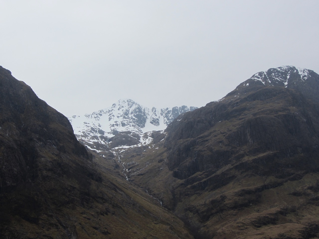
Stob Coire nan Lochan.
Comments on this post
Got something to say? Leave a comment


