Inversions…..
2nd March 2021
Covid -19
The Scottish Avalanche Information Service issues information to support permitted activity under current Scottish Government guidance.
Please be aware of current mandatory travel restrictions in Local Authority areas within Scotland and respect local communities by referring to Scottish Government guidance and safe route choices for exercise.
This blog is intended to provide hazard and mountain condition information to help plan safer mountain trips.
Another lovely spring like day. We had an overnight temperature inversion where summit temperatures are higher than the temperature in glens. Also in the morning we had cloud inversions with clouds hanging around at mid mountain height with summits cloud free. So, quite a keen frost first thing this morning followed by a dry, sunny day and winds were light East-South-Easterly but almost a windless day. The snowpack is generally well consolidated and firm in all locations with crampons prudent. On Northerly aspects and in shaded places the snowpack has an icy surface crust. In Southerly locations sun will start to affect the surface layers which may lead to localised surface instabilities and cornices rendered unstable. The avalanche hazard is Low.

Meall a’ Bhuiridh and Sron na Creise in the clouds first thing this morning, with Beinn Mhic Chasgaig just clear of clouds.
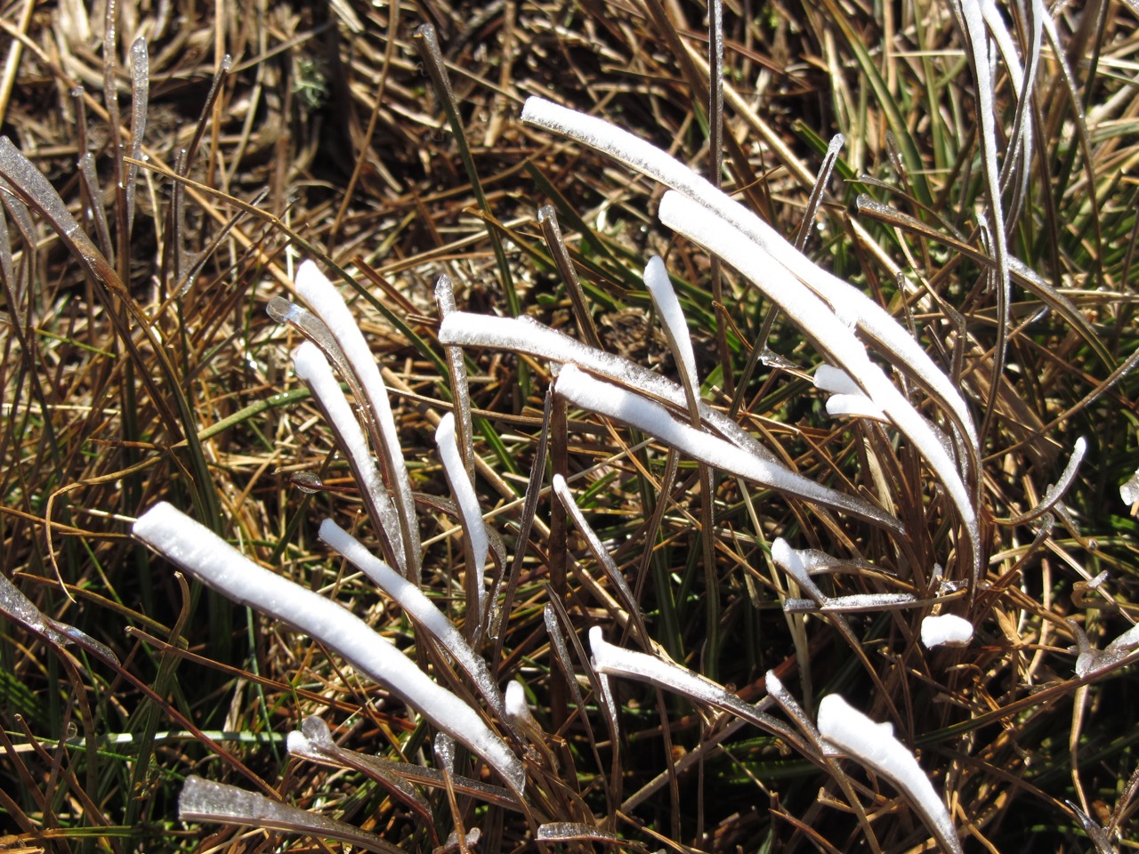
Frost and rime at lower levels.
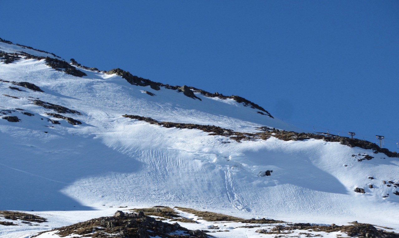
A small corniced lip collapse, which happened yesterday after sun warming.
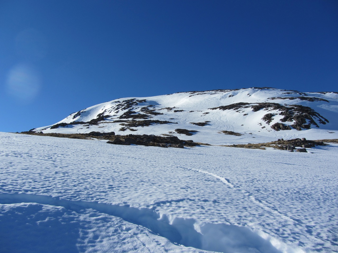
North-Easterly aspect of Meall a’ Bhuiridh.
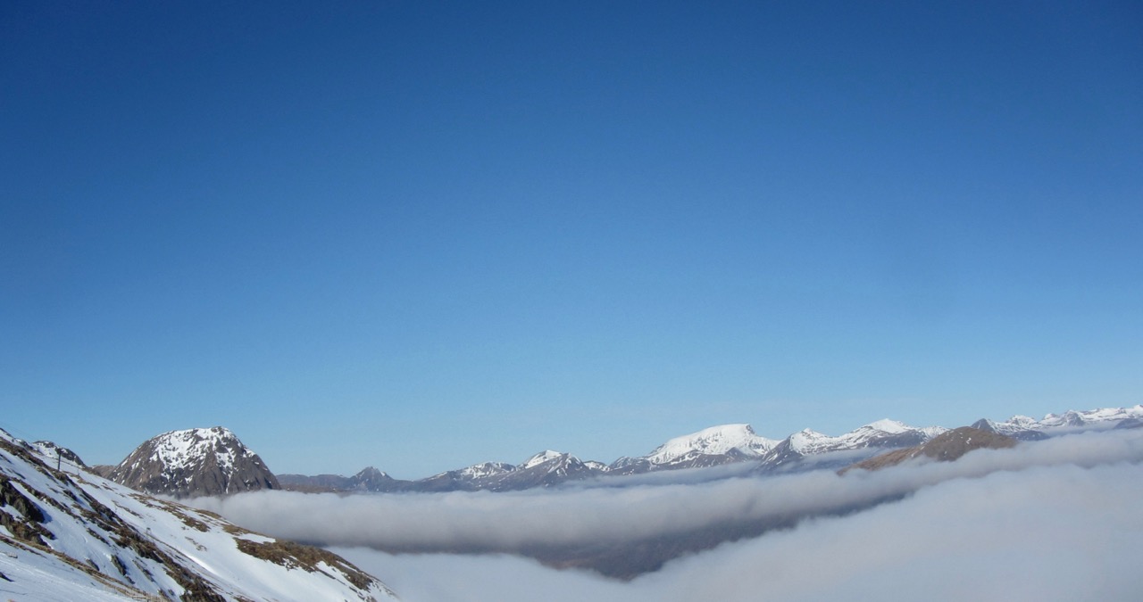
Stob Dearg on the left with the Southerly aspect of Ben Nevis in the distance.
Comments on this post
Got something to say? Leave a comment


