Return to proper winter conditions
12th March 2021
Covid -19
The Scottish Avalanche Information Service issues information to support permitted activity under current Scottish Government guidance.
Please be aware of current mandatory travel restrictions in Local Authority areas within Scotland and respect local communities by referring to Scottish Government guidance and safe route choices for exercise. For further guidance please refer to the following information for hillwalkers and climbers and snowsports on ski and board.
This blog is intended to provide hazard and mountain condition information to help plan safer mountain trips.
A few sunny spells today, between some prolonged wintery showers falling as snow above 300m. Even though the hills have looked pretty bare of late, recent snowfall, combined with strong winds have created some hazardous conditions higher up. For full more details, check out the full avalanche forecast.

An appropriate road sign here in front of the 3 sisters. Higher up, on wind scoured aspects, the old snow pack is very hard and icy with consequential run outs for the unwary!

Photo taken around 400m just above the Glencoe ski centre carpark. We were surprised to find around 10cm of fresh snow had arrived overnight. Later in the day, the snow was thawing at this level. Around the 500m contour and above, snow was drifting and building in wind sheltered locations.

Multiple fractures in the windslab at todays test site which was at around 900m on a North-East aspect.
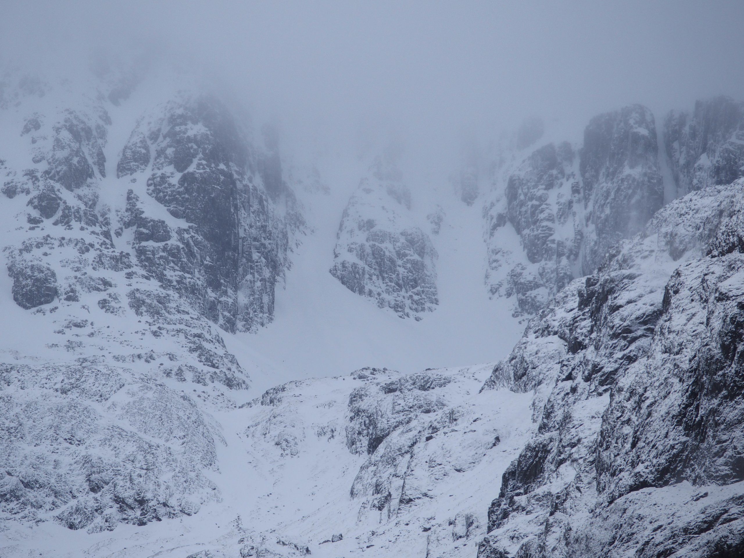
Looking up into Broad Gully, Stob Coire Nan Lochain
Comments on this post
Got something to say? Leave a comment


