Another dry day with some sunshine …..
10th April 2021
Covid -19
The Scottish Avalanche Information Service issues information to support permitted activity under current Scottish Government guidance.
Please be aware of current mandatory travel restrictions in Local Authority areas within Scotland and respect local communities by referring to Scottish Government guidance and safe route choices for exercise.
This blog is intended to provide hazard and mountain condition information to help plan safer mountain trips.
This morning was again dry and clear with good visibility, cloudier in the afternoon. The freezing level started out around 250 metres but rose slightly through day to end up at around 750 metres. Winds were fresh from a North-Westerly direction producing a cold wind chill.
Small areas of moderately bonded windslab are present on North through East to South-East aspects mainly above 850 metres. These accumulations are generally localised and avoidable. Steep wind sheltered terrain such as around the tops of gullies, coire rims and convexities are mainly affected. Elsewhere the majority of the snowpack is firm well bonded and stable. The avalanche hazard is Moderate.
Sron an Lairig the snowy ridge on the left of centre with the summit of Stob Coire Sgreamhach on the right.
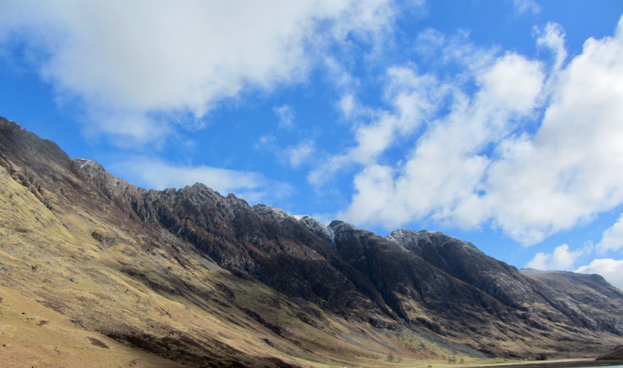
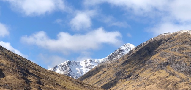
The southerly aspect of the Aonach Eagach ridge.

On the left Church Door buttress at the back of the coire then Stob Coire nam Beith 1107m. on the right.

North-Easterly aspect of Stob Dearg.

Meall a’ Bhuiridh on the left with Stob a Ghlais Choire and Creise on the right.

Buachaille Etive Mor
Comments on this post
Got something to say? Leave a comment


