Crisp and clear….
9th April 2021
Covid -19
The Scottish Avalanche Information Service issues information to support permitted activity under current Scottish Government guidance.
Please be aware of current mandatory travel restrictions in Local Authority areas within Scotland and respect local communities by referring to Scottish Government guidance and safe route choices for exercise.
This blog is intended to provide hazard and mountain condition information to help plan safer mountain trips.
Today was predominately dry and clear with good visibility, quite a contrast from yesterdays mild, wet and windy conditions. The freezing level started out around 350 metres but rose slightly through day mainly because of the amount of sunshine. Winds were fresh from the North-Westerly direction producing some colder, crisp wind chill. Areas of moderately bonded windslab have formed on North through East to South-East aspects mainly above 850 metres. These accumulations are generally localised and avoidable. Steep wind sheltered terrain such as around the tops of gullies, coire rims and convexities are mostly affected. Elsewhere the majority of the snowpack is firm well bonded and stable. The avalanche hazard is Moderate

Stob Coire nan Lochan after a coating of new snow which arrived yesterday.

Southerly aspect and western end of the Aonach Eagach ridge.
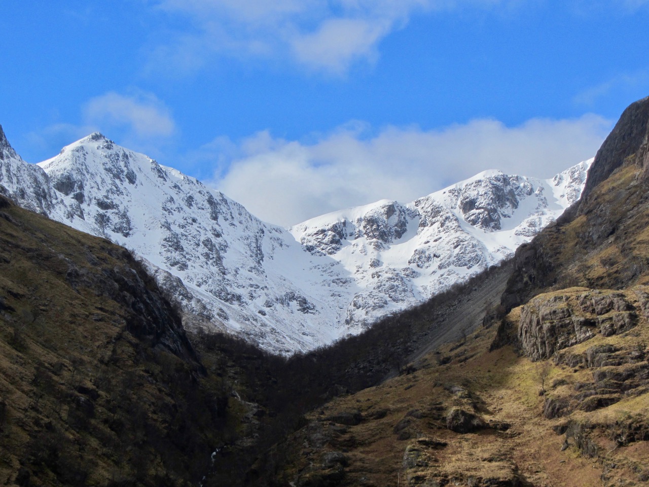
Stob Coire Sgreamhach with Lost Valley Buttresses on the right.

Stob Dearg and Coire na Tulaich from Altnafeadh.

Easterly aspect of Sron Creise.
Comments on this post
Got something to say? Leave a comment


