Spring isothermic snowpack….
17th April 2021
Covid -19
The Scottish Avalanche Information Service issues information to support permitted activity under current Scottish Government guidance.
Please be aware of current mandatory travel restrictions in Local Authority areas within Scotland and respect local communities by referring to Scottish Government guidance and safe route choices for exercise.
This blog is intended to provide hazard and mountain condition information to help plan safer mountain trips.
It was another dry, warm day, plus 2 degrees Celsius on the highest summit in Glencoe. The winds were light from a Southerly direction. The spring snowpack is generally consolidated and stable. Surface layers softened but stability remained good in most places. Some minor localised surface instabilities developed on some steeper slopes that were exposed to direct sunshine, mainly on North through East to South-East aspects above 850 metres. The avalanche hazard is Low.
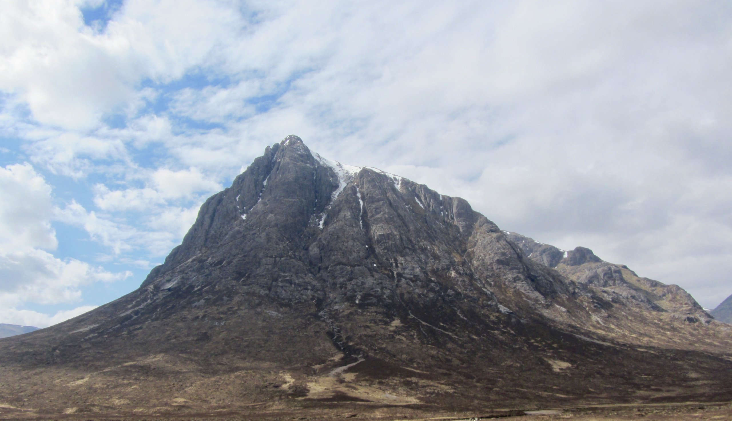
Stob Dearg of Buachaille Etive Mor.

Meall a’ Bhuiridh and Sron na Creise, plenty of snow still remains these mountains.

Northerly aspect on Meall a’ Bhuiridh with snow still lying from 700 metres upwards.

Stob Coire nam Beith with An-t-Sron on the right.
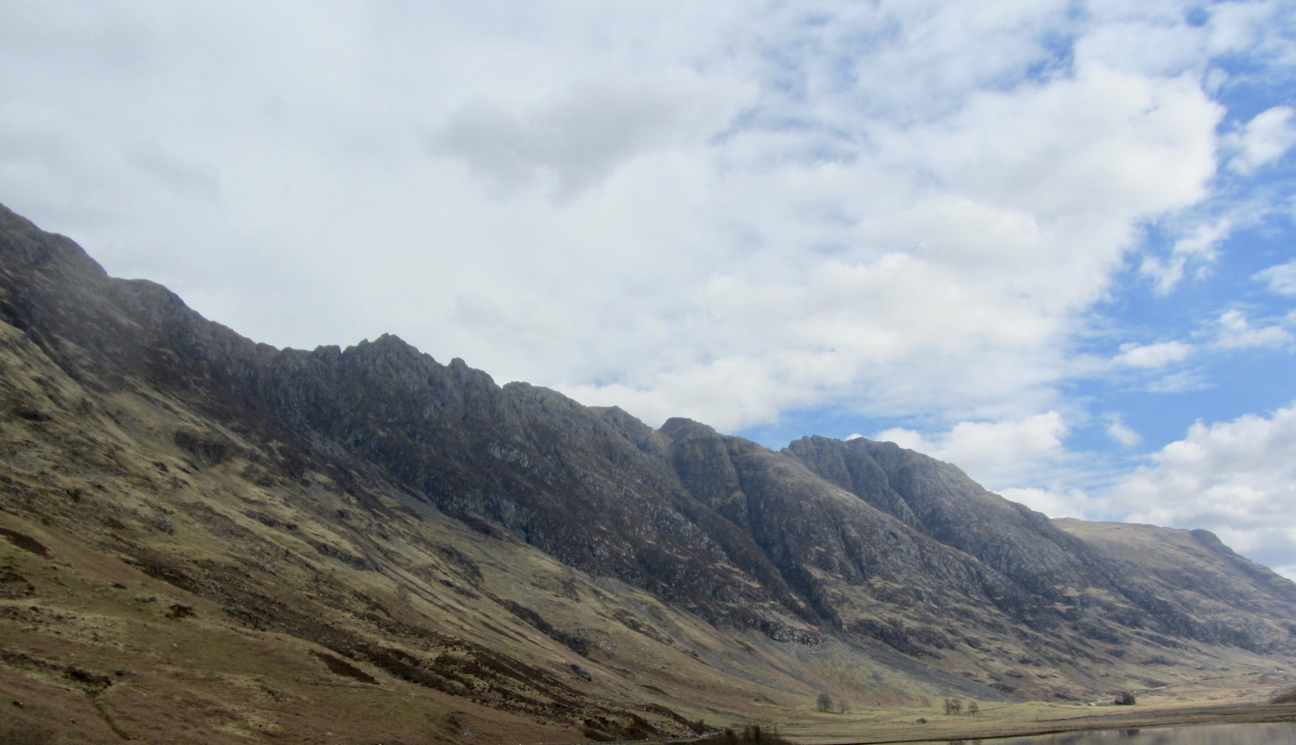
Southerly aspect of the Aonach Eagach ridge.
Overnight, dry and cool conditions will continue to affected the area. Patchy light rain will commence in the early morning for a short period this will give a dusting of new snow on the higher summits. Winds will be fresh to strong over the summits form the South-South-Easterly direction. The freezing level will rise to well above the summits by the end of the period. Overnight, the snowpack will consolidate. Any new snow amounts are not expected to be significant mostly a light dusting above 900 metres. These new deposits will start to thaw and the surface layers will soften again as the freezing level rises but stability will remain generally good. Surface instabilities may exist in the afternoon, mainly on steep North through East to South-East aspects above 850 metres. Remaining cornices will be prone to collapse. The avalanche hazard will be Low.
Last blog for the 2020/21 season, more posts starting again in December. Thanks for viewing, have a great summer.
Comments on this post
Got something to say? Leave a comment


