After the thaw
12th December 2021
Today was mostly dry and mild with the freezing level above the summits. The winds were light from a South-South-West direction. The snow cover is much reduced after yesterdays mild conditions which gave strong winds and rain the two main ingredients to quickly thaw and deplete the snow cover.
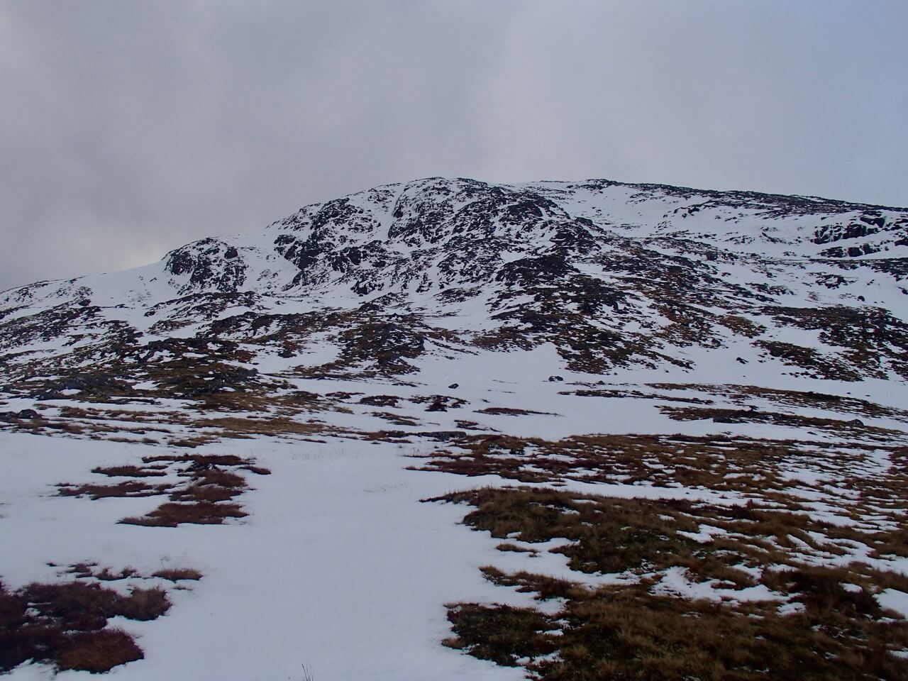
Moist snow cover on the Easterly aspect of Meall a’ Bhuiridh.
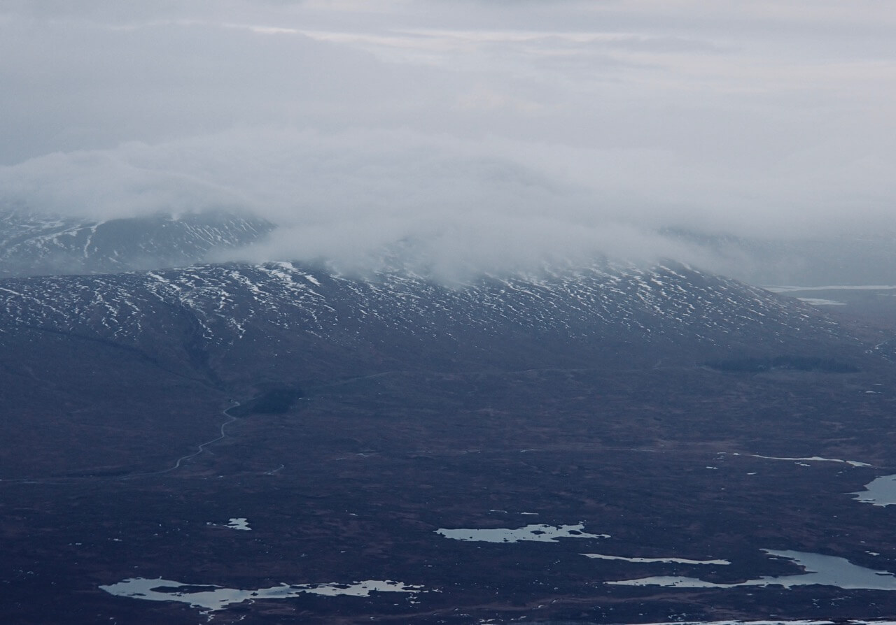
Looking across the Rannoch Moor towards Meall nan Ruadhag.
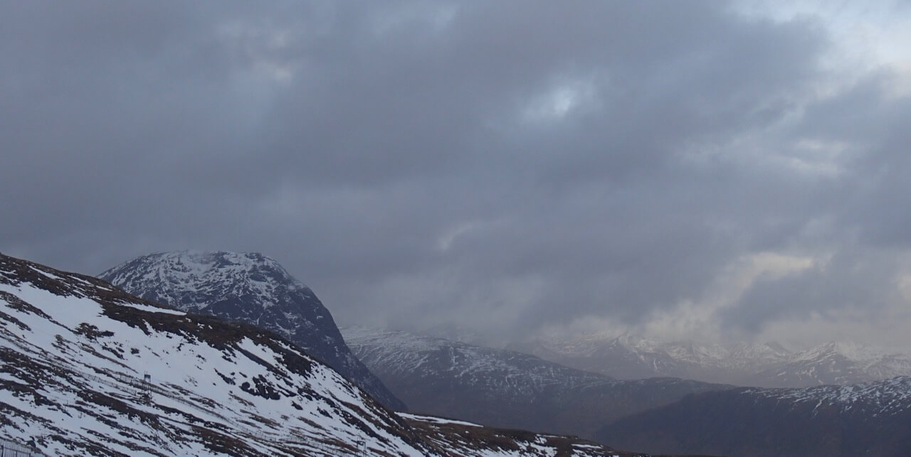
Looking across to Stob Dearg on the left with the Mamores hills in the distance.

Ski tourer’s making the most of the dry day.
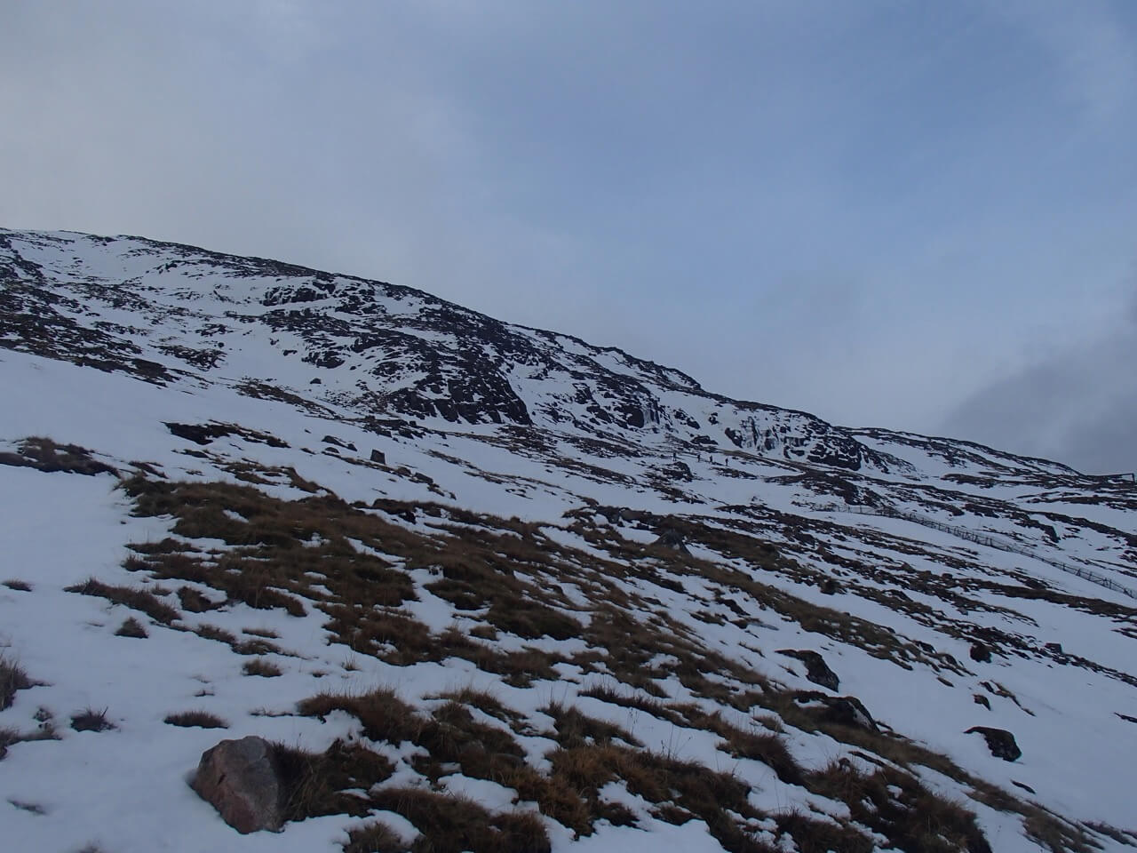
More ski tourer’s on Northerly aspect heading up to the summit of Meall a’ Bhuiridh.
Forecast; Sunday night, a short spell of mild air and some rain, then colder showery conditions during the early hours and persisting through Monday. The freezing will lower to around 650 metres in the early part of Monday with light snow showers. Winds will be strong mainly from a South-Westerly direction.
The moist snowpack will consolidate as the freezing level lowers. New snow amounts are not expected to be significant, however shallow windslab will start to build in sheltered locations. These areas will tend to be localised on North to Easterly aspects above 900 metres with the tops of summit gullies and steep coire headwalls mainly affected . The avalanche hazard will be Low.
Comments on this post
Got something to say? Leave a comment


