Poor Visibility and rain
11th December 2021
Initially, snow showers fell mainly above 650 metres then the freezing level rose above the summits by mid-day theshowers turned to rain at levels, it was plus 3.1 degrees celsius around 2pm. Winds were fresh to strong from a South-South-West.
Conditions on the hill above 800 metres.

Aonach Eagach Ridge.

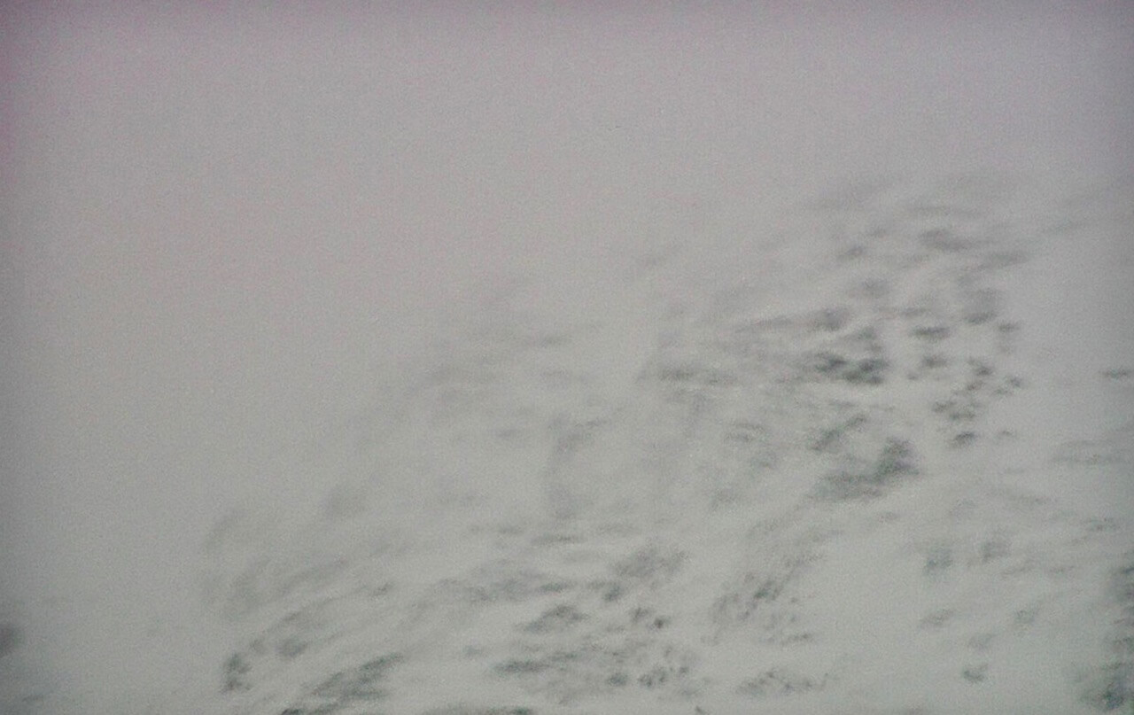
Stob Dearg and Coire na Tulaich. Note the black crags and rock as the rain affects the snow cover.

Stob Coire nan Lochan.
Forecast; Light snow showers dying away during the morning, then an area of rain spreads in from the South. Snow showers quickly becoming rain as the freezing level rises above all summits. West to South-West summit gales to severe gales easing for a time late Sunday morning, before backing South or South-East and strengthening again in the afternoon. New snow amounts are not expected to be significant. Overnight and during the morning the moist snowpack will partially re-freeze and consolidate before being affected by rain again. This will lead to moderately bonded surface wet snow instabilities in particular on North through East to South-East aspects above 850 metres. Cornices will become unstable. The avalanche hazard will be Moderate.
Comments on this post
Got something to say? Leave a comment


