Flat white today…
8th January 2022
It was a mostly dry day, flat light but with reasonable visibility, the freezing level was around 750 metres. On the odd occasion light snow fell mainly above 600 metres but deposits were not significant. The winds were moderate to fresh from a Westerly direction.
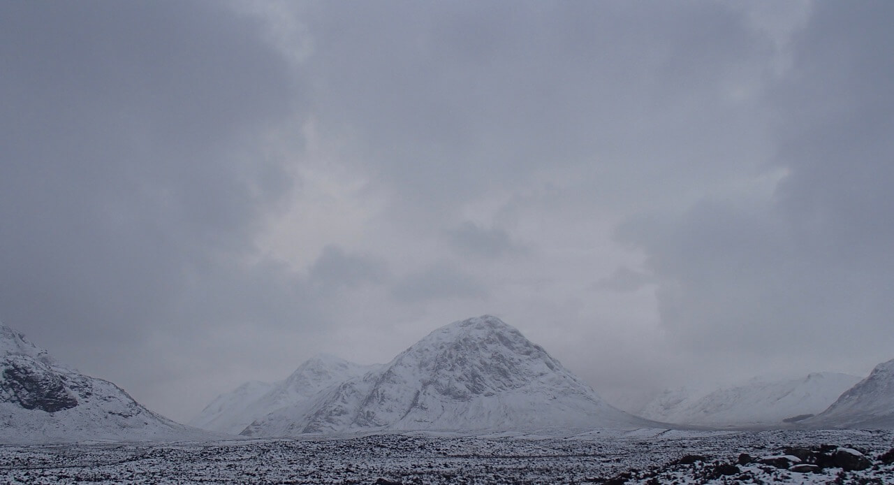
Looking across to Buachaille Etive Mor.

Winter mountaineers at around 450 metres making the trail through the moist snow cover.
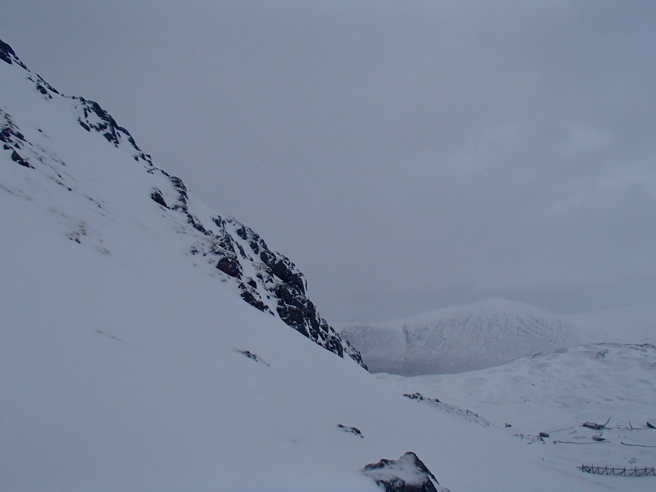
Looking from the northerly slopes of Meall a’ Bhuiridh toward Beinn a’ Chrulaist.

The Rannoch Moor
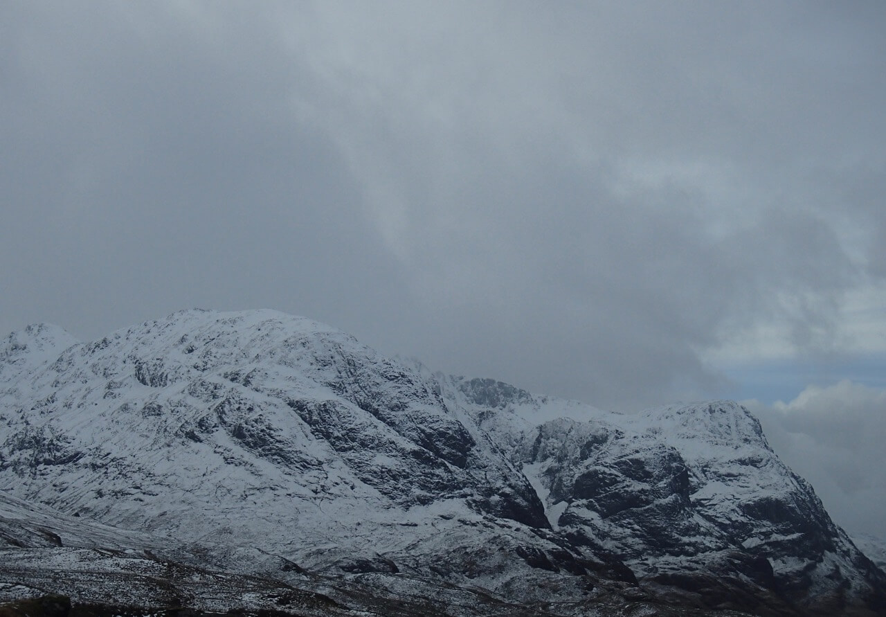
Stob Coire Sgreamhach furtherest left then the 3 sisters of Glen Coe.
Forecast Weather Influences: Overnight, freezing level at around 400 metres, strong South-Westerly winds with snow showers falling mainly above 300 metres. The snow showers will continuing through the morning, winds easing and backing to become East-South-Easterly with the freezing level slowly rising to 800 metres.
Forecast Snow Stability and Hazard: New snow and strong winds will form new areas of poorly bonded windslab in many sheltered locations. In particular, sheltered gullies and steep coire rims and on slopes with a North-West through North to Easterly aspect mainly above 800 metres. Cornices will be fragile. The avalanche hazard will be Considerable.
Comments on this post
Got something to say? Leave a comment


