New snow.
31st January 2022
New snow is lying down to around 700 metres, the general cover remains quite thin but it looks a bit more seasonal. A brief thaw on Sunday night followed by colder conditions has formed a breakable crust in many areas. Isolated areas of windslab exist in the most sheltered areas.
A light fall of snow is expected this evening followed by milder conditions with rain at all levels. This will be followed by a return to colder dry conditions for Tuesday. Cold North-Westerly summit gales are expected.
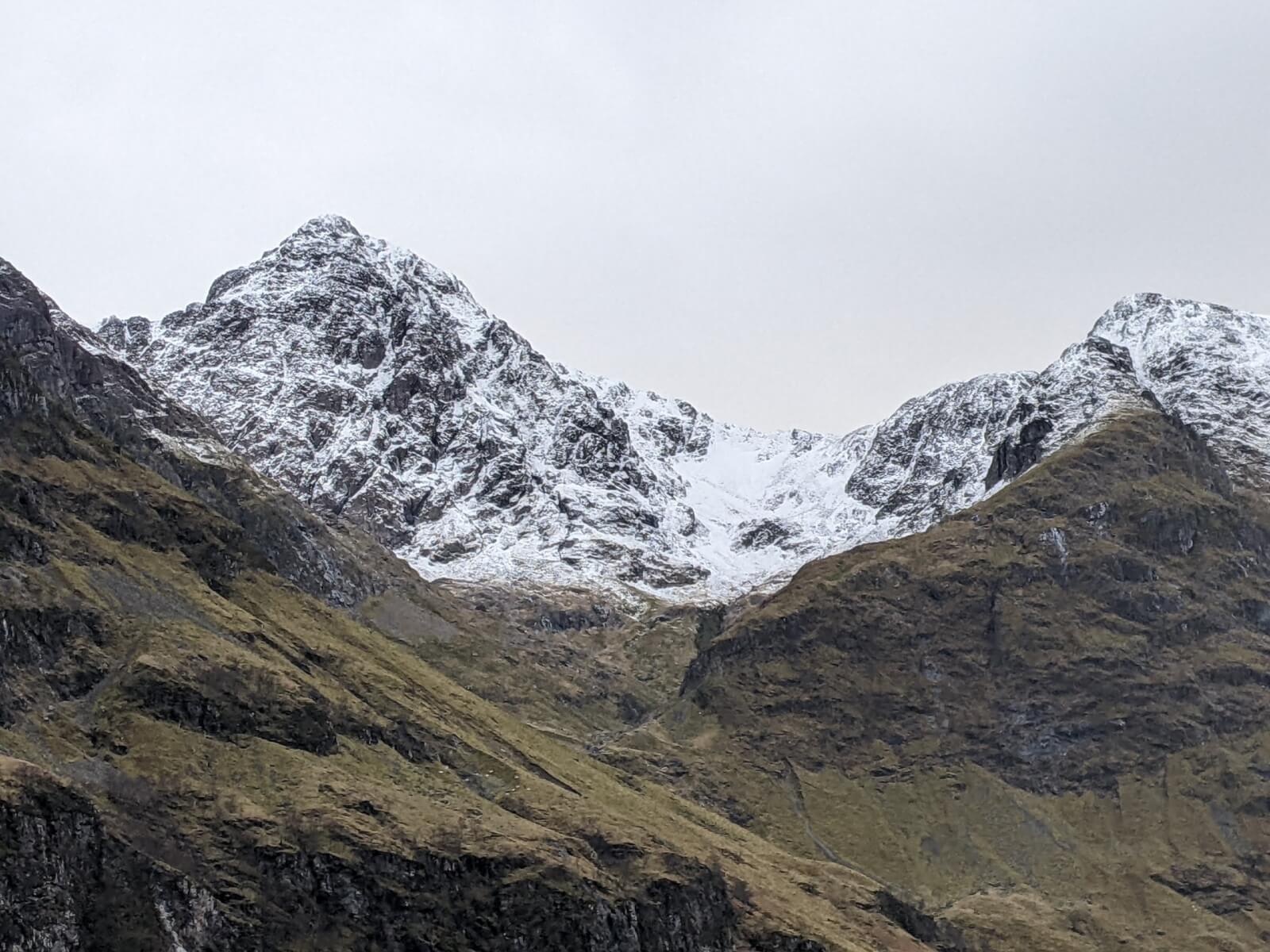
Stob Coire nam Beith.
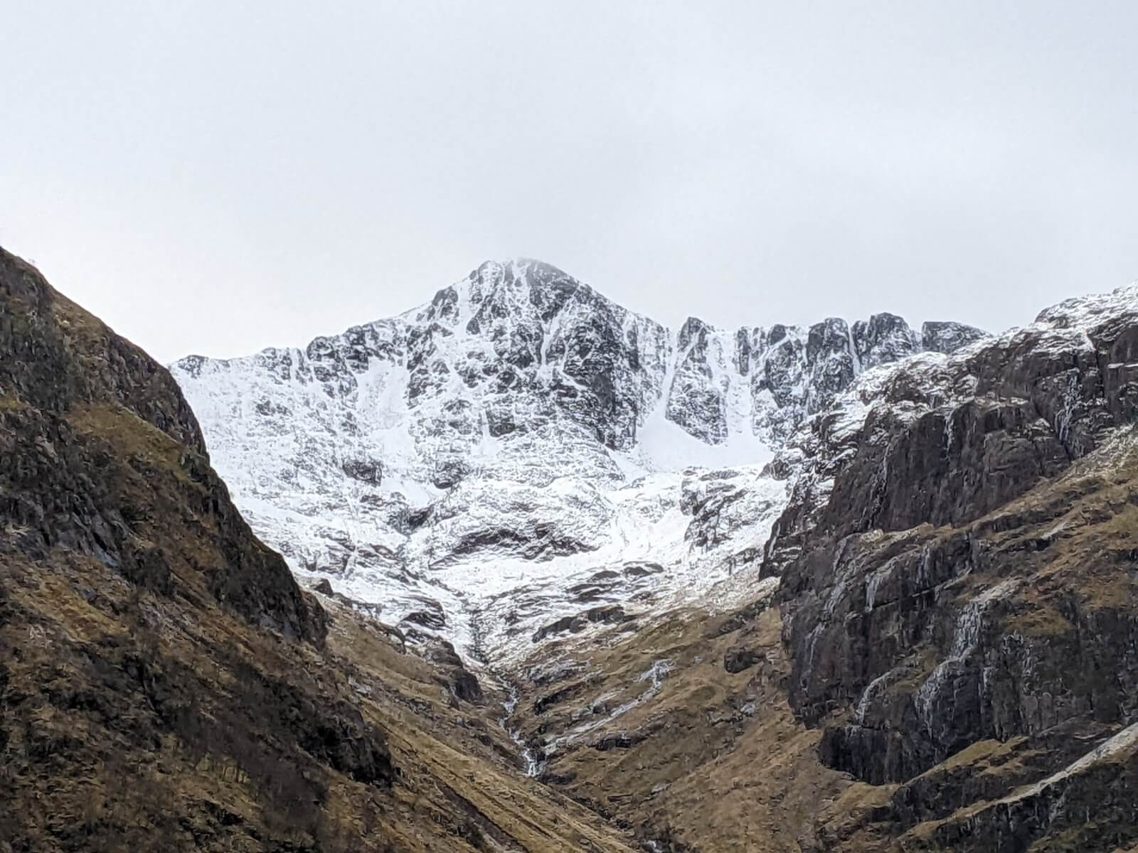
Stob Coire nan Lochan.

Creise( back left)
Comments on this post
Got something to say? Leave a comment


