Poor visibility …..
26th January 2022
It was mild, plus 2.5 degrees celsius at 1000 metres and rain fell at all levels, winds were strong from the South-Westerly direction.
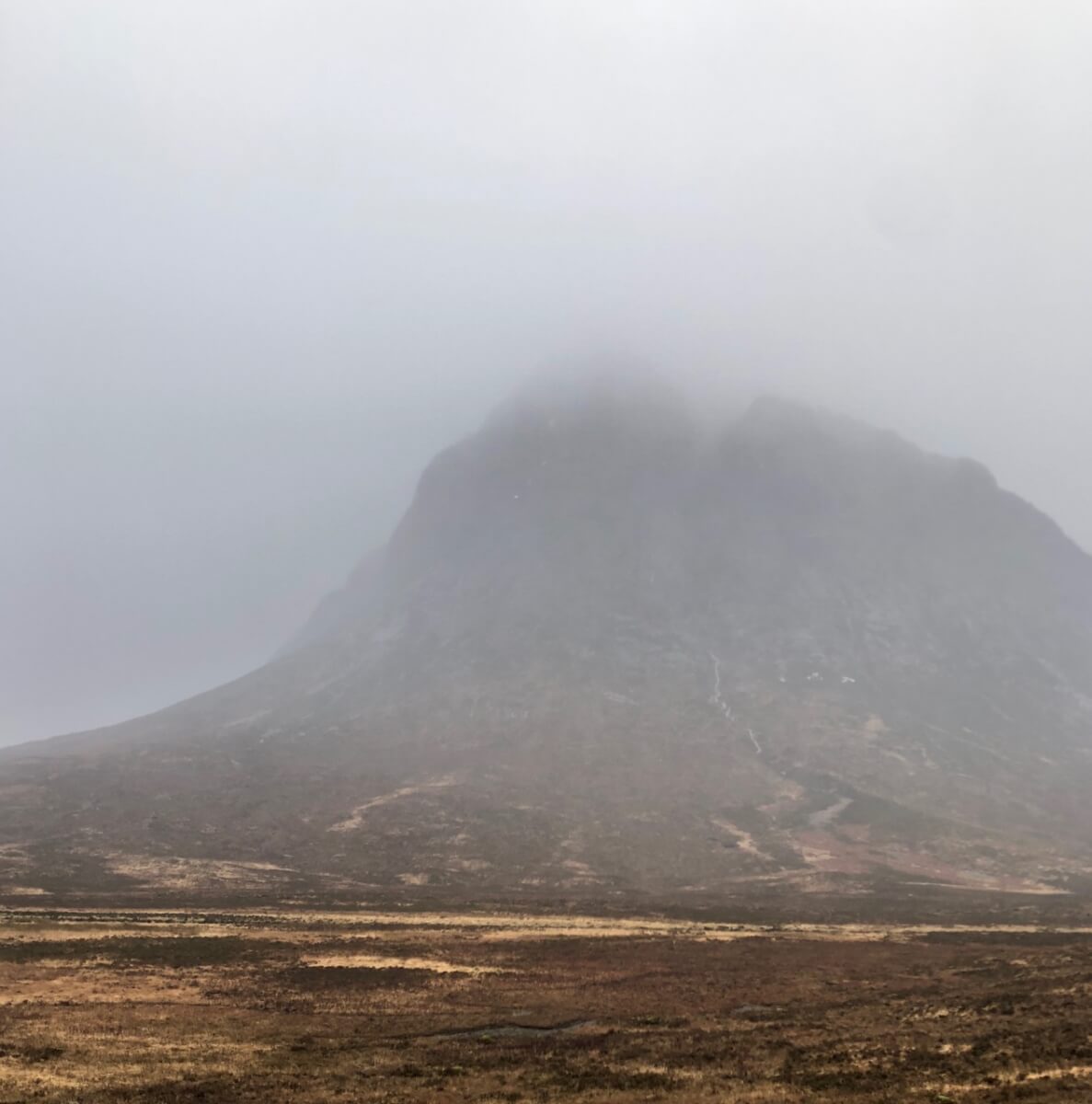
Northerly aspect of Stob Dearg.

Poor visibility in Glen Coe.

The 3 sisters of Glen Coe also in the previous photo. Beinn Fhada on the left Gearr Aonach in the middle and Aonach Dubh on the right. These are all truncated spurs, truncated spurs are landforms that occur in glaciated areas. When a valley fills with a glacier, any land which is in the way of the moving glacier will be eroded away. Truncated spurs have steep sides which show this erosion.

The summits were cloud covered for most of the day in Glen Coe.

Looking into Coire Gabhail – Lost Valley.
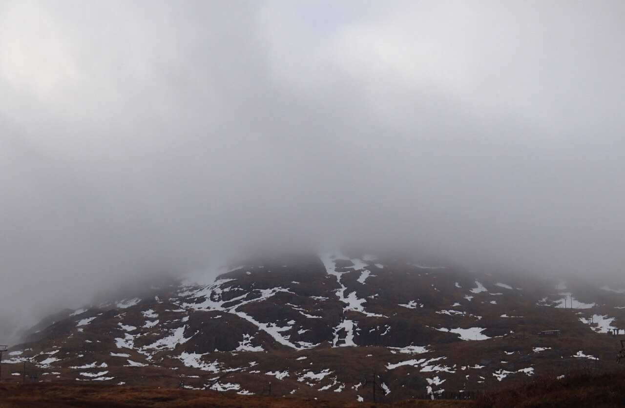
Patches of snow still persisting on Meall a’ Bhuiridh.
Forecast Weather Influences:Â Overnight, rain and strong Westerly winds. During the day the freezing level will lower to around 900 metres and light precipitation will fall as snow, mainly above 800 metres. The strong Westerly winds will ease and veer to become West-North-Westerly.
Forecast Snow Stability and Hazard: New snow amounts are not expected to be deep or extensive mainly a light thin cover above 850 metres and lying mostly on bare ground. On North to Easterly aspects above 850 metres the old patchy snowpack will re-freeze, will be firm, well bonded and stable. The avalanche hazard will be Low.
Comments on this post
Got something to say? Leave a comment


