Re-frozen snowpack..
11th January 2022
Last night the freezing level fell to around 650 metres this help stabilise the moist snowpack. There was some ice and verglas on rocks and paths above 600 metres. Isolated precipitation fell as light snow mainly above 800 metres these accumulations are not significant, the winds were moderate to fresh from the South-Westerly direction.

Meall a’ Bhuiridh maintains reasonable snow cover despite yesterdays thaw conditions.
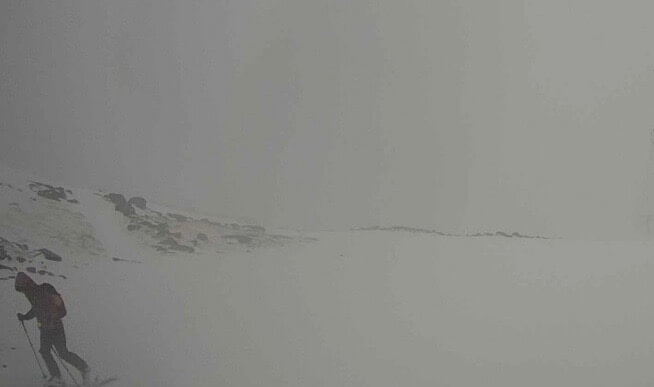
A ski tourer near the summit of Meall a’ Bhuiridh.
The Aonach Eagach Ridge has lost a lot of its snow below 800 metres.

Brighter spells this morning.

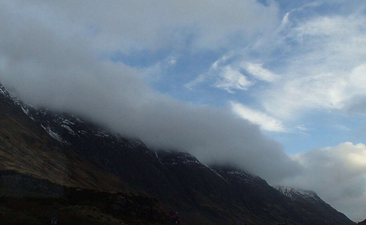
Looking towards the Rannoch Moor.
Forecast Weather Influences: Overnight, a weak warm front will affect the area introducing mild conditions with the freezing level above the summits. Early morning rain falling at all levels continuing through the day, with strong, West-South-Westerly winds and on occasions from the South-Westerly.
Forecast Snow Stability and Hazard: The snowpack will become more moist but should remain generally well bonded in most locations. On steeper slopes some wet snow instabilities may develop during the course of the day. Areas most affected, sheltered gullies, steep coire headwalls and steep slopes with a North-West through North to East aspect above 850 metres. Cornices will be soft and unstable. The avalanche hazard will be Low.
Comments on this post
Got something to say? Leave a comment


