100 plus mile per hour gusts. Quite a breezy day!
23rd February 2022
Glencoe mountain reported gusts over 100mph this morning. Unsurprisingly, there was no skiing today.
Overnight the freezing level rose to the summits and seemed reluctant to start to fall back down, until later in the morning. This meant the existing snowpack was saturated to the summits overnight, and will now be cooling in the falling temperatures. Gale force winds have brought frequent squally showers during the day. As the afternoon has progressed these have been falling as snow to lower levels, and fresh windslab will be starting to build on high, North-East to South-East aspects.
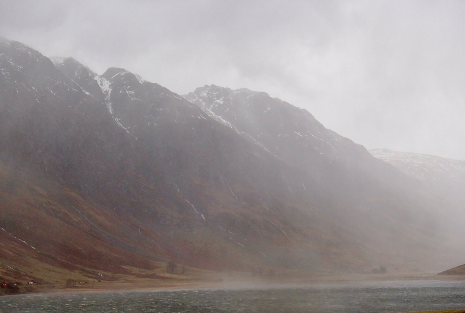
A waterfall being blown vertically upwards, looking up to Stob Coire nam Beith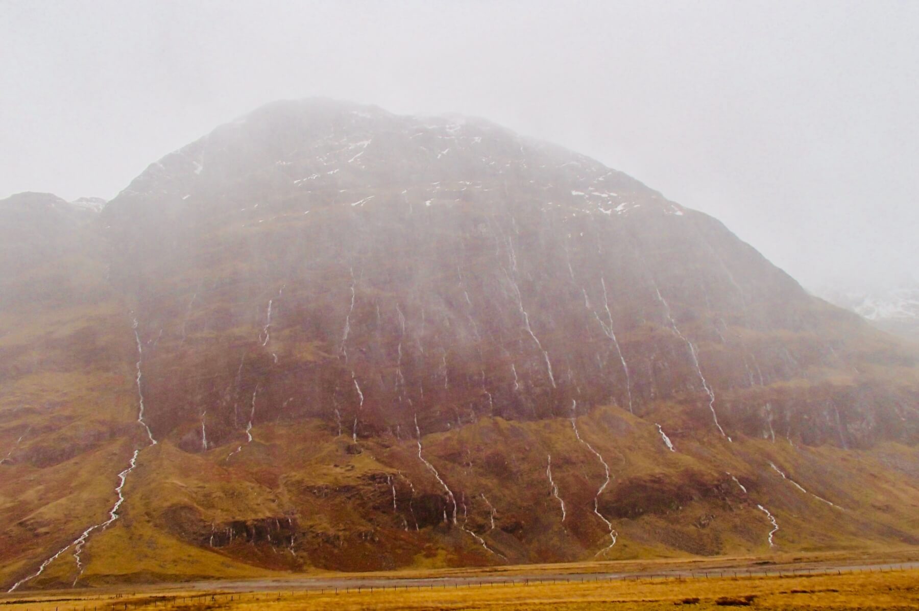
Plenty of water running off the North face of Aonach Dubh

Looking into Coire na Tulaich, some fresh snow starting to settle at around 900m.
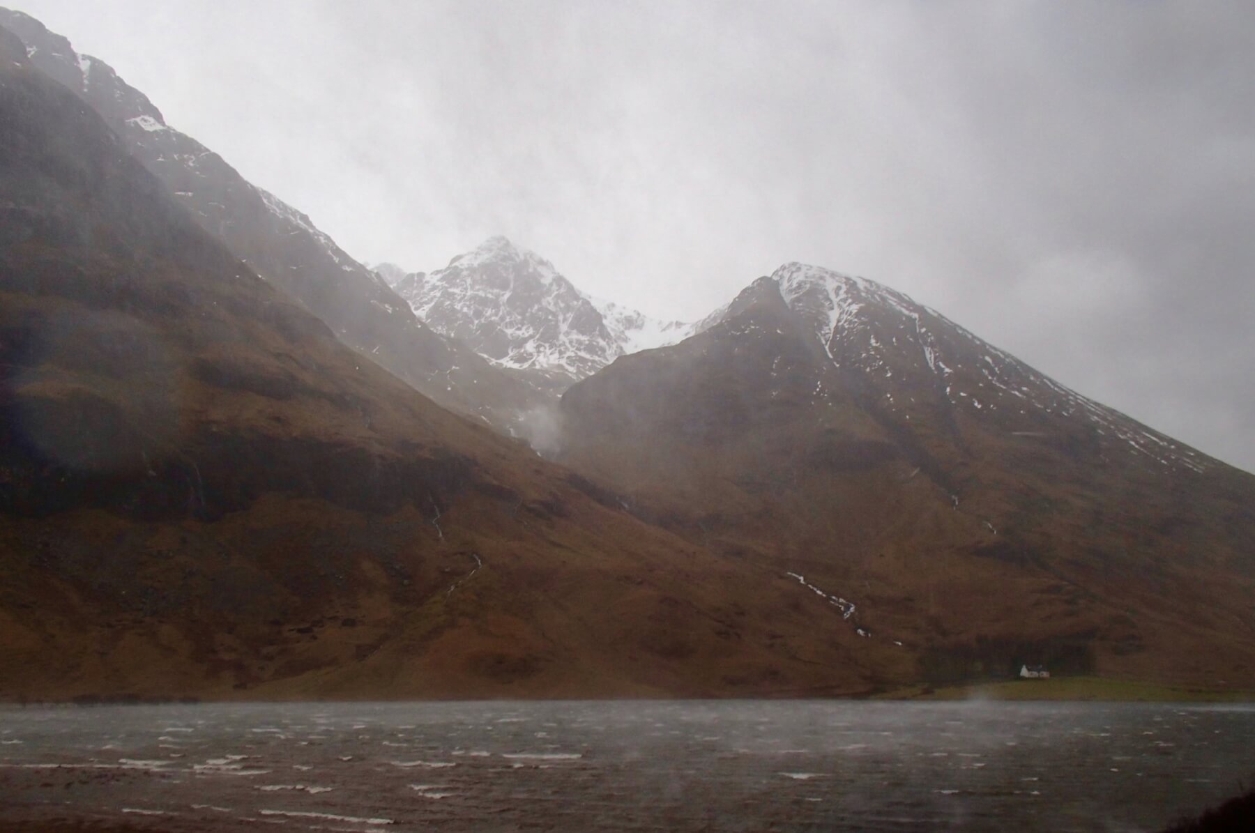
Water, water everywhere. It was being blown upwards off Loch Achriochtan
Forecast Snow and Stability Hazard
Poorly bonded windslab will continue to develop on North-West through North to South-East aspects above 800 metres. Greatest accumulations will be on North-East and East aspects in wind sheltered locations. Where these deposits gain depth, stability will be poor. Areas most affected will be gully tops, corrie rims, scarp slopes and crag aprons. Fragile cornices will develop above these aspects. Wind scoured slopes will become icy and stable. The avalanche hazard will be Considerable.
Comments on this post
Got something to say? Leave a comment


