Blustery wintry snow showers….
22nd February 2022
The freezing level rose above the summits last night with some rain at all levels, then the freezing level quickly fell to around 650 metres this morning giving a melt freeze cycle. Some heavy snow fell during the course of the day mainly above 550 metres, accompanied by very strong Westerly winds.

Approaching Glen Coe this morning showing some light new snow on Stob Coire nan Lochan (left summit) and on Bidean (right summit) mainly above 600 metres.
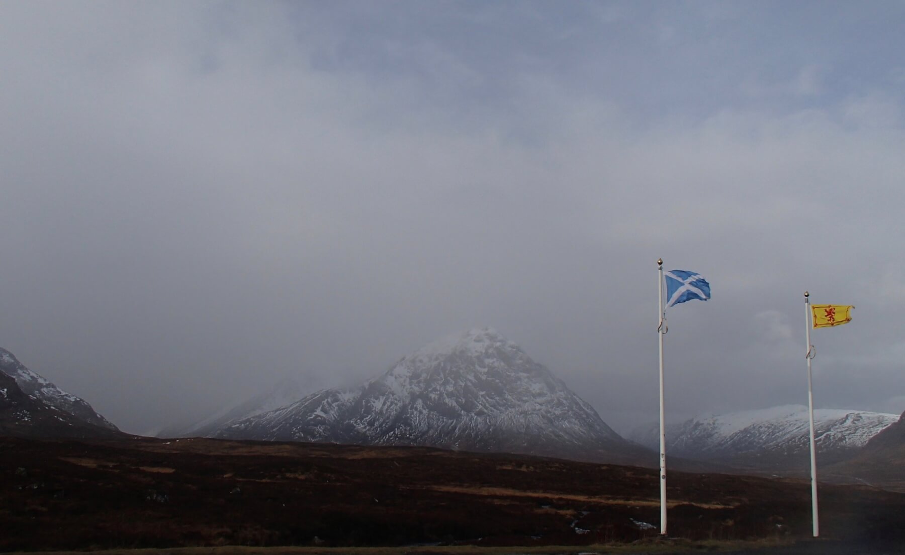
At the top of the glen the flags are horizontal! – strong Westerly winds these will be distributing the new snows into sheltered Easterly aspects forming unstable windslab.

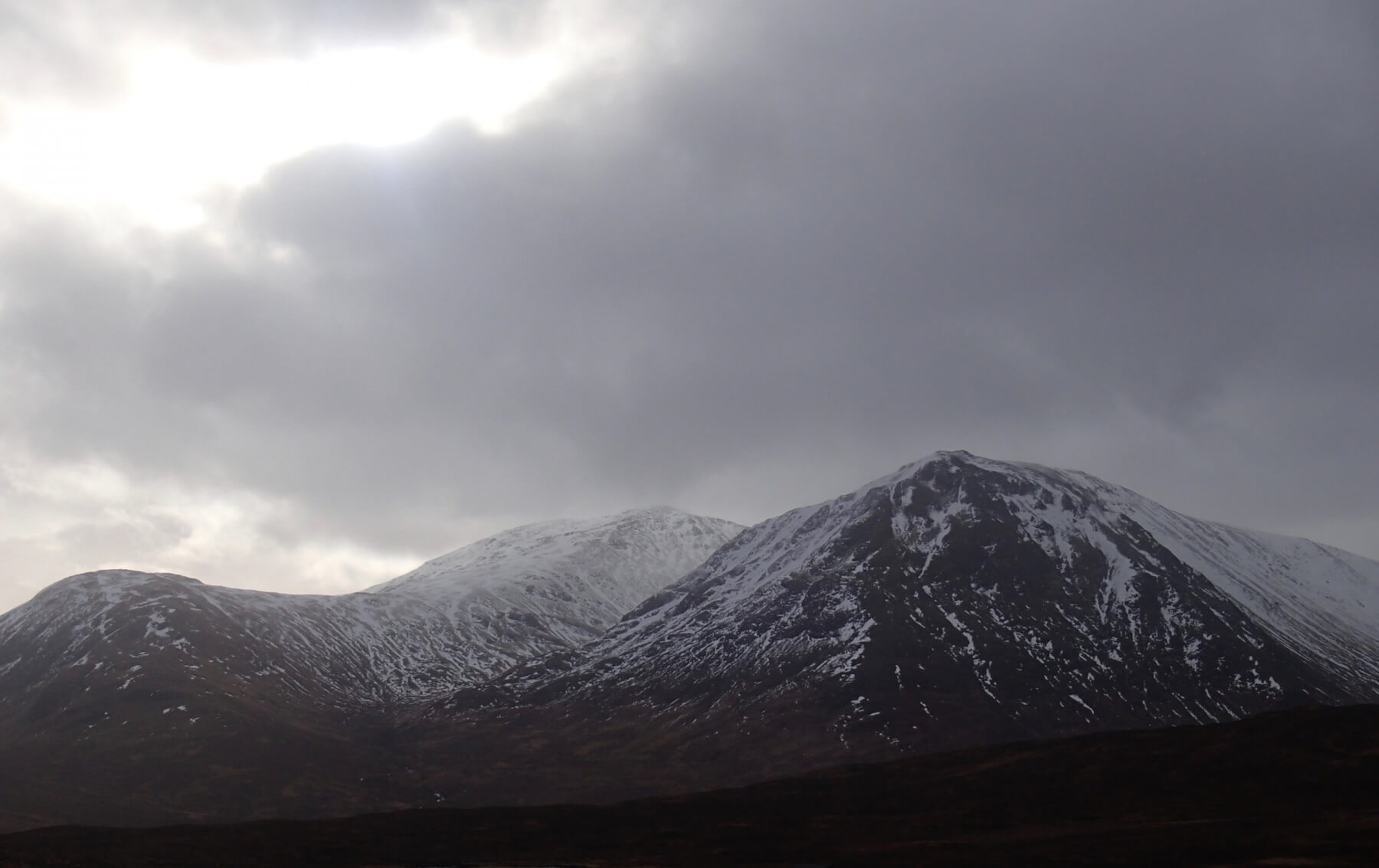
Brighter spell showing Buachaille Etive Mor.

Northerly aspect of Stob Dearg – Buachaille Etive Mor.
Meall a’ Bhuiridh and Stron na Creise.
Forecast Snow Stability and Hazard: Poorly bonded windslab accumulations will persist and continue to accumulate becoming more extensive in wind sheltered locations. Where these deposits gain depth they will be weakly bonded, the greatest accumulations being on steep North through East to South-East aspects above 850 metres. Gullies, scarp slopes, gully exits and steep coire rims will be particularly affected. Fragile cornices will be present above these similar steep aspects. The avalanche hazard will be Considerable.
Comments on this post
Got something to say? Leave a comment


