Calmer winter weather
11th February 2022
Today was calmer than yesterday was, and calmer than tomorrow is forecast to be! The clouds lifted enough to see the snow distribution from the previous days snowfall on high winds. Windslab persists on North through East to South-East aspects above 800 metres. Further windslab will be deposited on top of existing windslab on North-West to North-East aspects at the start of the night. The freezing level will then rise and precipitation turn to rain at most levels. Wet snow instabilities will then develop on all the above aspects. Tomorrow will be a wet and windy day.
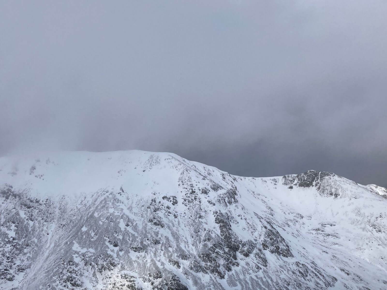
Looking across to Creise and Stob a Ghlais Choire from Meall a’ Bhuiridh. Windslab accumulations can be seen on North-East to South-East aspects in this photo. These will become increasingly unstable as rain sets in overnight.
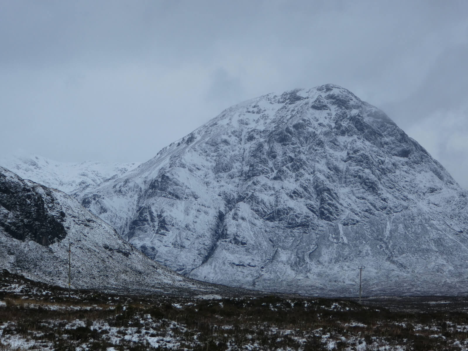
Looking to Buachaille Etvie Mor. The peak of Stob Dearg in the foreground and Stob na Doire visible behind.

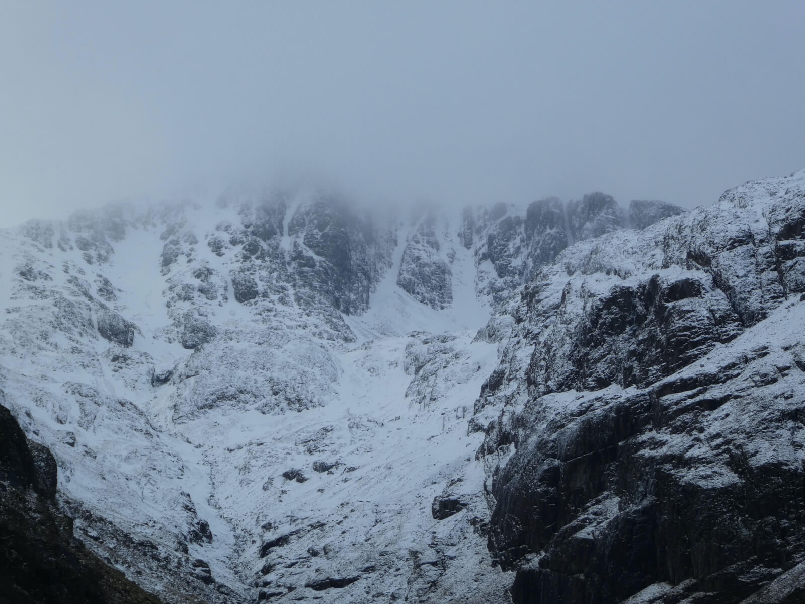
Coire na Tulaich, on Buachaille Etive Mor.
Stob Coire nan Lochan.
Comments on this post
Got something to say? Leave a comment


