Milder than of late – plus 2.5 degrees celsius @1200 metres…
7th February 2022
The freezing level rose above the summits plus 3 degrees clecius at 1100 metres at midday. The Westerly winds strengthened as the day progressed with precipitation falling light snow early morning which turned to rain at all levels.
Visibility was generally poor so not a great day for photos.
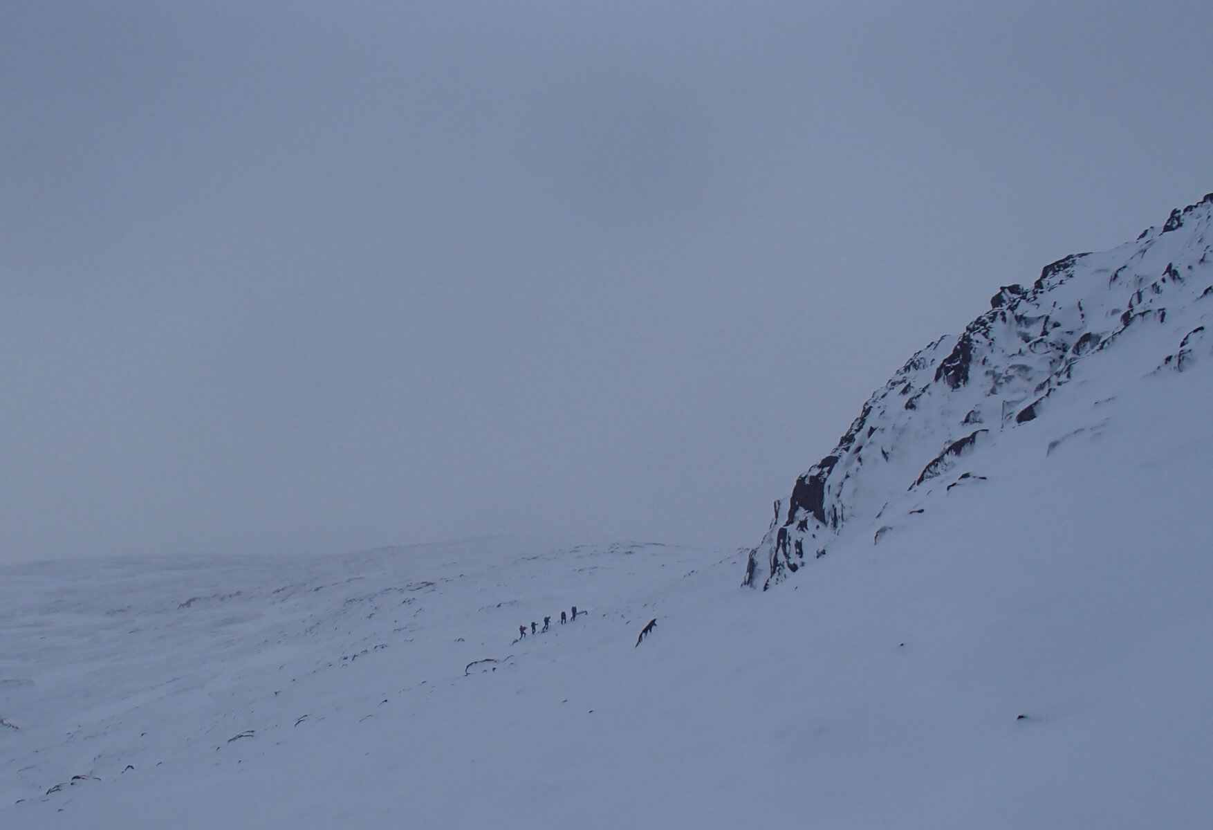
Mountaineers heading up on North-Easterly aspect on Meall a’Bhuiridh at around 850 metres.

Recently formed cornices starting to droop in the milder conditions.
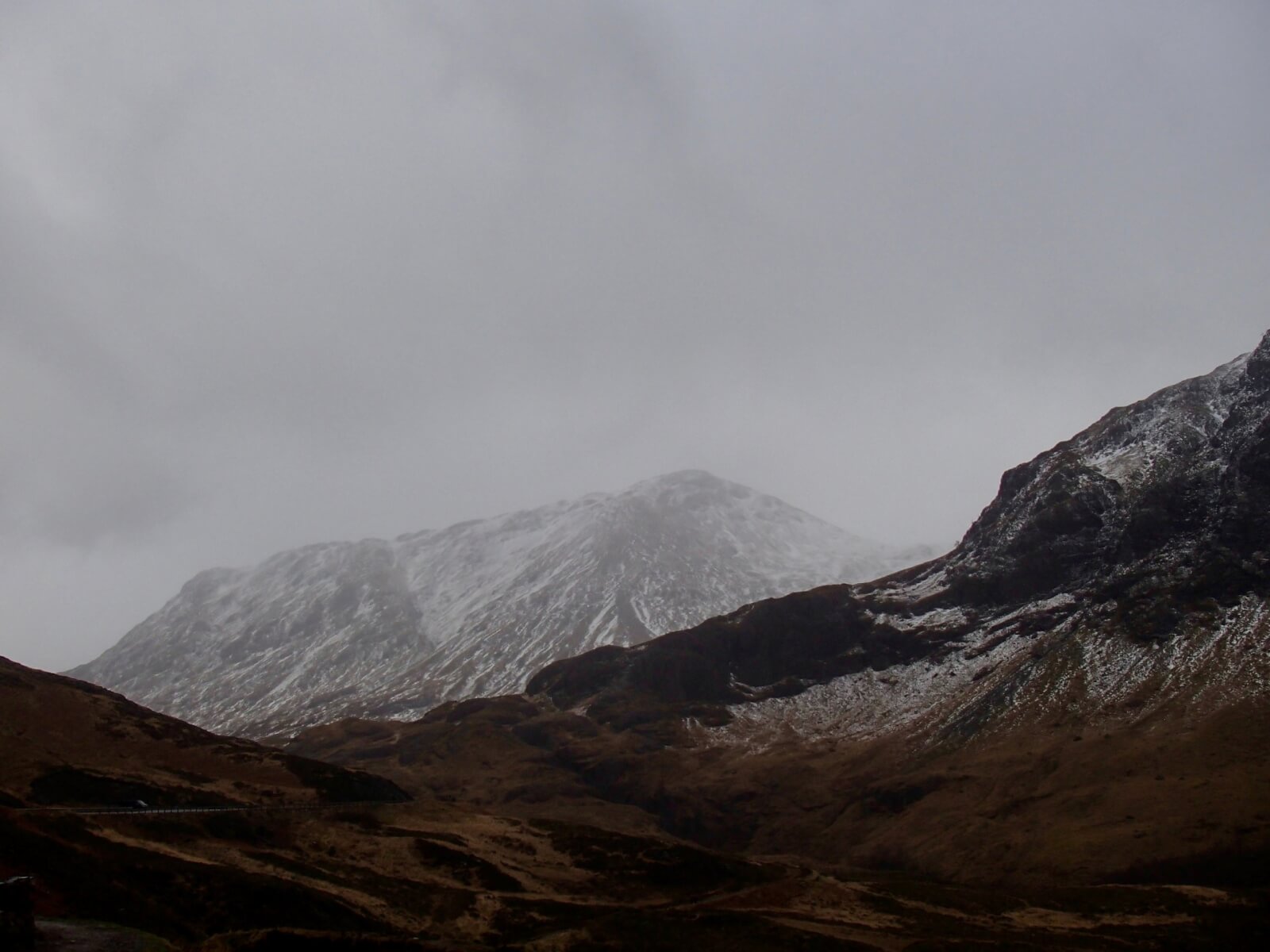
Stob Coire Raineach starting to loose some of its snow cover as rain affects its slopes.
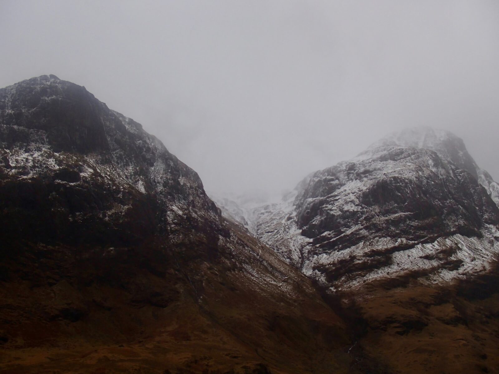
Gearr Aonach of the left, Stob Coire nan Lochan shrouded in cloud with Aonach Dubh on the right.
Weather Forecast Influences: Overnight, the freezing level will lower to around 500 metres. Light snow showers through the period with strong West-South-Westerly winds.
Forecast Snow Stability and Hazard: The surface layer of the older snowpack will refreeze but instabilities still persist in deep accumulations. New accumulations of poorly bonded windslab will develop mainly on North to East aspects above 900 metres. Greatest instabilities will continue to exist in steep wind sheltered locations such as coire rims, gully tops and ridge flanks. The avalanche hazard will be Considerable.
Comments on this post
Got something to say? Leave a comment


