Overnight snow arrived…
16th March 2022
Last night and during the early hours of this morning new snow fell mainly above 800 metres accompanied by light Westerly winds. Today was dry and calm, hardly any wind what little there was came from a North-Westerly direction. The freezing level was around 900 metres.
The Beinn Fhada ridge with Stob Coire Sgreamhach at the head of Coire Gabhail.

Buachaille Etive Mor with the Aonach Eagach ridge in the distant right.

Stob Dearg and Coire na Tulaich.

The Aonach Eagach ridge this morning.
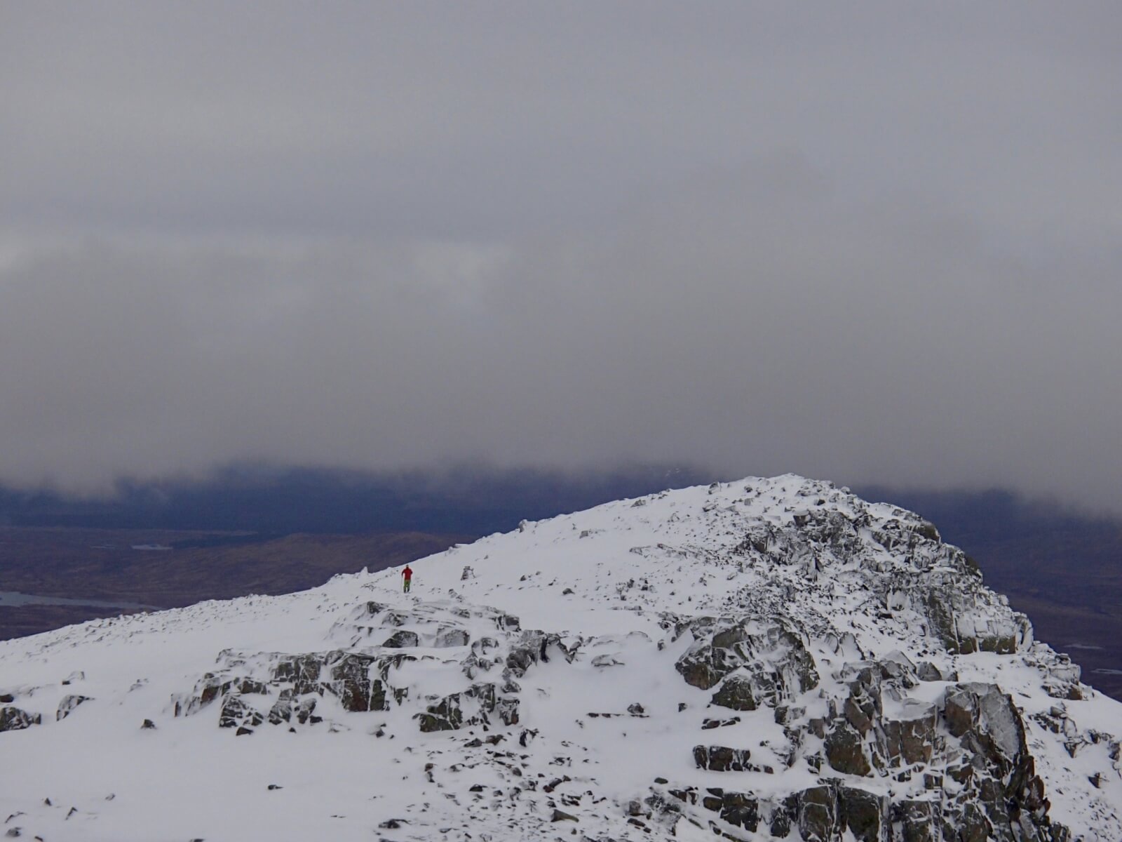
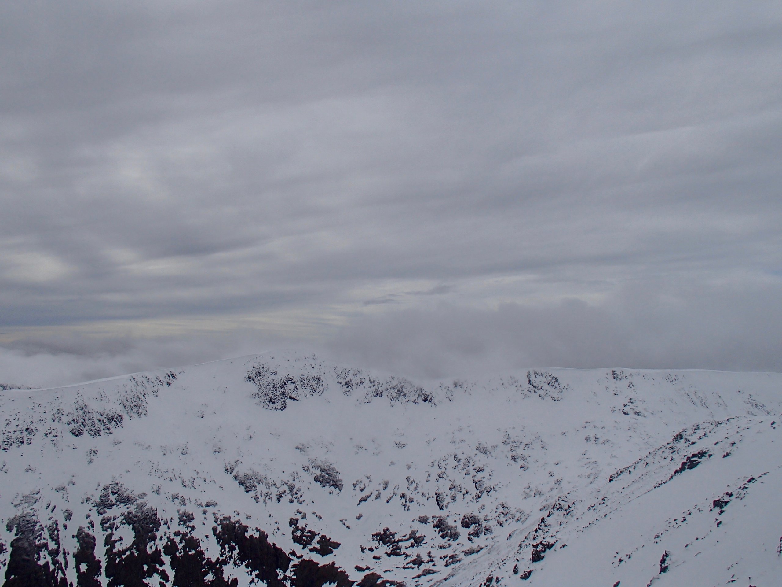
Meall a’ Bhuiridh.
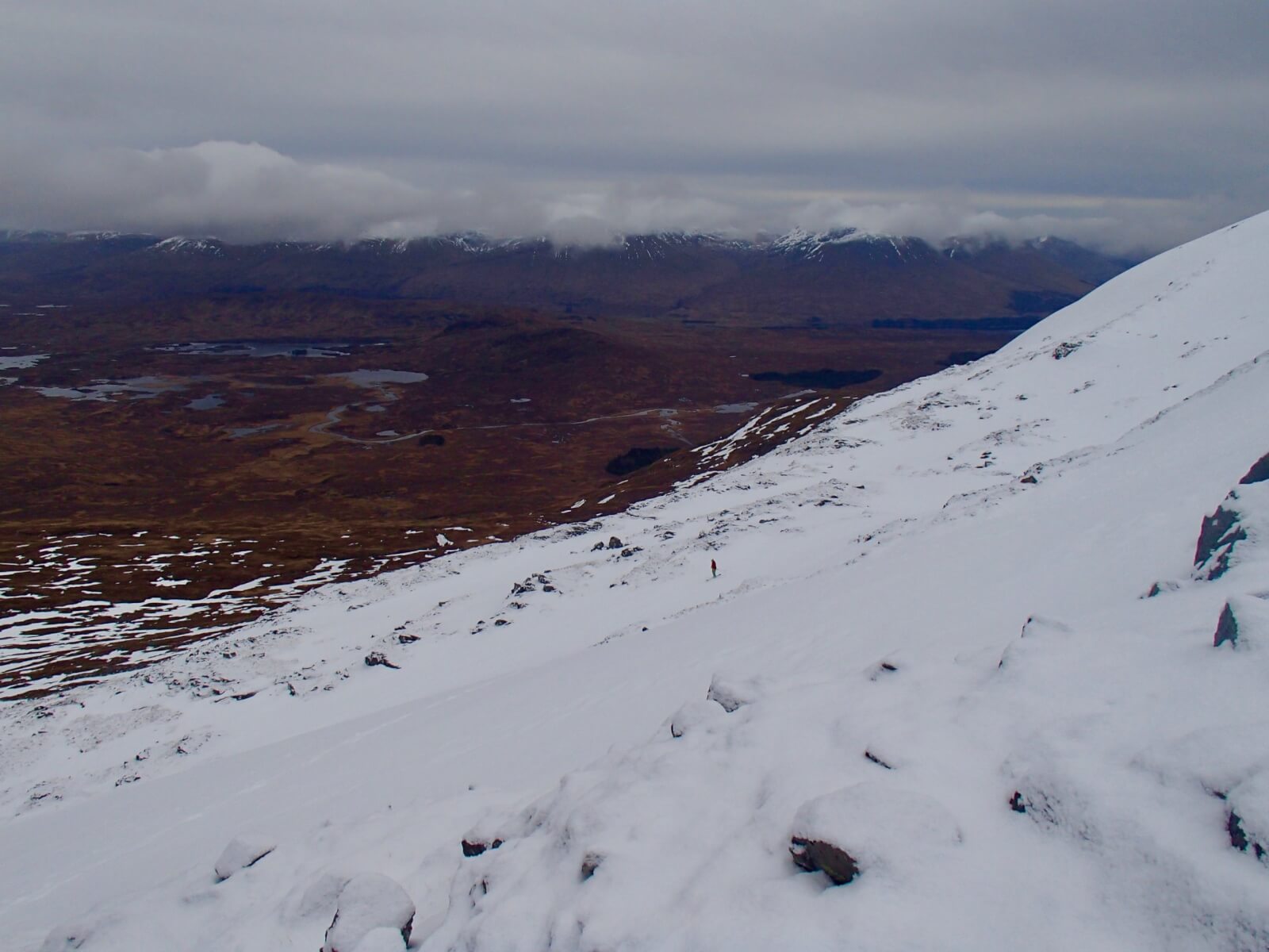
Skiier having just skied the Fly Paper run on Meall a Bhuiridh with the Rannoch Moor beyond.
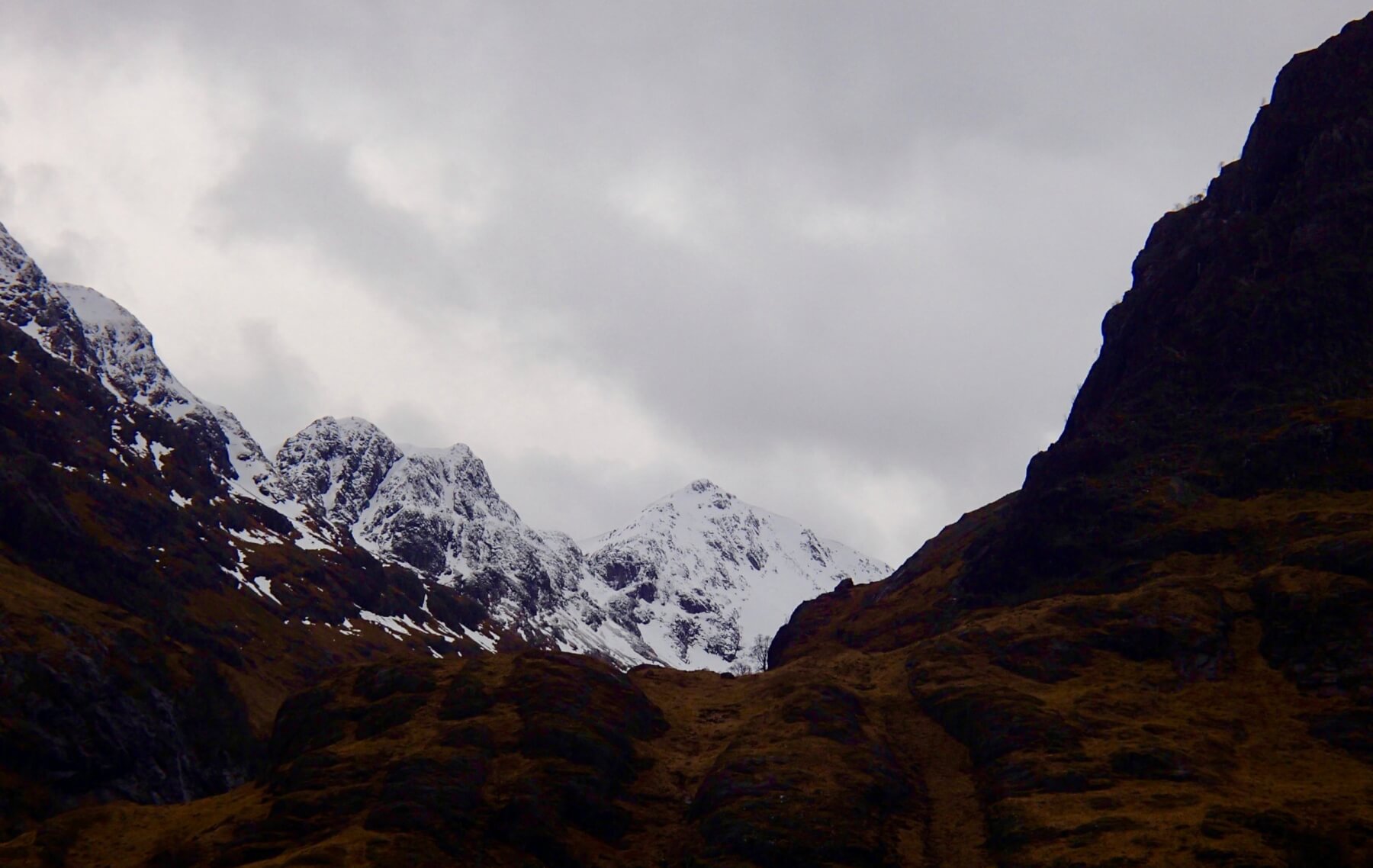
Stob Coire nan Lochan.
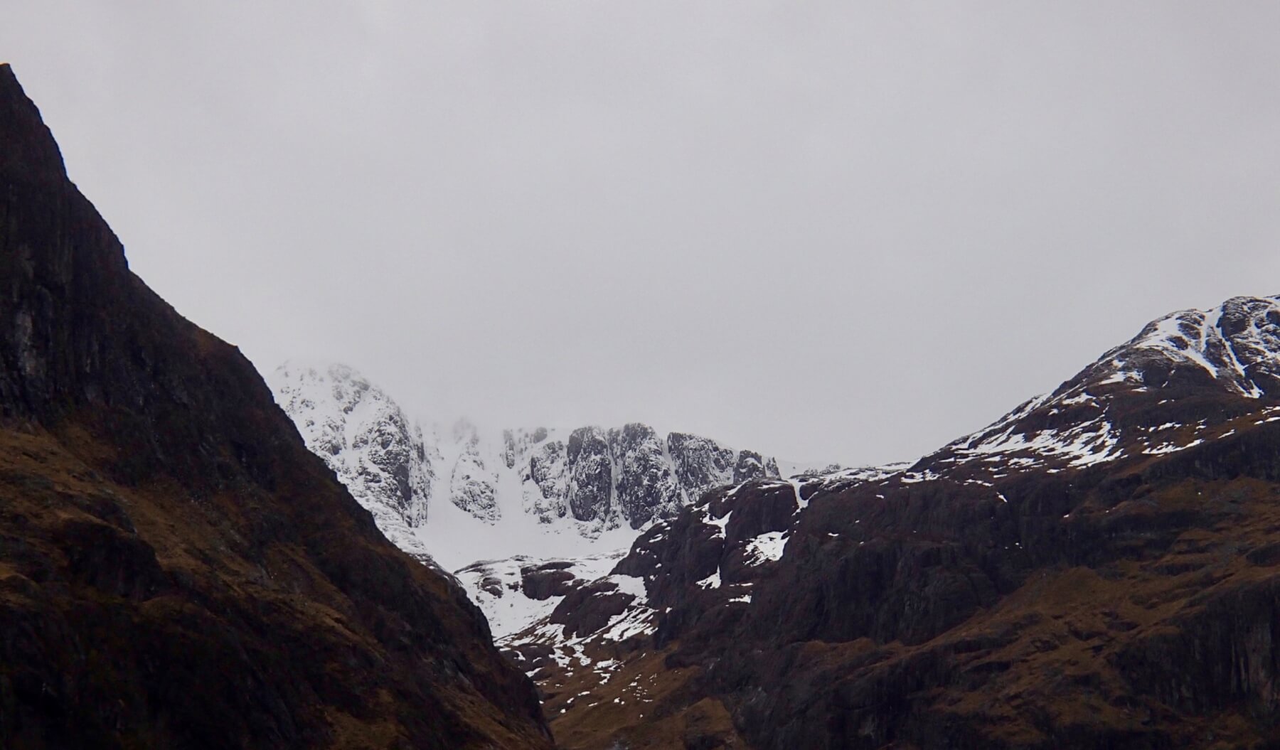
Clach Leathad with plenty of cornices on its North-Easterly aspects.
Weather forecast influences: Overnight, the freezing level will be around 700 metres, it will rise to 1100 metres by midday then fall to 800 metres in the afternoon. After a dry night precipitation will fall as snow above 600 metres rising to 950 metres before falling to 800 metres. Moderate Southerly winds will strengthen becoming strong, South-Westerly by early morning.
Forecast Snow Stability and Hazard: New snow will form areas of poorly bonded windslab in wind sheltered locations adding to existing windslab deposits. Greatest accumulations will be in sheltered gullies and on steep slopes with a North to Easterly aspect mainly above 900 metres. Where these windslab accumulations achieve significant depth they will be moderately bonded. Elsewhere the snowpack will be generally well bonded. The avalanche hazard will be Moderate.
Comments on this post
Got something to say? Leave a comment


