Light accumulations of fresh snow….
6th April 2022
Overnight, the freezing level fell to around 800 metres with snow showers falling above 650 metres. During today the freezing level rose to around 930 metres snow showers mainly above 850 metres with some sleet down to 650 metres. Winds were fresh to strong mainly from the South-Westerly direction.

It was this kinda day, wet at lower elevation then sleet and eventually new snowfall. Thanks to Mountain Equipment for keeping us protected and dry.
A brief bright spell on Meall a’ Bhuiridh taken at around 650 metres.

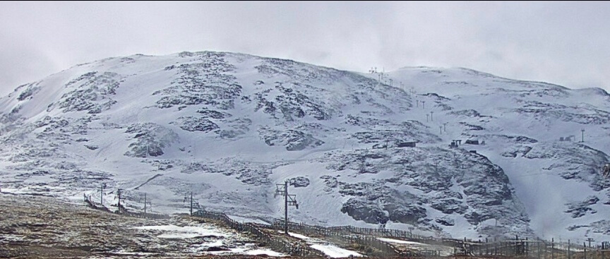
Fresh snow on Stob Dearg and in Coire na Tuliach.

Stob Coire nan Lochan.
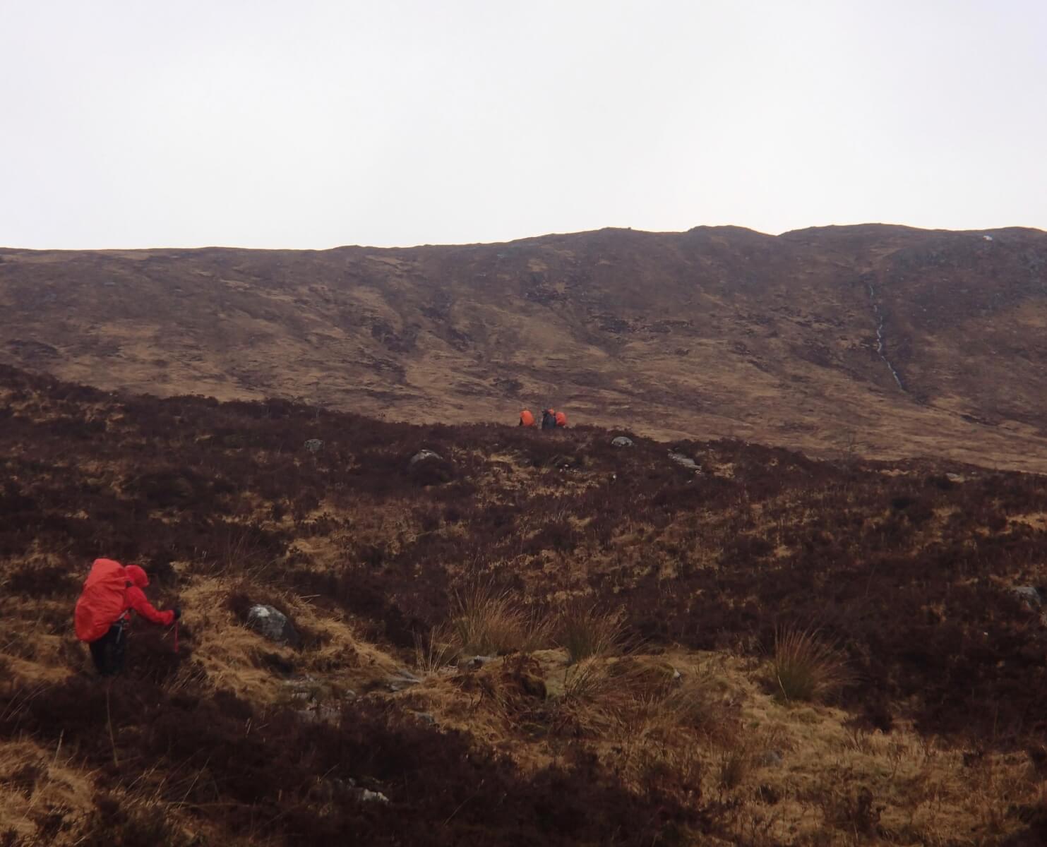
Plenty of walkers on the West Highland way.

Northerly aspect of Stob Dearg.
Weather Forecast Influences: Overnight, the freezing level will lower to around 400 metres before rising to 700 metres during the day. Snow showers mainly above 400 metres and heaviest overnight, these will continue through the day and lessen. Fresh Southerly winds will back, strengthen then decrease becoming North-North-Westerly.
Forecast Snow Stability and Hazard: Further areas of moderately bonded windslab will continue develop in wind sheltered locations. North to Easterly aspects above 900 metres will be particularly affected with deepest accumulations in steep sheltered gullies, scarp slopes and coire headwalls. New snow deposits will also develop on all other aspects but these will mainly be lying on bare ground and are not expected to be extensive. New cornices will be fragile. The avalanche hazard will be Moderate.
Comments on this post
Got something to say? Leave a comment


