After the thaw…
20th December 2022
The freezing level lowered to around 800 metres and scattered showers fell as very light snow, mainly above 700 metres. The winds were moderate to fresh from the South-Westerly direction. New snow amounted to a very light dusting and accumulations were not significant.
Avalanche Forecast for 21st December: New, shallow windslab will form in wind sheltered areas, mainly on North to East aspects above 900 metres. These accumulations are not expected to be extensive or gain any depth. The old snow deposits lying also on North to East aspects above 800 metres will remain firm and stable. The avalanche hazard will be Low.
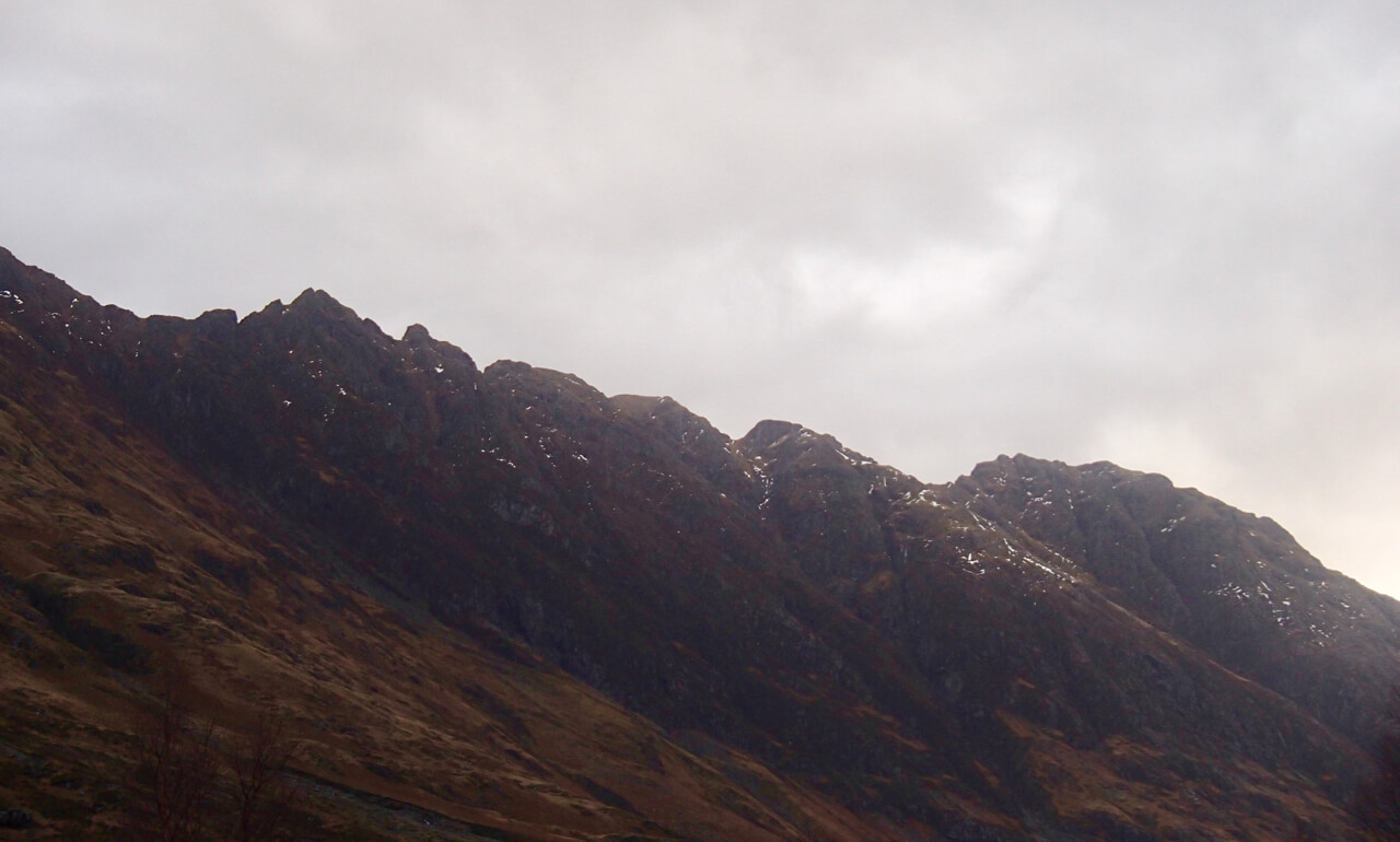
Southerly aspect of the Aonach Eagach Ridge.
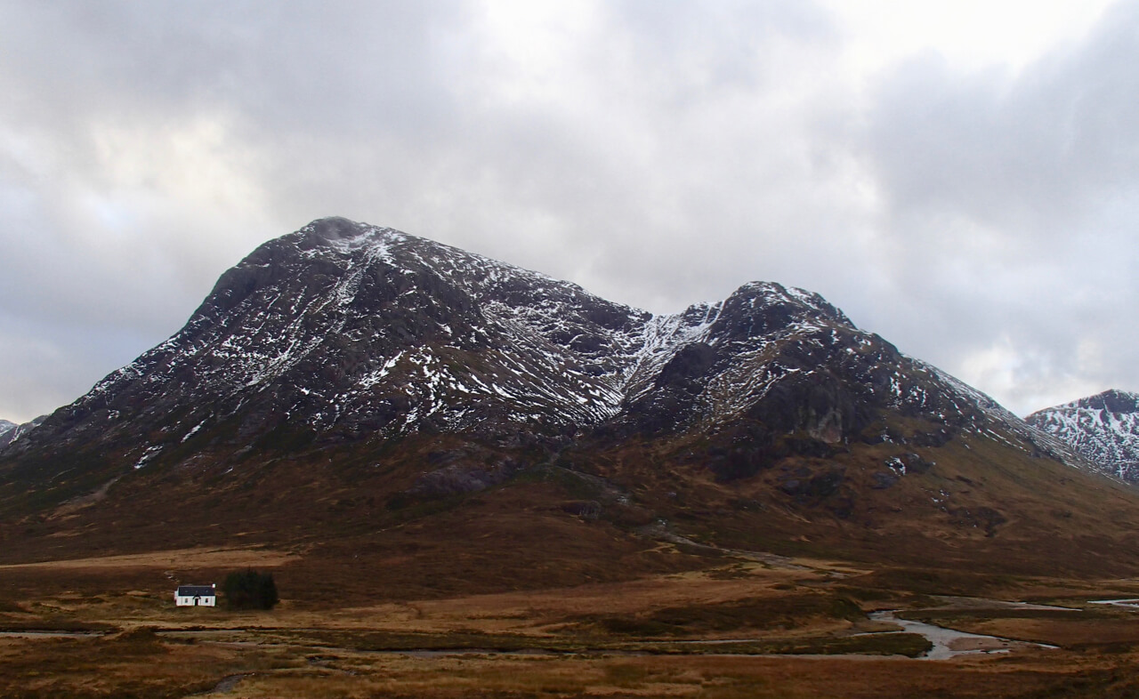
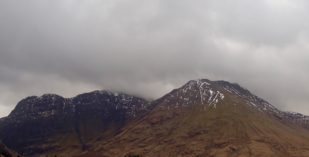
Stob Dearg – Buachaille Etive Mor.
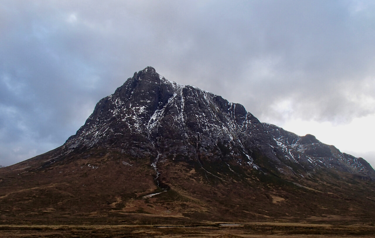
Northerly aspect of Stob Dearg.
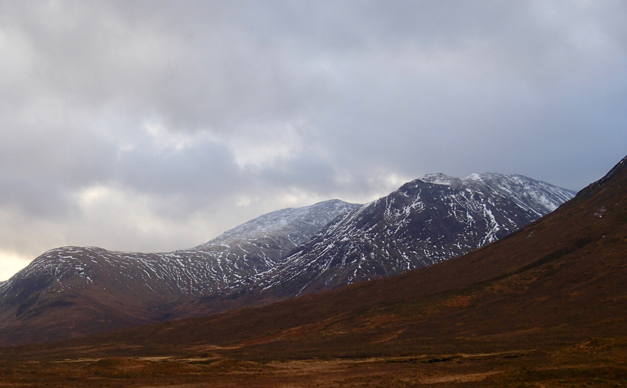
Meall a’ Bhuiridh on the left and Creise on the right, dusting on new snow can just be seen.
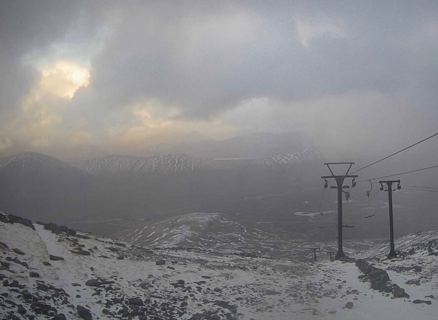
New snow accumulations just below the summit of Meall a’ Bhuiridh.

Gearr Aonach on the left Aonach Dubh on the right with the snow depletion on Stob Coire nan Lochan.
The west face of Aonach Dubh on the left with An-t-Sron and Bidean on the right.
Comments on this post
Got something to say? Leave a comment


