Cold and Calm
15th December 2022
This is the first blog of the SAIS forecasting season for the Glen Coe area and what a glorious day to begin our forecasting. Overnight, a smattering of new snow fell mainly at lower levels, then the day was clear and calm with the cold conditions of the past few days continuing, freezing at all levels. The ground and water courses are all frozen, however the general snow cover is not significant, some older snow patches still remain and are firm and icy. Tomorrow, snow falling on frozen ground with strong winds. Avalanche Forecast:- Accumulations of new unstable windslab will develop on steep sheltered North-West to North-Easterly aspects, especially around the tops of gullies and coire rims, mainly above 800 metres. On West and East aspects some localised deposits may also develop above 800 metres. The avalanche hazard will be Moderate.

Frost and rime covered buttresses, Diamond and Church Door on Bidean nam Bian

Northerly aspect of Stob Dearg – Buachaille Etive Mor.

Meall a’ Bhuiridh on the left with Clach Leathad in distance with Creise on the right. These summits all look quite snowy but the snow cover is very shallow and insignificant.
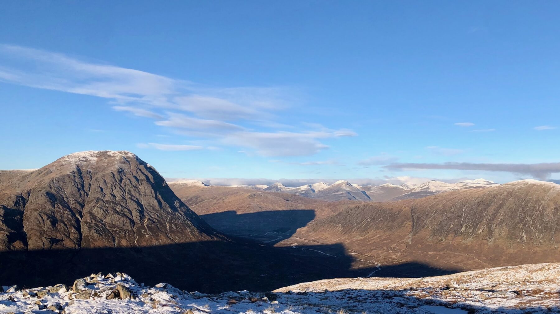
Buachaille Etive Mor on the left, Ben Nevis just clearing the clouds in the distance.
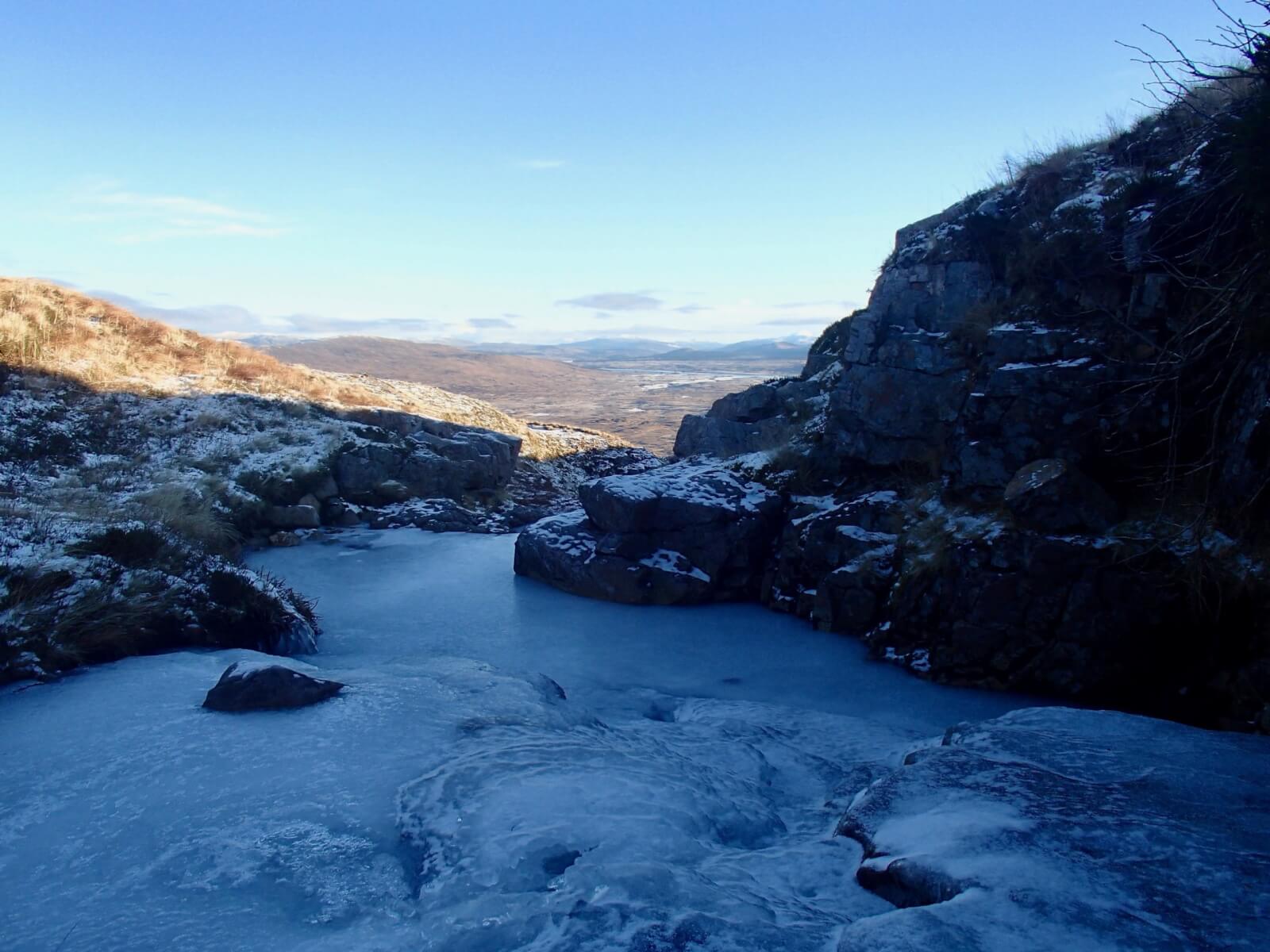
Most water courses are frozen. Looking Southwards over the Rannoch Moor.

The Aonach Eagach Ridge.

Stob Coire nan Lochan. Ribbons of old frozen snow in the back of some of the gully lines.

Taken from the head of Glen Coe looking westwards at Buachaillie Etive Mor and the Aonach Eagach Ridge on the right.
Comments on this post
Got something to say? Leave a comment


