Heavy Snow Showers….
27th December 2022
After a dry, cold night snow showers fell to lower levels (mainly above 100 metres), summit midday temperature was around minus three degrees Celsius with fresh to strong South-Easterly winds. Drifting snow at higher elevations was forming further accumulations of weakly bonded windslab in wind sheltered locations.
Tomorrow’s Avalanche Report 28/12/2022:- Overnight, unstable windslab will continue to develop and gain more depth affecting mostly steep locations, on North-West to North-East aspects above 800 metres. Gully tops, flanks and steep coire headwalls especially affected. West and East aspects also affected due to cross loading. Some partial consolidation of the snowpack is expected as milder conditions take affect but deep instabilities will persist. Cornices will be fragile. The avalanche hazard will be Considerable.

Snow lying on the main A82 Fort William to Glasgow road at around 300 metres this morning, much deeper accumulations at higher elevations.
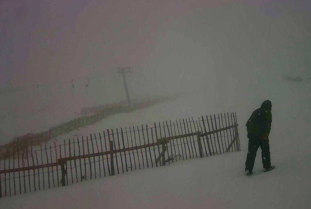
Poor visibility on Meall a’ Bhuiridh at around 700 metres not much to see above this level.

Two of the Three sisters of Glen Coe, Gearr Aonach on the left and Aonach Dubh on the right.
Comments on this post
Got something to say? Leave a comment


