Monochrome landscape after the thaw
28th December 2022
The freezing level fell during the morning to around 700 metres. It was a dry morning with some light showers falling as snow above 600 metres in the afternoon. The winds were fresh from the South-South-East.
Avalanche report for 29th December 2022: The snowpack will consolidate further as rain affects all locations before rain turns to snow showers. Accumulations of new poorly bonded windslab will develop in wind sheltered locations. Areas most affected will be sheltered gullies, gully exits and steep corrie rims mainly on North to Easterly aspects above 850 metres. Other aspects will gain a new cover of snow and localised new snow instabilities may be present on many steep slopes above 850 metres. The avalanche hazard will be Moderate.
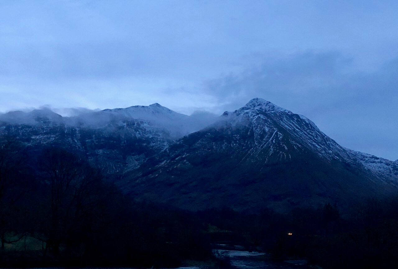
The summits of Stob Coire nan Lochan & Bidean just after first light this morning.

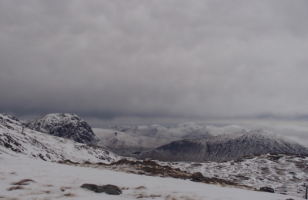
Looking northwards from near the summit of Meall a’ Bhuiridh. More snowy 13 miles inland from the coastal summits.
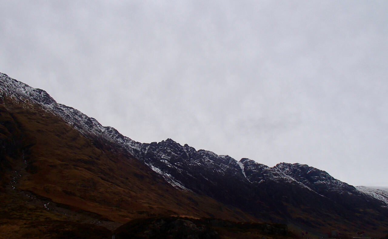
The Aonach Eagach Ridge.

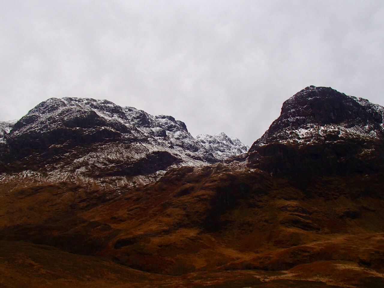
Diamond and Church Door buttresses and the West Summit of Bidean on the right.

Stob Coire nan Lochan looking wintry.
Beinn Fhada on the left and Gearr Aonach on the right.

Stob Dearg and Coire na Tulaich.

Meall a’ Bhuiridh on the left with Sron na Creise in the centre.

Buachaille Etive Mor.

North-Easterly aspect of Meall a’ Bhuiridh.
From Meall a’ Bhuiridh, Stob Dearg on the left with the Mamores and Nevis in the distance.
Comments on this post
Got something to say? Leave a comment


