Weak layer
2nd January 2023
It was slightly windier and there were a few more snow showers than forecast today. Localised areas of windslab were developing in wind sheltered locations. Although not extensive these areas of windslab were sitting on yesterday’s layer of soft snow. This provided a weak layer and the icy crust below this provided a good sliding surface.
The pictures below show signs of drifting and wind redistribution. It’s worth considering where the snow has gone as there’s likely to be windslab in sheltered locations.

Raised ski tracks. The soft snow was compacted by skis yesterday, the wind then picked up blowing away the soft snow and leaving the compacted snow.

Drifted snow in the lee of boulders.
The pictures below show the crown wall and debris from a skier triggered avalanche on a North-East aspect at around 950 metres.
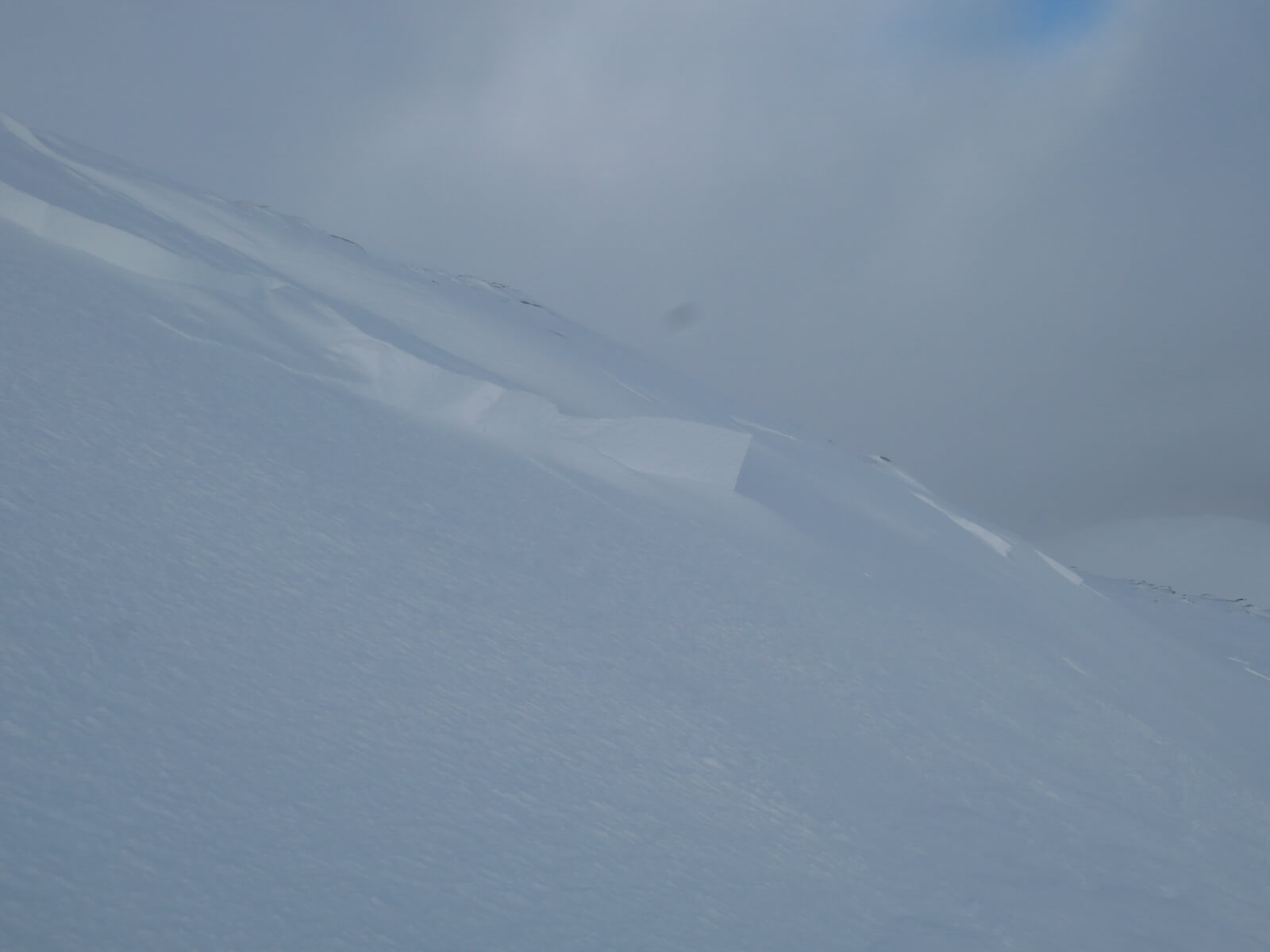
Crown wall 10 to 30cm high.

The slab slid rather than tumbled so the debris mostly remained as broken bits of slab.
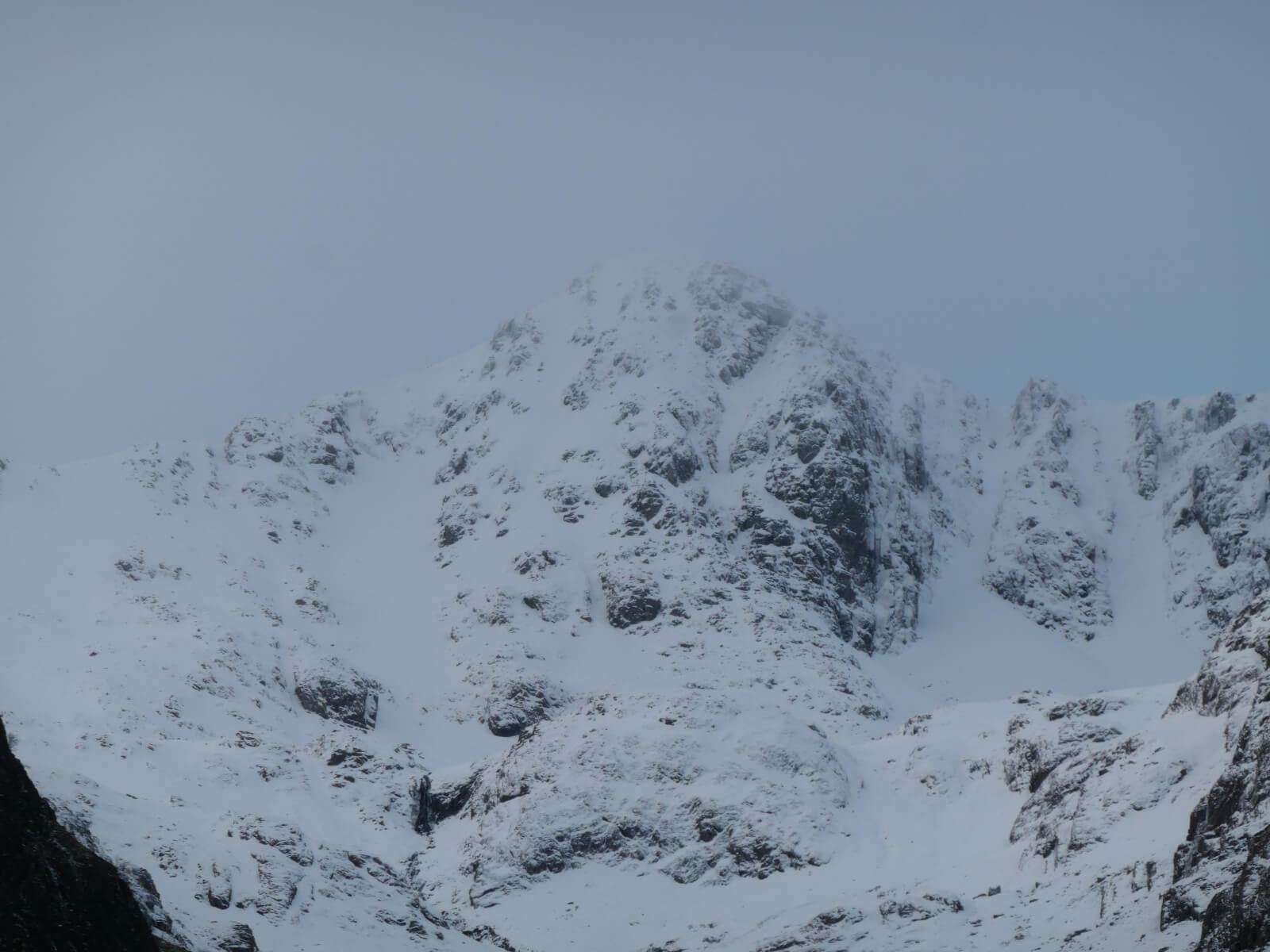
A couple of views from the roadside below.

Buachaille Etive Mor
Stob Coire nan Lochan
Comments on this post
Got something to say? Leave a comment


