The thaw continues
3rd February 2023
Another day of thaw conditions in Glencoe. There was a brief colder spell over night when the freezing level fell to around 900 metres. The freezing level is now above all summits again with drizzle and strong winds. The snowpack is well consolidated and continues to gradually thaw in the mild conditions. At higher altitudes the snowpack was firm underfoot despite the mild conditions. Greatest accumulations of snow remain in North to East facing corries and gullies above 850 metres. The day will start mild tomorrow, the freezing level will then fall during afternoon with a rain turning to snow down to around 600 metres. A colder day is in prospect for Sunday.
Good cover still remains in some locations. This is the Spring run in Glencoe ski area,, which is a North-East aspect at around 950 metres.

Not much to see at the summit of Meall a Bhuiridh today. This is a South aspect which is holding a lot less snow.

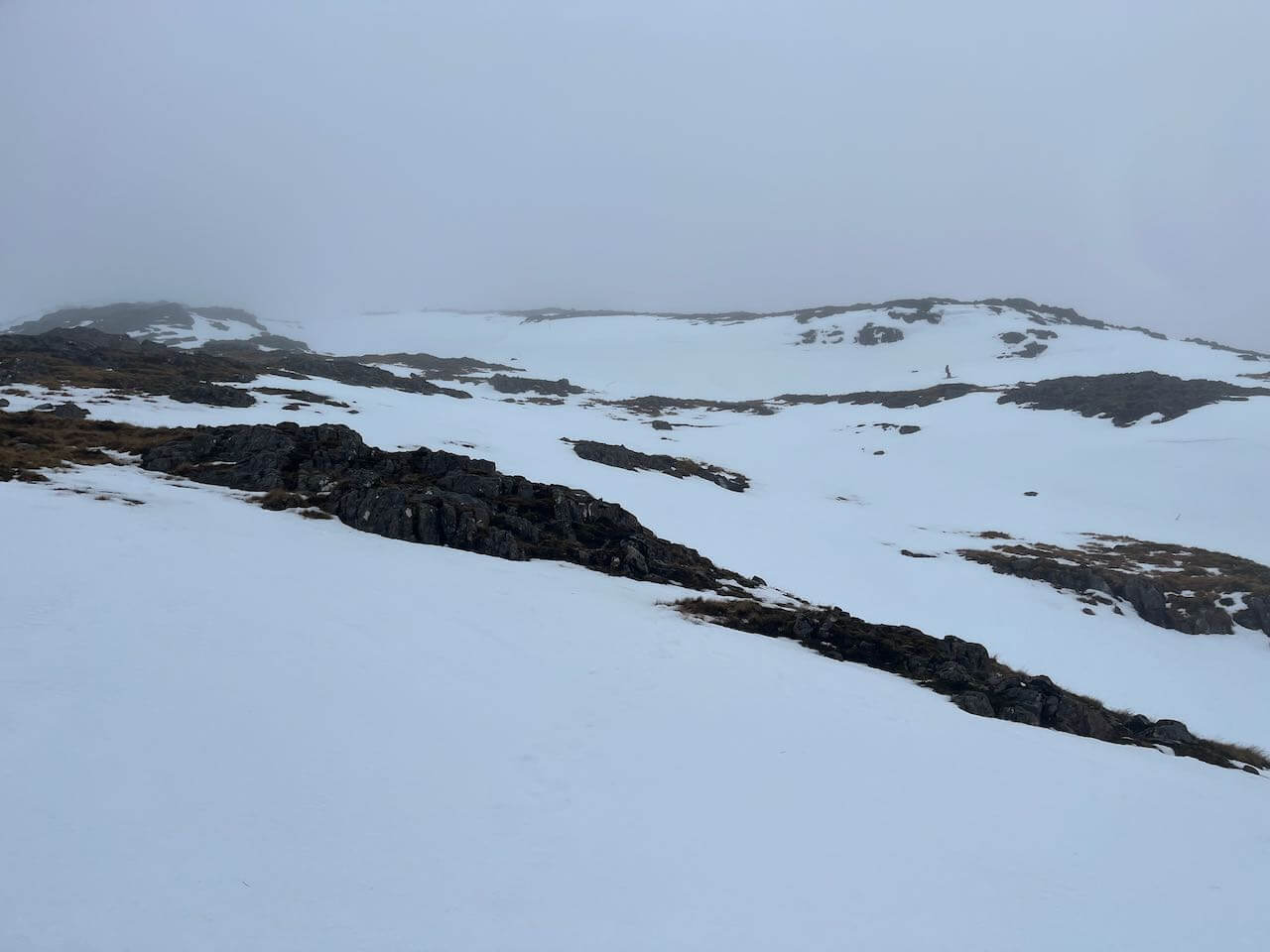
Buachaille Etive Mor

Stob Coire Nan Lochan disaapearing into the clouds. Gullies still holding plenty snow.
Comments on this post
Got something to say? Leave a comment


