Windy again.
8th February 2023
Strong to gale South-Westerlies have affected the area. It remained mainly dry for a large part of the day. Cooler conditions overnight firmed up much of the existing snowpack which is now mainly to be found in the higher Northerly and Easterly corries and gullies.
New snow is expected later on Wednesday and then showery overnight and on Thursday, this will be driven on by a strong to gale force generally Westerly airflow. Unstable windslab will form in wind sheltered areas mainly where older firm snow exists. Fragile cornices will form and affect some of these areas. The old snow where exposed will be firm and icy with serious slip potential.
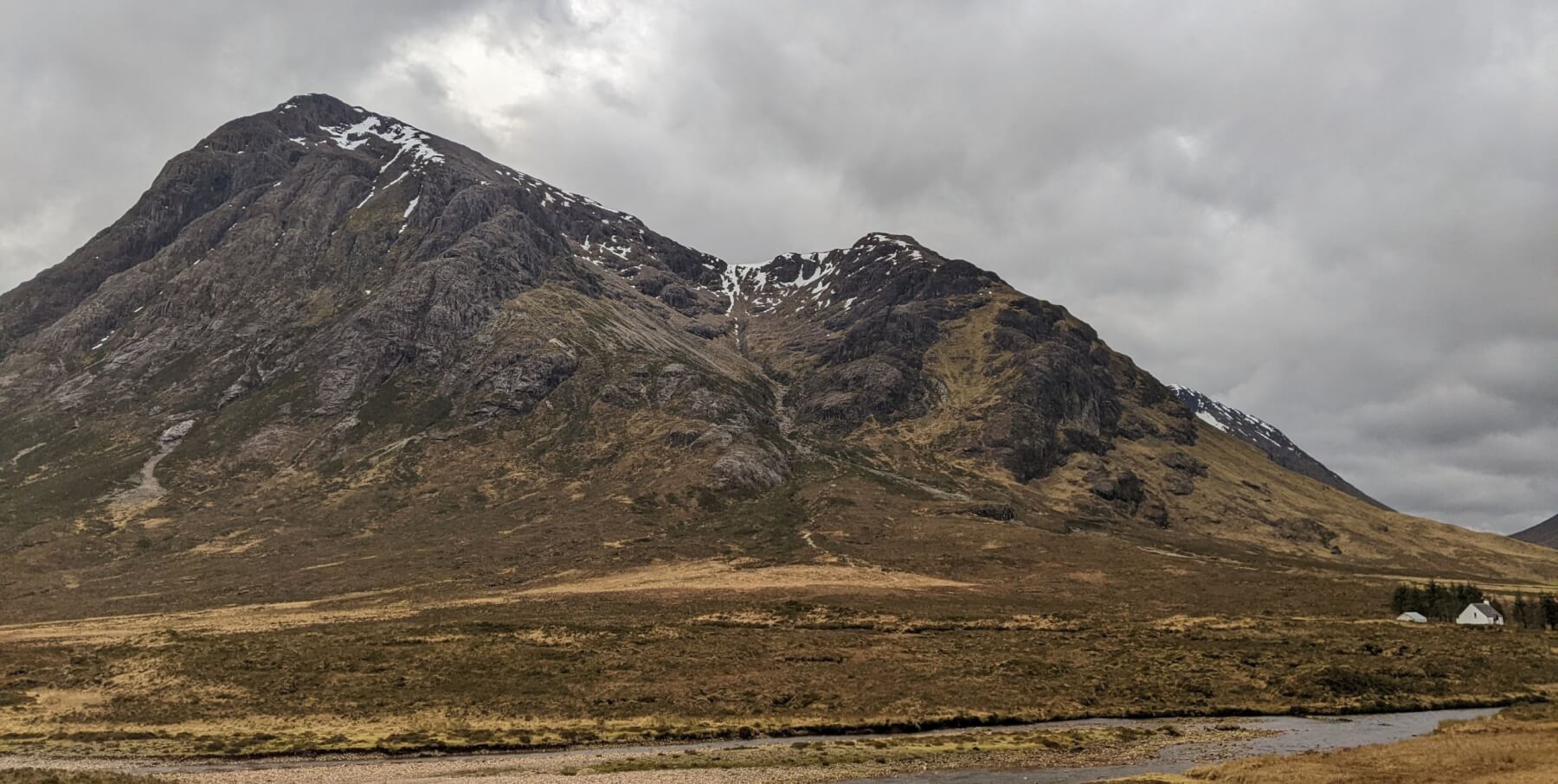
Stob Dearg Buachaille Etive Mor
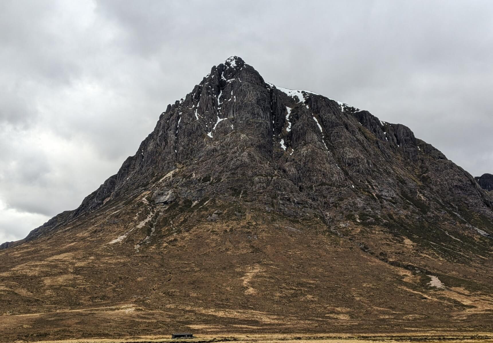
Stob Dearg Buachaille Etive Mor

Criese
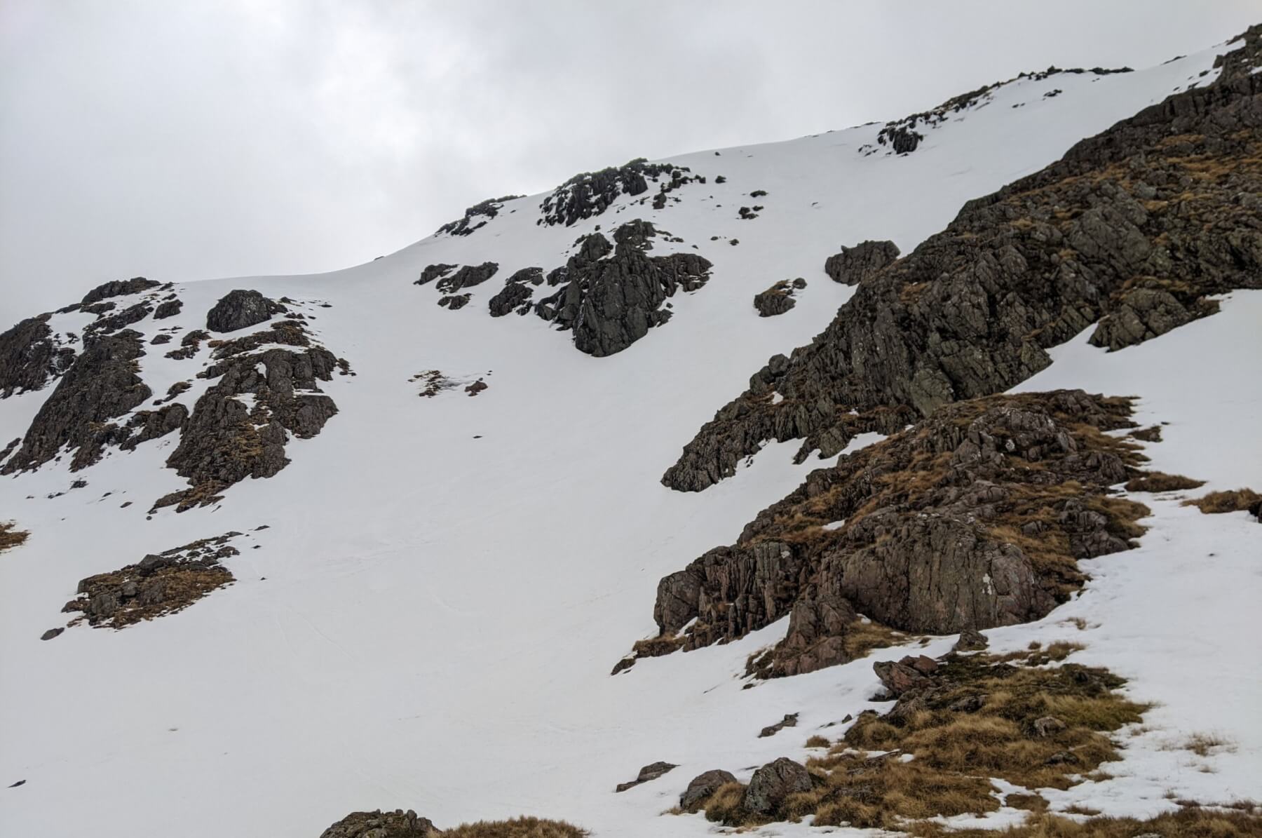
North Easterly aspects of Meall a Bhuiridh.
North Easterly aspects of Meall a Bhuiridh.

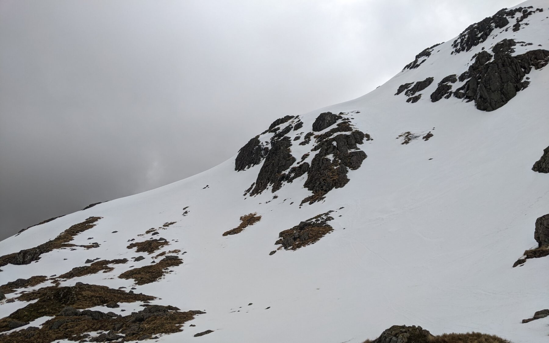
Stob Coire nam Beith
.
Comments on this post
Got something to say? Leave a comment


