Return to colder conditions with new snow
13th March 2023
The freezing level was above the summits overnight with sleet and wet snow affecting the higher tops, a return to colder conditions this morning has given a general cover of new snow above 400 metres.
A windy evening is forecast with Northerly gales and some new snow. The strong winds will redistribute snow onto sheltered aspects where unstable windslab and fragile cornices will form. Becoming less windy by daytime.
Another poor day for photos.
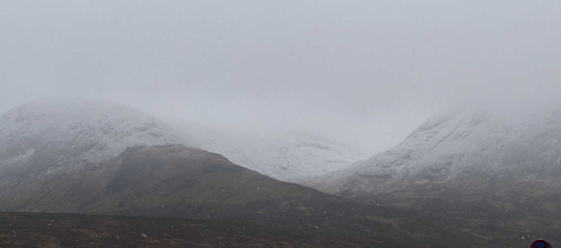
Meall a Bhuiridh left Creise right

North Easterly aspects Meall a Bhuiridh.

Stob a Ghlais Coire.

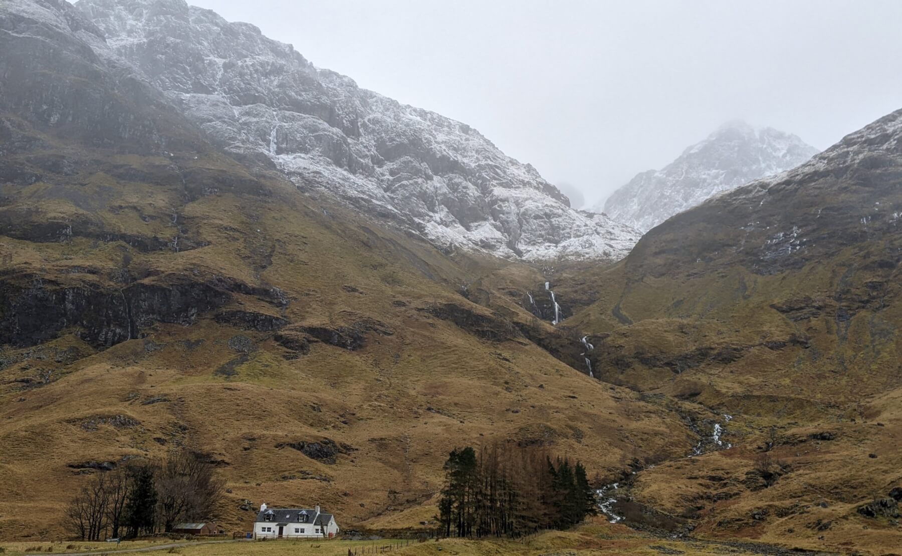
Buachaille Etive Mor.
West face of Aonach Dubh left.

Aonach Eagach.
Comments on this post
Got something to say? Leave a comment


