A mirage and a temperature inversion
11th January 2024
There were clear skies and light winds today. Little change in the very firm and stable snowpack.
There was also a temperature inversion with a high layer of warm air dropping to below summit level with cold air remaining below. At midday the temperature at 1100 metres was plus 4 degrees Celsius and at 300 metres only minus 1. The inversion was causing refraction of light resulting in the mirage in the picture of the Skye Cuillin below.
Visibility was good so some pictures of more distant mountains first followed by some of the Glencoe mountains.

A mirage of the Cuillin Ridge, Skye.

Rannoch Moor and beyond.

Ben Nevis (covered by the Lochaber avalanche forecast).
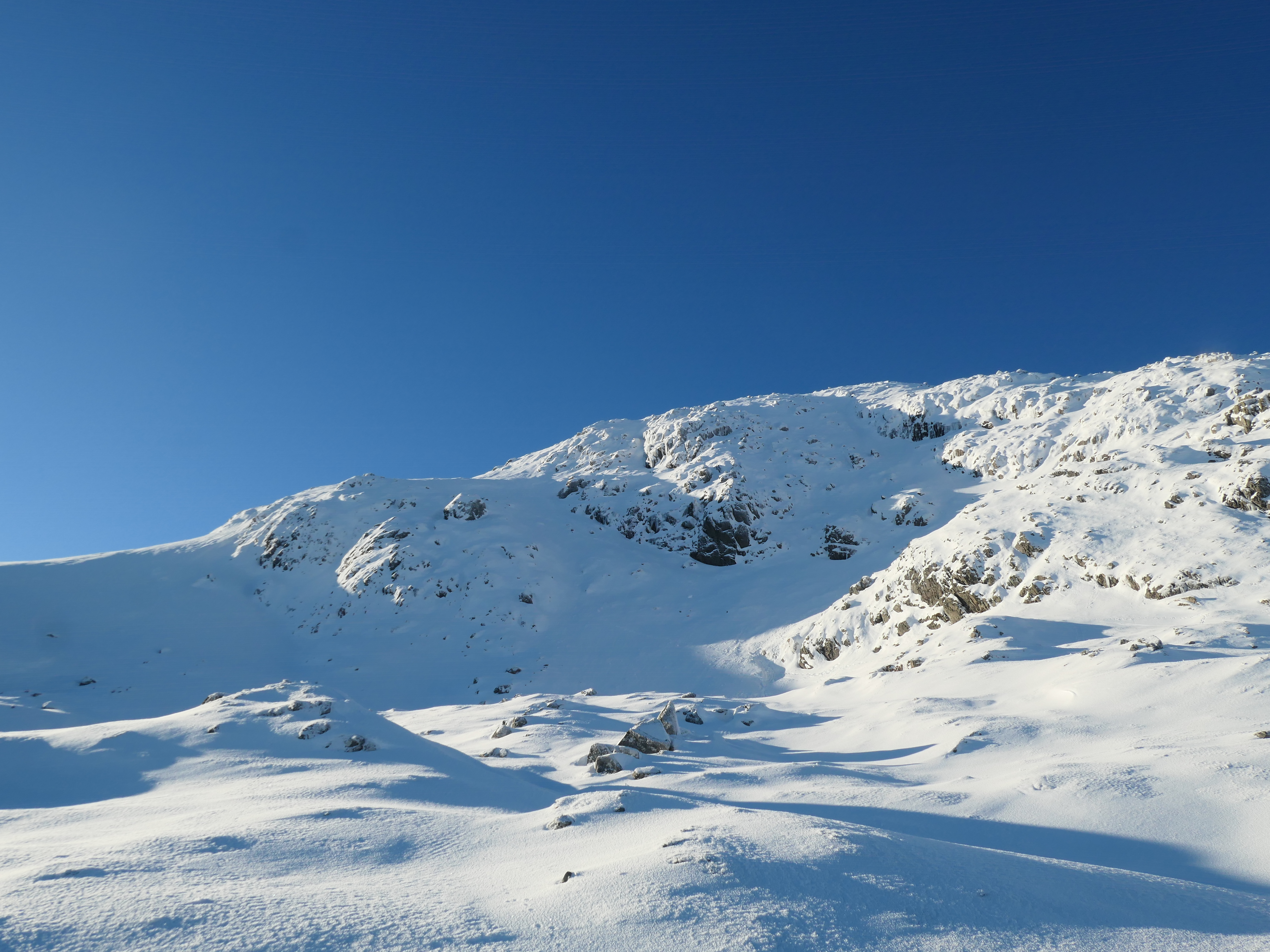
The East ridge and East face of Meall a’ Bhuiridh.

Bidean Nam Bian and Stob Coire nan Lochan over the summit ridge of Creise.

Watercourses have gradually become frozen over the last few days.

Aonach Eagach

Looks like a fun vehicle for snowy hills!
Comments on this post
Got something to say? Leave a comment


Shaun
11th January 2024 9:37 pm
The first photo looks like monument valley.