Black Body Cooling
29th January 2024
The weather today was a complete contrast to that of yesterday. It was calm and settled day with some hazy high cloud. The surface of the snowpack is frozen hard. At 900m the air temperature was about -1°C. The snow surface temperature was about -4°C, I am not sure but suspect that minimum overnight air temperature was about -2°C or -3°C. When I started as an avalanche forecaster (a good few years ago now) I remember on numerous occasion noticing but being unable to explain why the snow surface temperature was significantly lower than the previous night minimum air temperature.
I then realised I had it the wrong way round, I had assumed that the air cooled the snow, but in actual fact in those circumstances it was the other way round, the snow cooled the air. So then then begs the question, what cools the snow? Well everything is giving off blackbody radiation all the time. For object in the thousands of degrees this radiation is in the visible spectrum, very hot things shine or glow. Objects at lower temperatures also do this, but they emit in the infrared (longer wavelength radiation), and although our eyes can’t see this, the process is still happening. Air is pretty transparent to this longer wavelength radiation (not totally transparent, particularly certain gases such as CO2) while clouds and water vapour are not transparent to this radiation. On a clear night the there is nothing stop the blackbody radiation coming off the surface of the ground/snowpack escaping into space, and with all that energy escaping the surface of the snowpack cools down, which then cools the layers of air near the surface.
Snow is also good at insulating itself due the high air content even in dense snow, I would estimate that even the hard and denser snowpack of today would have of the order of 50% air. While the surface of the snowpack was cool, around -4°C at the depth of 10cm the snow temperature was 0°C. The surface of the ground cools more slowly, and where measured close by, the ground surface was a mere -1°C.
That is probably enough physics for one blog post, but in summary, it was a nice day, not too cold, but the snowpack is very hard and icy. Similar condition expected tomorrow.
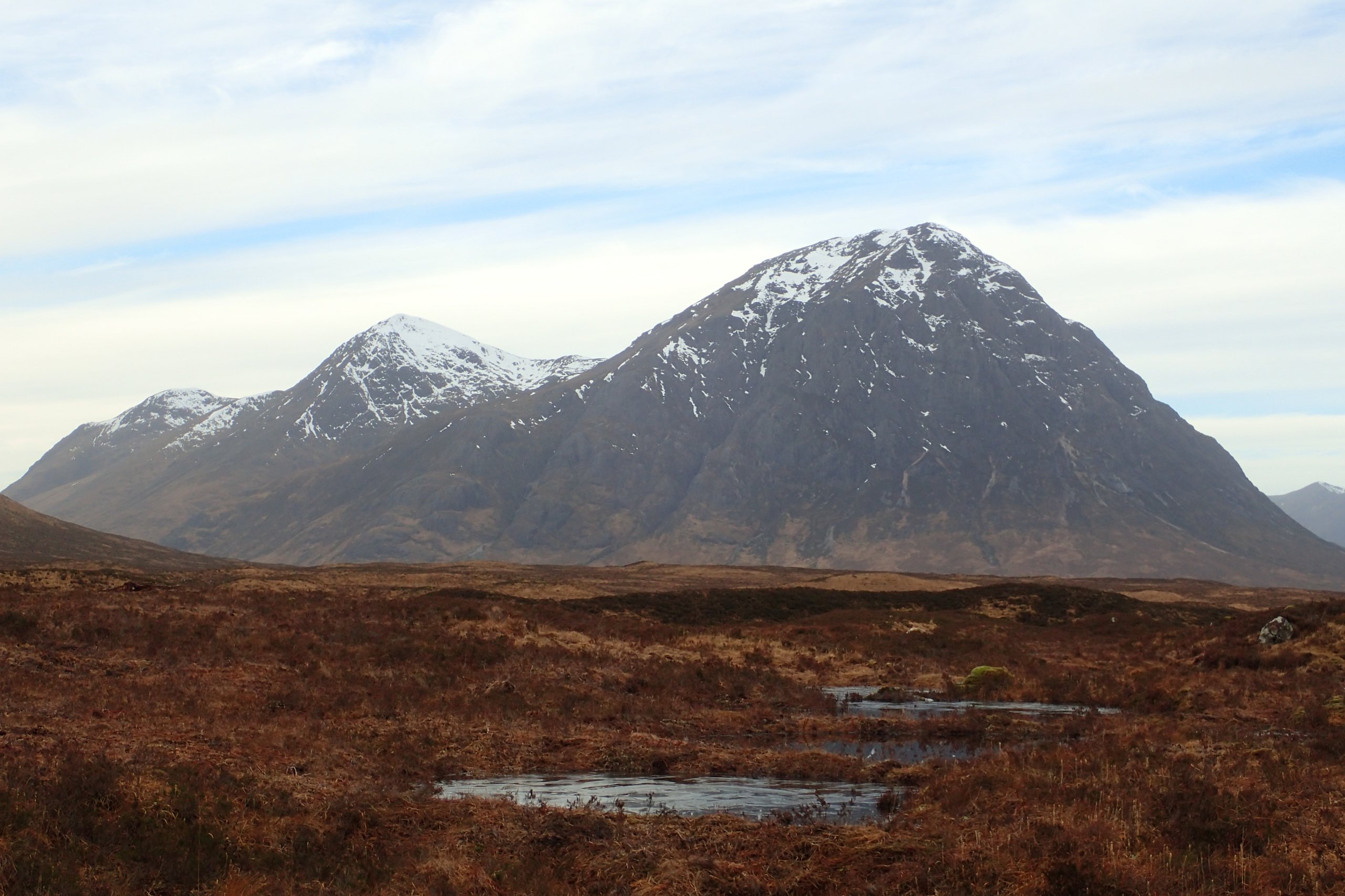
Buachaille Etive Mor
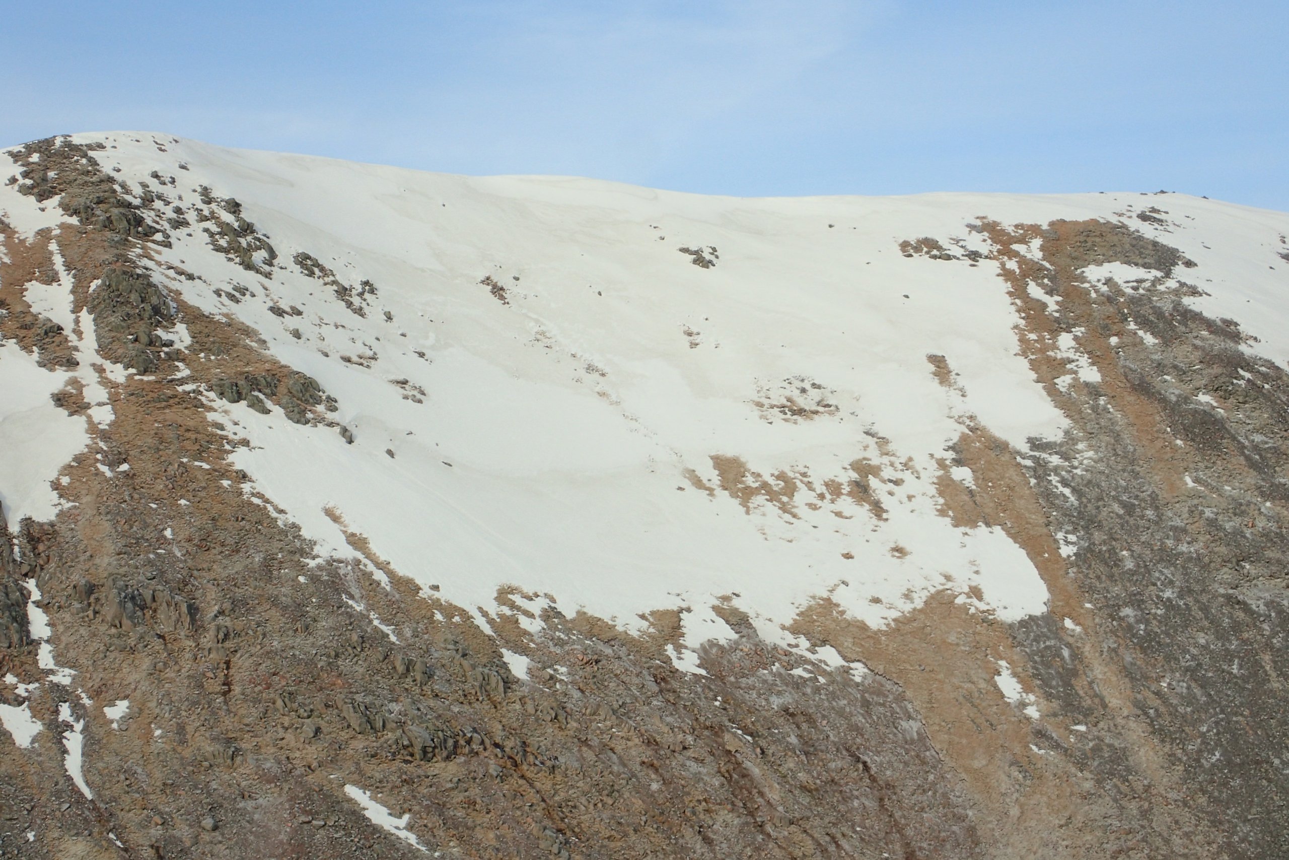
Snow on the East side of Criese. Different shades of snow can be seen, the whiter cleaner looking snow few on Friday, the slightly dirtier snow would have been from a week or so.
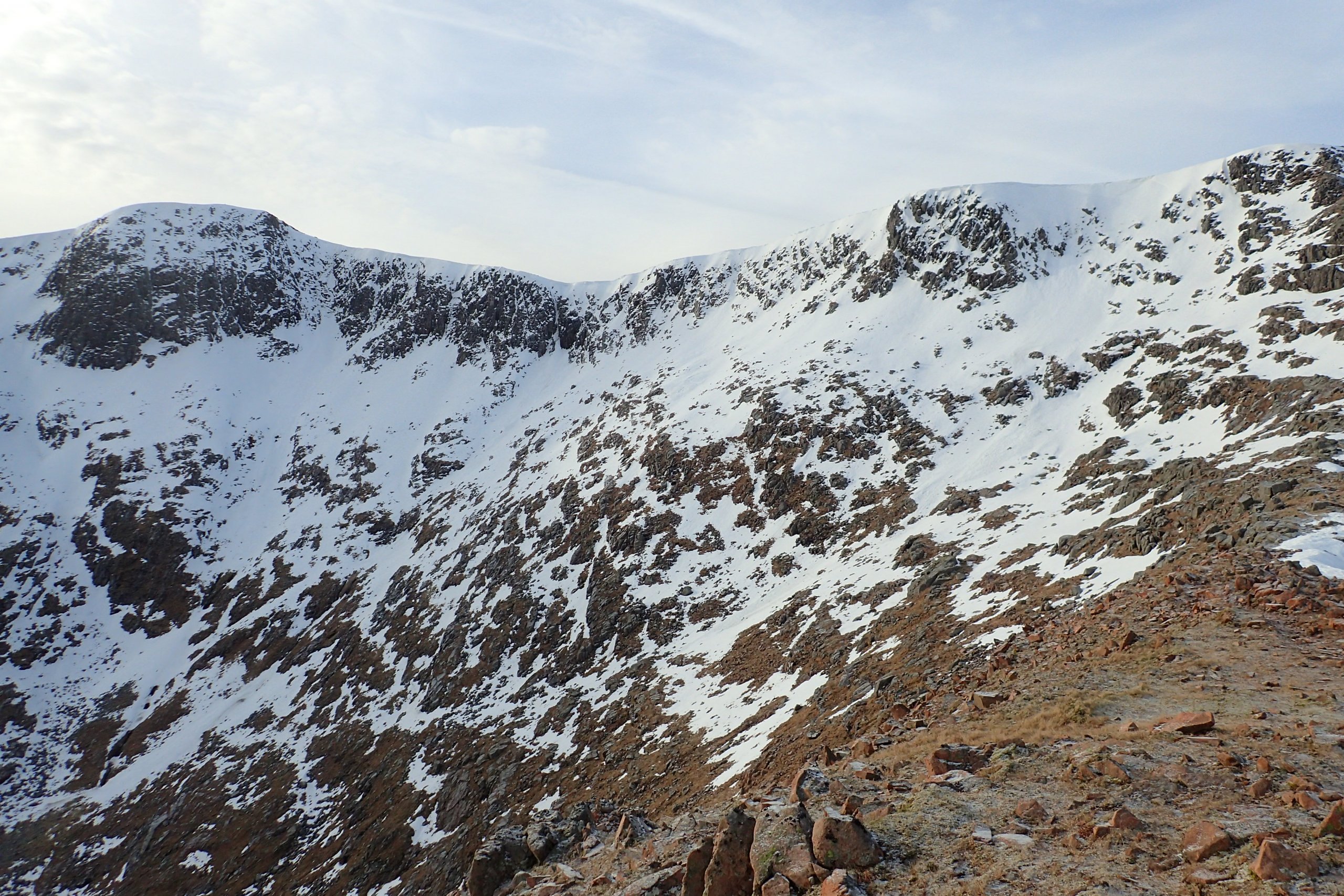
Looking over to Clach Leathad. Hard to make out in the photo, but from this location some evidence of avalanche activity could be seen. This was likely from the warm up Friday night.
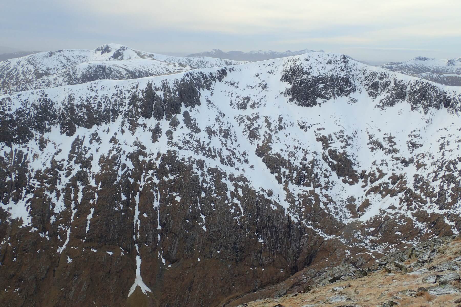
Clach Leathad and Stob Ghabher behind.
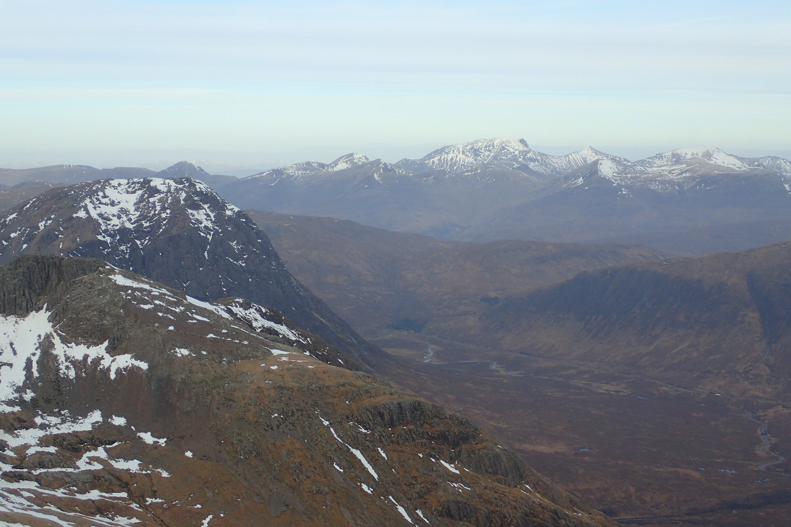
Looking North towards Ben Nevis and the Lochaber hills.
Comments on this post
Got something to say? Leave a comment