Milder South-Westerly airflow dominates…..
19th January 2024
The freezing level has slowly risen over the last 12 hours from -7 degrees celsius at 1050 metres to -1.7 degrees celsius at midday. Scattered showers fell as snow initially above 450 metres then mainly above 550 metres. Strong winds were South-Westerly touching gale force at times in exposed places. The freezing level was around 550 metres and a slow thaw is taking place below 450 metres. Tomorrow the weather looks set to be much milder with stronger winds which will exacerbate the situation.
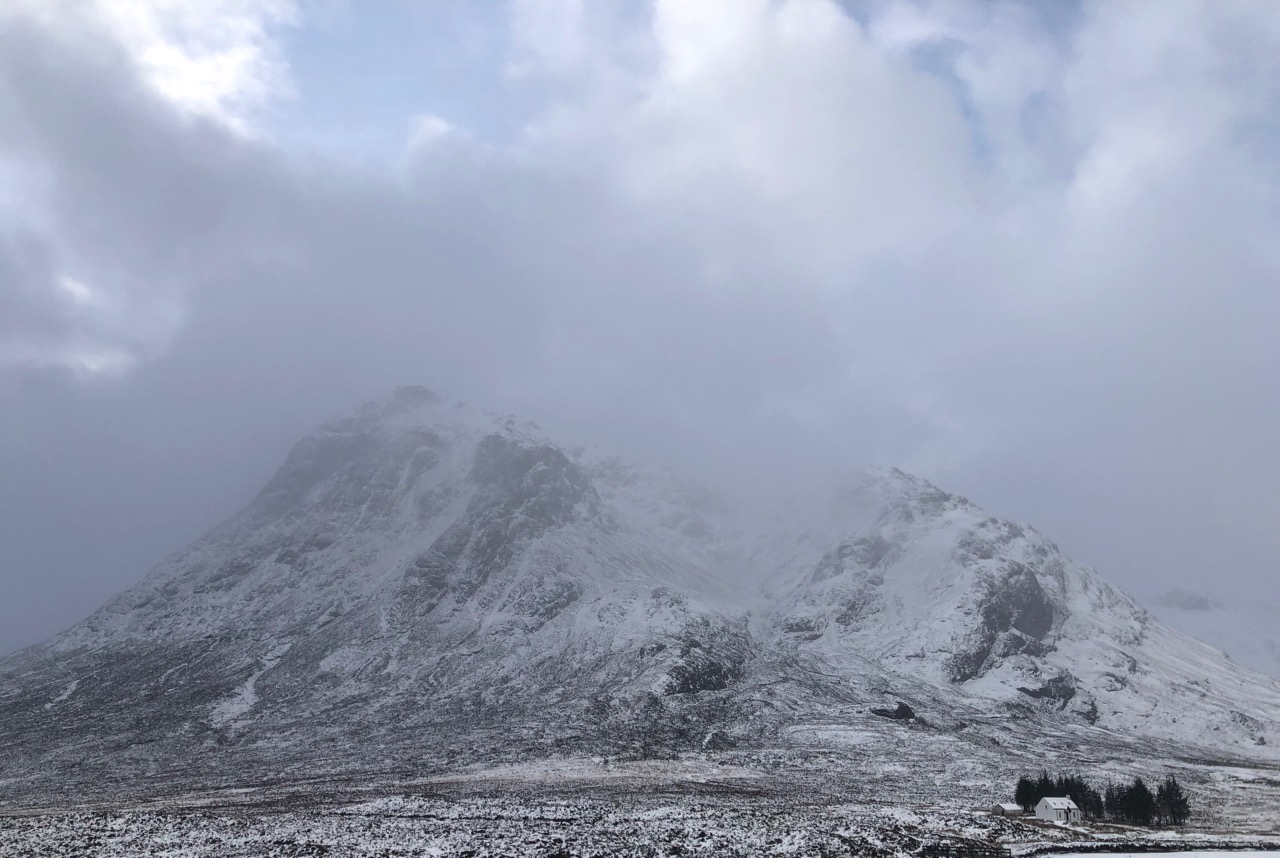
This is as good as it got regarding visibility, Stob Dearg and Coire na Tulaich from Altnafeadh.

Northerly aspect of Stob Dearg.

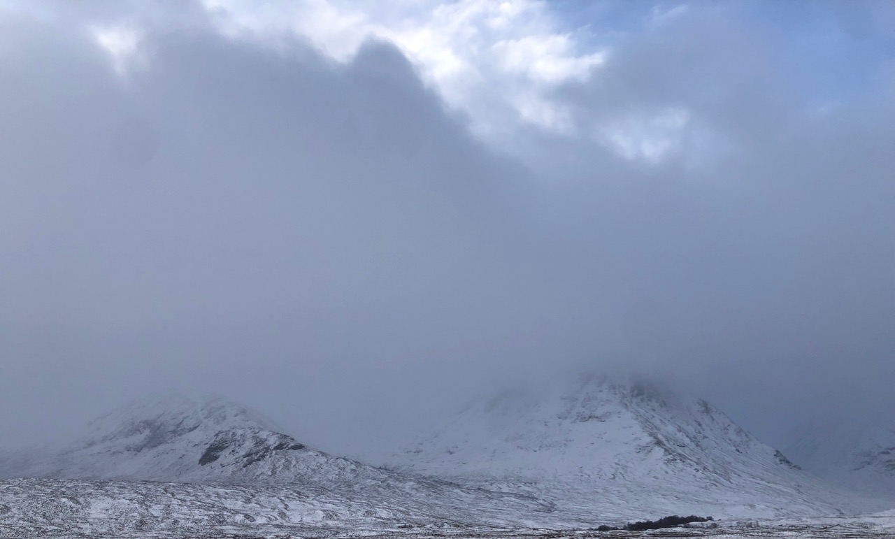
Stormy conditions seen here on Buachaille Etive Mor and the darker clouds further down the glen.
Meall a’ Bhuiridh completely engulfed by blizzard conditions Sron na Creise on the right.

Stob na Cabar – Buachaille Etive Beag in the foreground with the 3 sisters beyond.

The 3 Siter’s of Glen Coe – Stob Coire nan Lochan nearly visible.

We might near these web feet tomorrow as the freezing level rises above the summits accompanied by rain and thaw conditions.
Comments on this post
Got something to say? Leave a comment