Sunshine and Snow
26th January 2024
It was quite a different day today as compared to yesterday. After some snow overnight, it was a day of strong winds, sunshine and blustery showers. The freezing level dropped to around 400 metres this morning before rising back up the hill through the day.
It was one of those days where the avalanche hazard was right on the boundary of Moderate and Considerable. The fresh windslab itself is poorly bonded, with a slightly denser layer of slab sitting on top of a softer layer. However, there was just not that much off it, the areas of unstable windslab were just not that big or extensive. After a fair bit of discussion with the forecaster in other areas, I came to the conclusion there was just enough to push it the hazard into the considerable level here (as did Lochaber). Further East at Creag Meagaidh there sounds like there was slightly less fresh snow, and the hazard was at the upper end of Moderate hazard level.
It also feels quite borderline for tomorrow. Sometimes the avalanche problem and hazard level is quite clear cut even if there is some uncertainty in the weather forecast (and weather, particularly mountain weather is so complex that there is always at least some level of uncertainty in the weather forecasts we use). However, sometimes this uncertainty is not an issue. If it is cold and the summit temperature is forecast to be well below freezing, then a degree warmer or colder than expected is unlikely to significantly affect what is happening to the snowpack. The same applies if it is very mild with a summit temperature forecast to be well above freezing.
However, if the summit temperature is forecast to be around freezing, and it turns about to be a degree or two warmer or colder than this, then this is likely to have a significant effect on what the snowpack is doing at these higher levels. Something similar applies for precipitation, very little or lots of precipitation in the weather forecast generally makes things easier in terms of avalanche forecasting, a middle amount of precipitation tends to make it tricker.
The weather forecast for tomorrow is one of those tricky one with the freezing level around or just above the summits and with some, but not a huge amount, of precipitation. A bit milder, and there would be a wet snow hazard, a bit colder and fresh windslab hazard, a bit more precipitation and it would be a considerable hazard, a bit less and it would be a moderate hazard. Again this was something I have just been discussing with other forecasters, and again myself and Lochaber went for a Considerable, while Creag Meagaidh having slightly less snow have gone for Moderate.
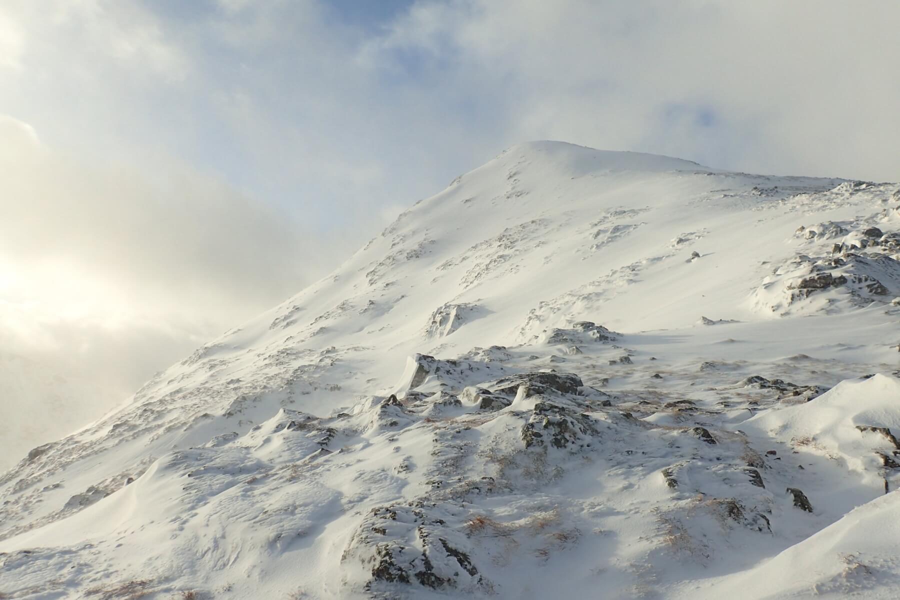
Looking up to point 902m on Buachaille Etive Beag.
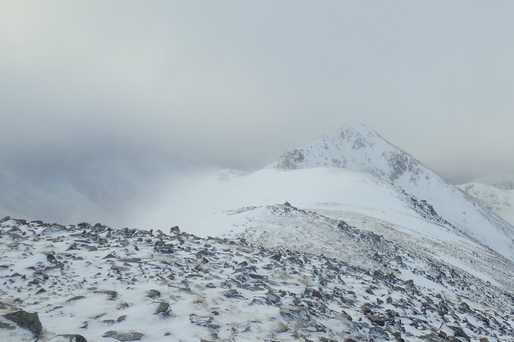
Looking along the ridge to Stob Dubh. Plenty of drifting onto the left side of the ridge in the strong winds.
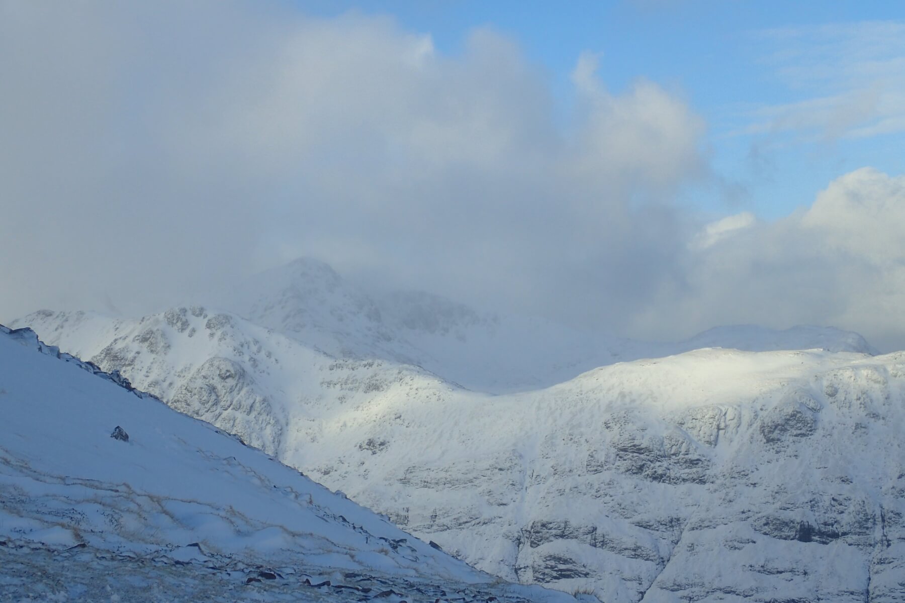
The view over to Stob Coire nan Lochan.
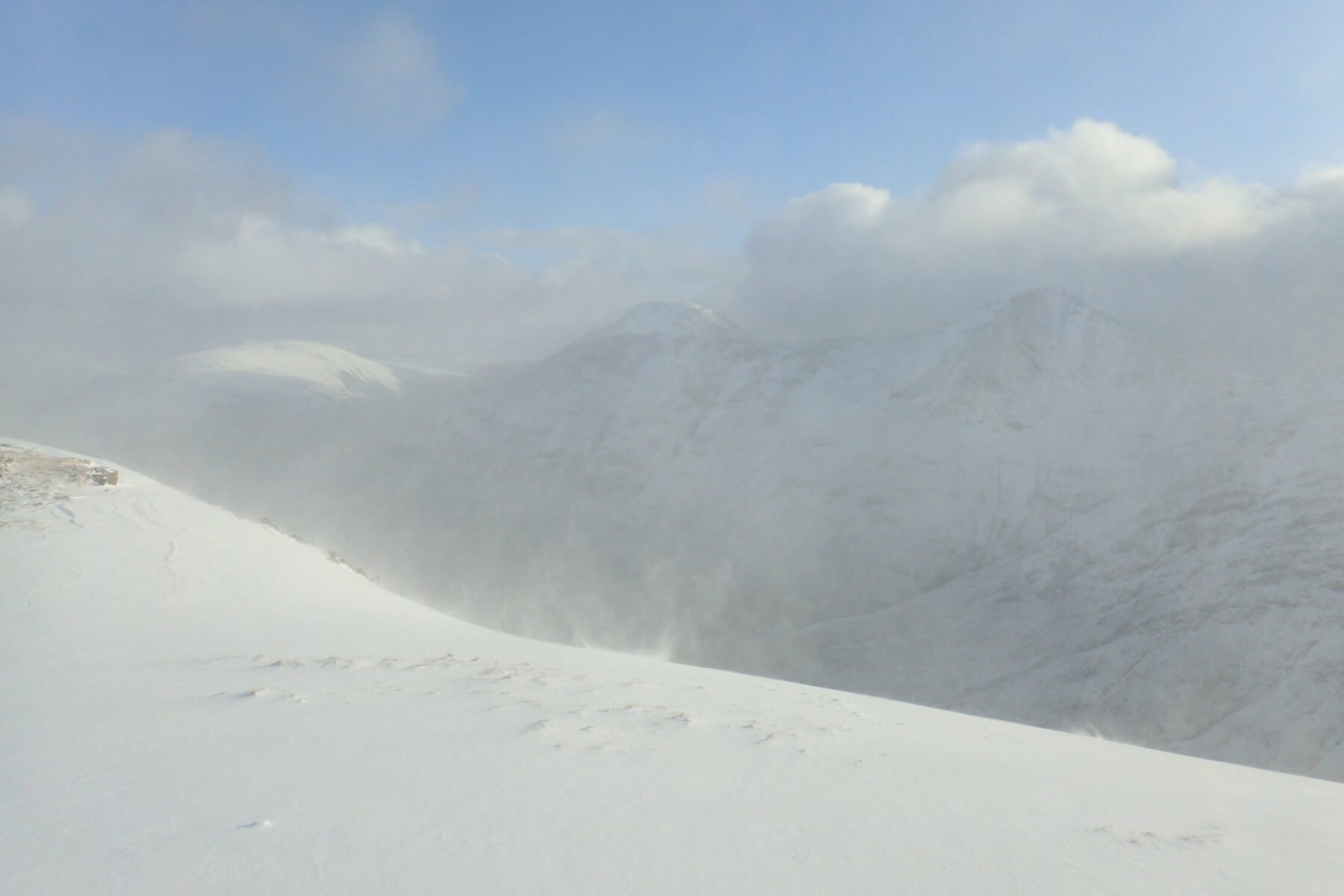
Looking East towards Stob Dearg on Buachaille Etive Mor. All a bit hazy due to the amount of snow being blown into the atmosphere with the strong winds.
Comments on this post
Got something to say? Leave a comment