A bit dreich and windy.
4th February 2024
The freezing level has slowly risen to around 1100 metres by midday. Winds were very strong West-South-Westerly and precipitation fell as snow showers at first above 850 metres. New snow amounts were slightly more than forecast which has increased the avalanche hazard in localised locations. Poor visibility above 600 metres with very limited views particularly in the driving snow showers so a bit dreich! Freezing was rising through the day and snow turned to sleet then rain.
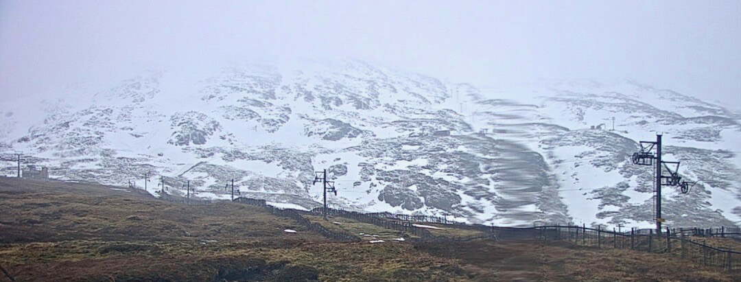
Meall a’ Bhuiridh at midday today taken from around 630 metres. Meall a’ Bhuiridh is situated more inland and further east of some of the other Glen Coe and tends to hold more snow.
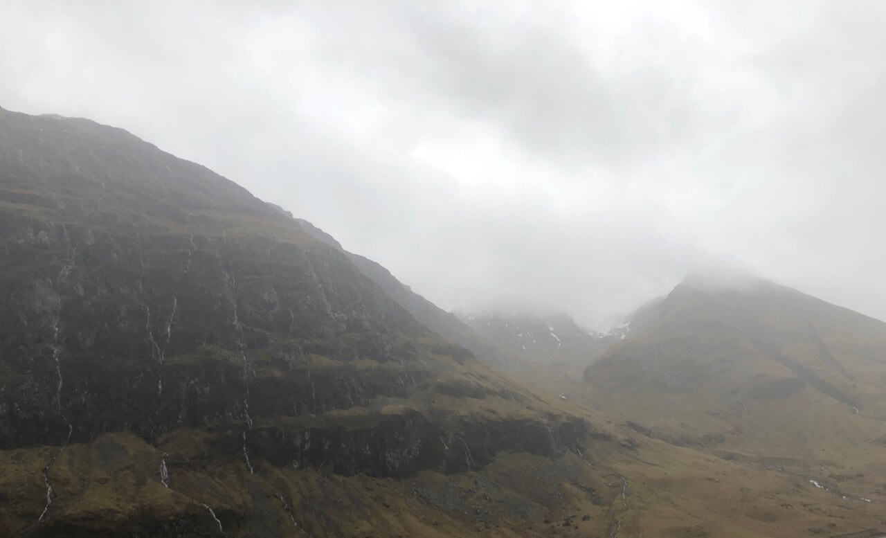
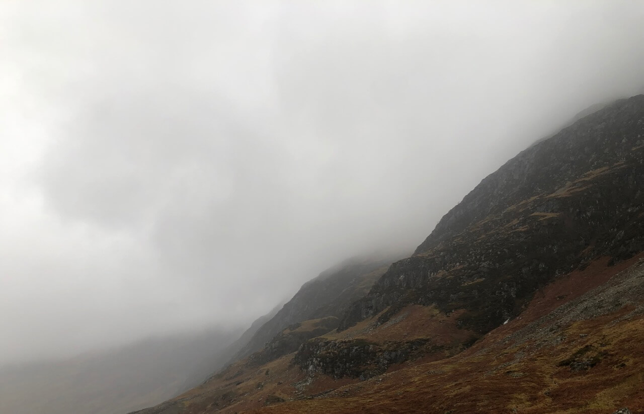
In contrast to the above photo this is looking into Stob Coire nam Beith the more western, further west and closer to the sea. Note the rivulets on rain and snow melt coming off the hills.
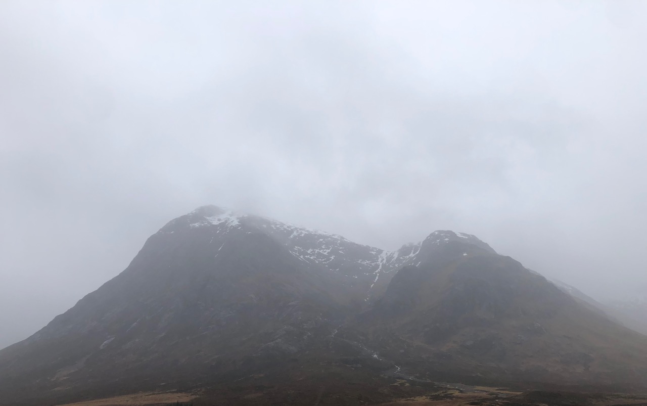
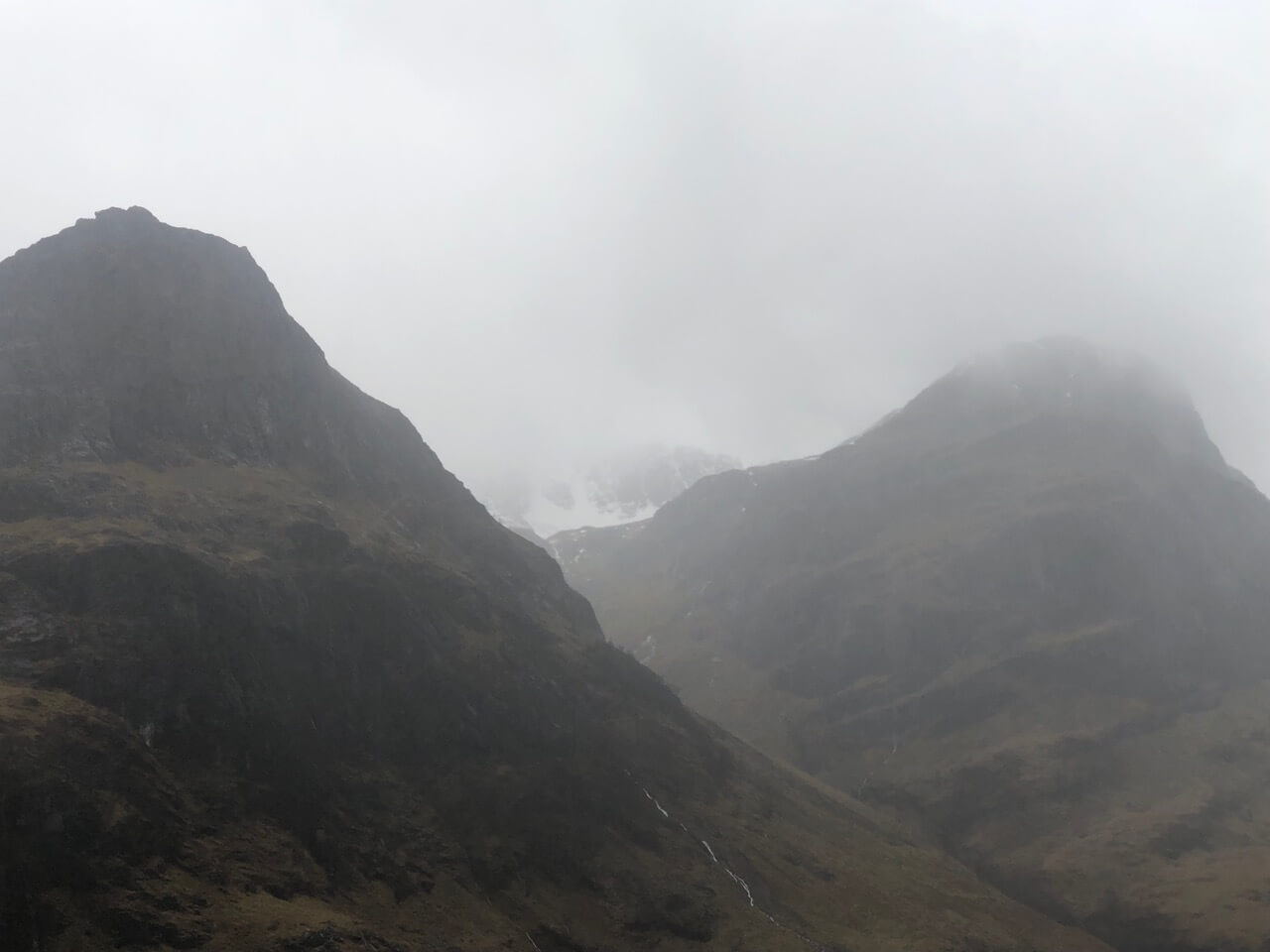
Stob Dearg and Coire na Tulaich.
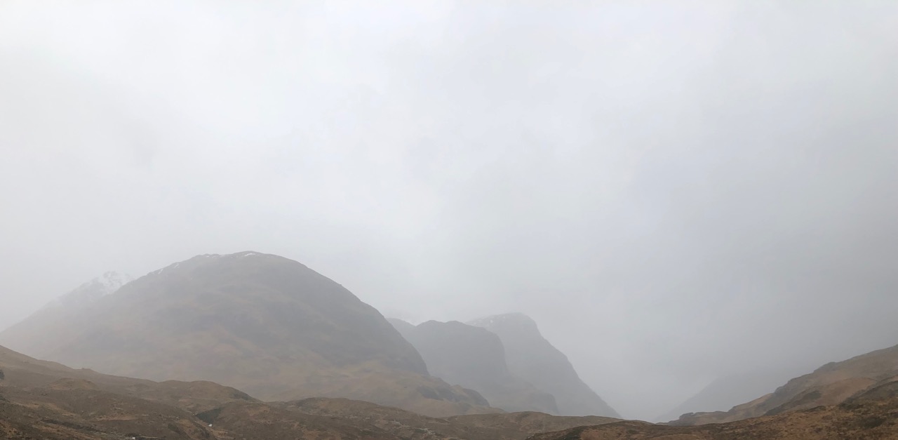
The gloomy sisters of Glen Coe.
Looking into Stob Coire nan Lochan which was quite busy with mountaineers today.
The southerly aspect of the Aonach Eagach ridge.

Some folks enjoying the large amounts of rain and snow melt on the river Coe.
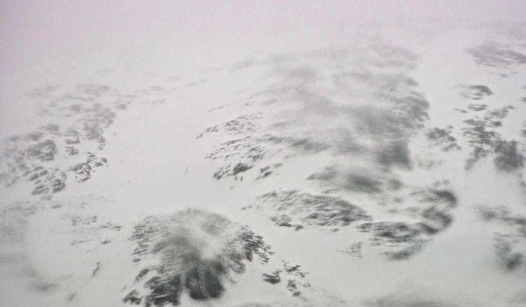
Spot the winter skills group on Meall a’ Bhuiridh.
Comments on this post
Got something to say? Leave a comment


