How Much and for How Long?
23rd February 2024
Listening to the rain overnight from the house it was evident that further snow was falling up the ‘Glen’, wondering how much and for how long? Checking the met radar this morning it confirmed the period of showers until about 11pm ish drying out mainly from then. The winds have continued to be South-Westerly, moderating slightly. Heading out it has been a brighter day though cloudy around some summits, isolated snow showers and even some blue skies and sunshine.
Getting above 800 metres skinning up towards the summit it was obvious that there was a lot more snow about. Areas of old hard snow were far fewer, mostly covered by soft snow or patches of wind blown sastrugi. Drifts were bigger both in depth and area but still localised in nature. Windslab persisted in sheltered locations. Whilst both travelling around and investigating this windslab, it was poorly bonded but limited in distribution, something of note. From the summit, views across to Creise and Clach Leathad confirmed the limited distribution across mountain sides.
With drier and more settled but cold conditions forecast, the coming period will remain similar with poorly bonded unstable slab persisting, localised around coire rims, head walls, gullies and aprons. It will remain wintery with frosts and light winds.
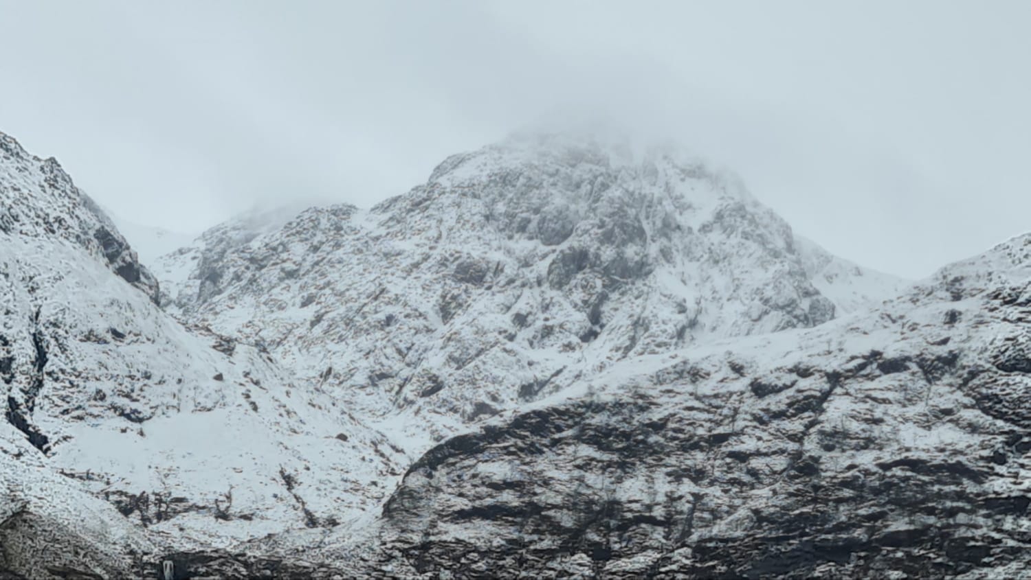
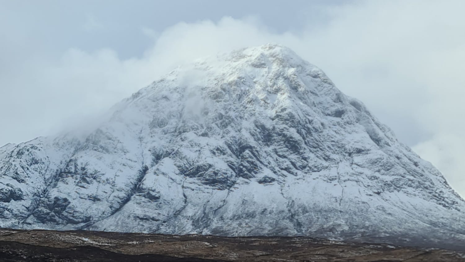
Views this morning up to, Stob Coire nam Beith.
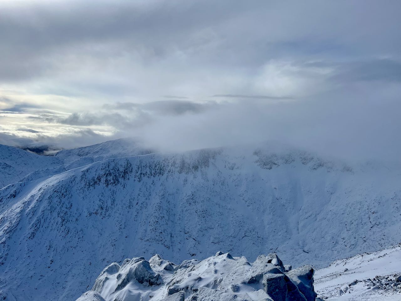
Looking across to Clach Leathad, only localised accumulations around the corie rim, in the gullies and immediately below the crags on the steep aprons. Cornices.
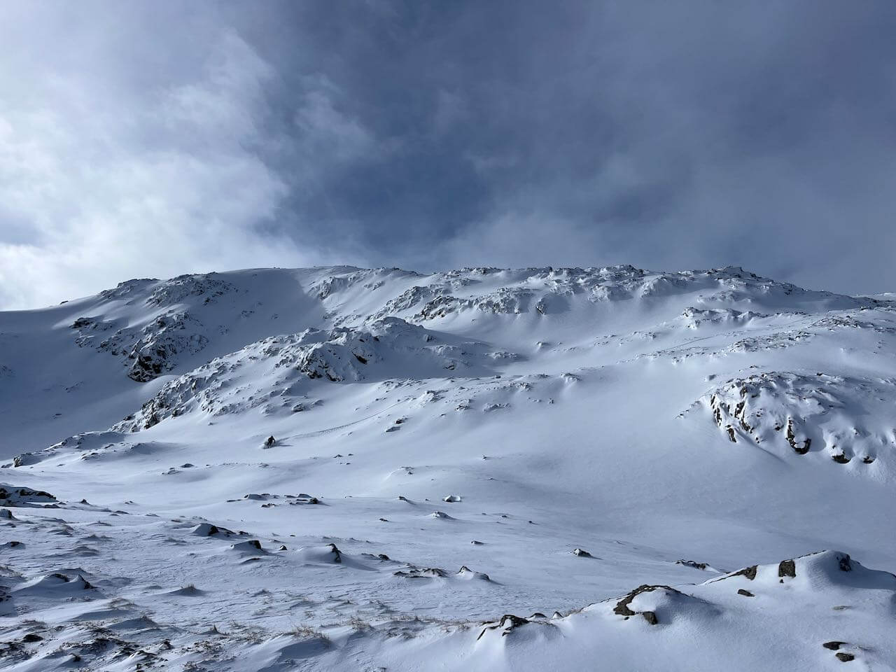
North-East aspects on Meall a Bhuiridh.
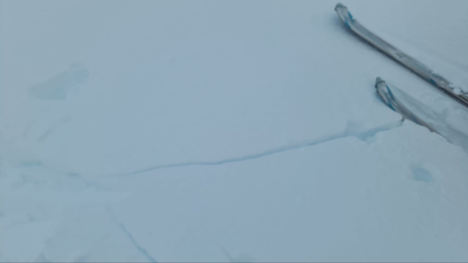
Poorly bonded windslab above 850 metres in localised wind sheltered locations.
Still looking wintery.
Comments on this post
Got something to say? Leave a comment


