New snow and strong winds
12th February 2024
New snow has been affecting the area becoming heavier as the day progresses. Wind transport of new snow and existing snow is forming areas of unstable windslab in sheltered gullies and steep scarp slopes(see Avalanche report for details) Stormy outlook overnight and on Tuesday morning will further load affected areas.

West Face Aonach Dubh.

Stob Dearg, Buachaille Etive Mor.

Sunshine and showers in the morning gave some drifting onto North to Easterly aspects. Heavier snow showers later further affected these areas.
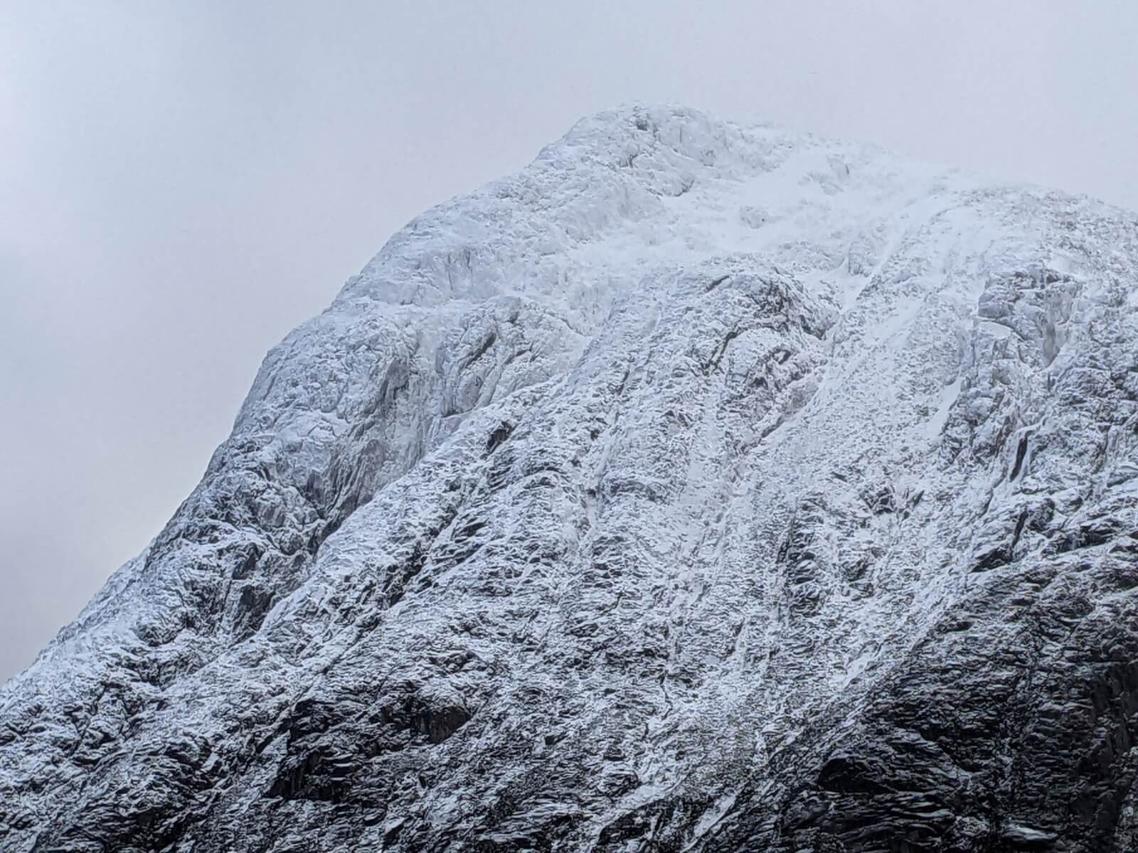
Stob Dearg, Buachaille Etive Mor.
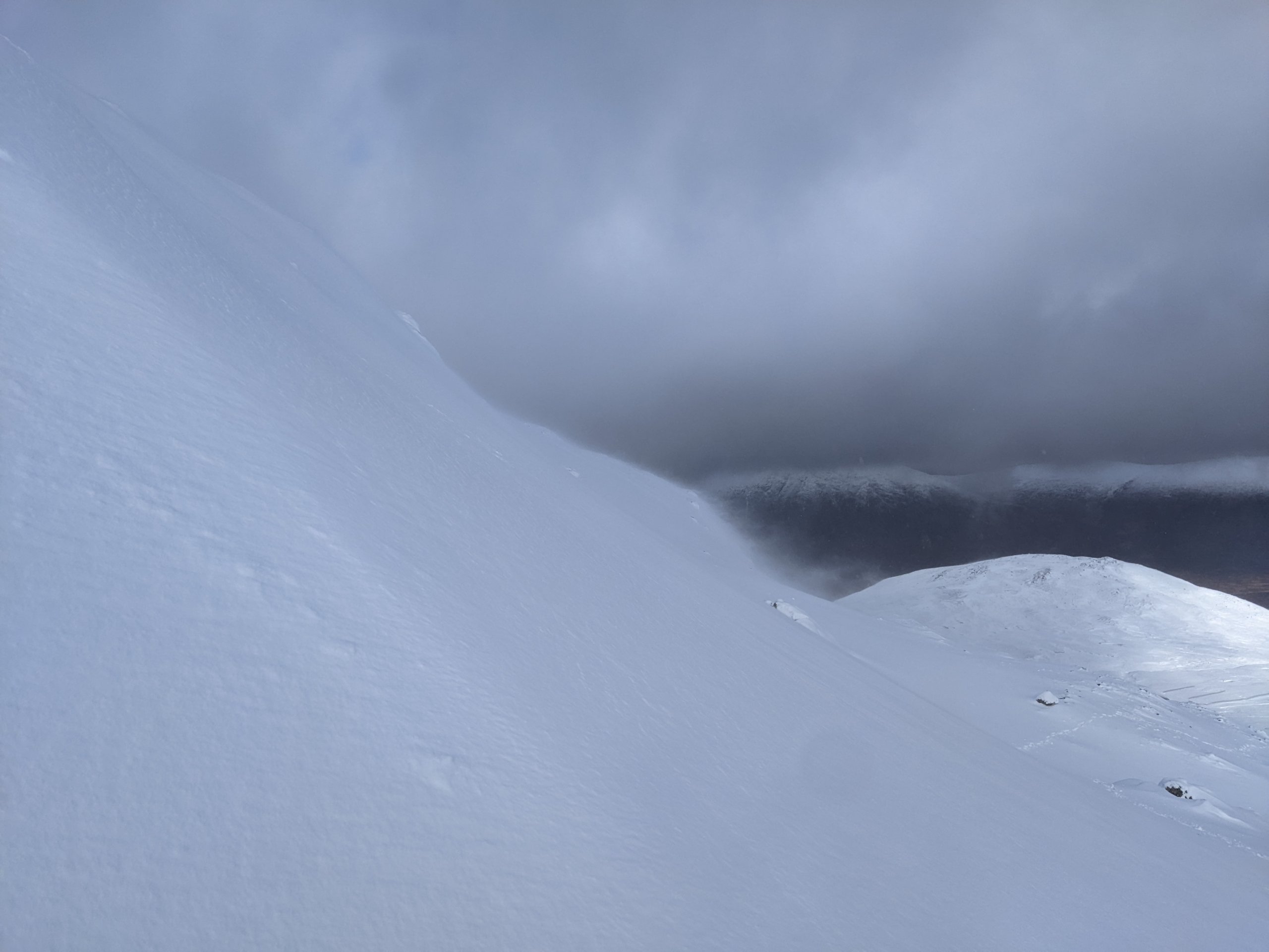
Wind transport of snow onto North Easterly aspects.

East Ridge Meall a Bhuirdh.
Comments on this post
Got something to say? Leave a comment


