Return to cooler conditions
6th February 2024
Cooler conditions have refrozen the older snowpack in most areas giving good general stability. Isolated pockets of soft windslab are forming in wind sheltered locations, these areas are generally shallow and avoidable.
Cold conditions will continue to affect the area overnight and through Wednesday. The older snowpack will remain firm with an icy surface in exposed locations giving serious potential in the event of a slip or fall. Light snow showers and Westerly winds may form windslab in sheltered locations (check the Avalanche report for more details)
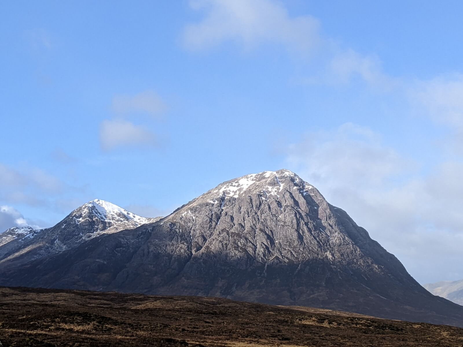
Buachaille Etive Mor.
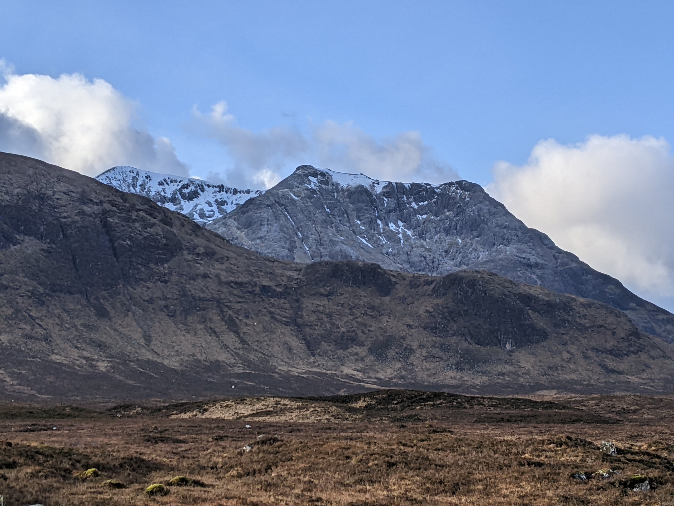
Creise
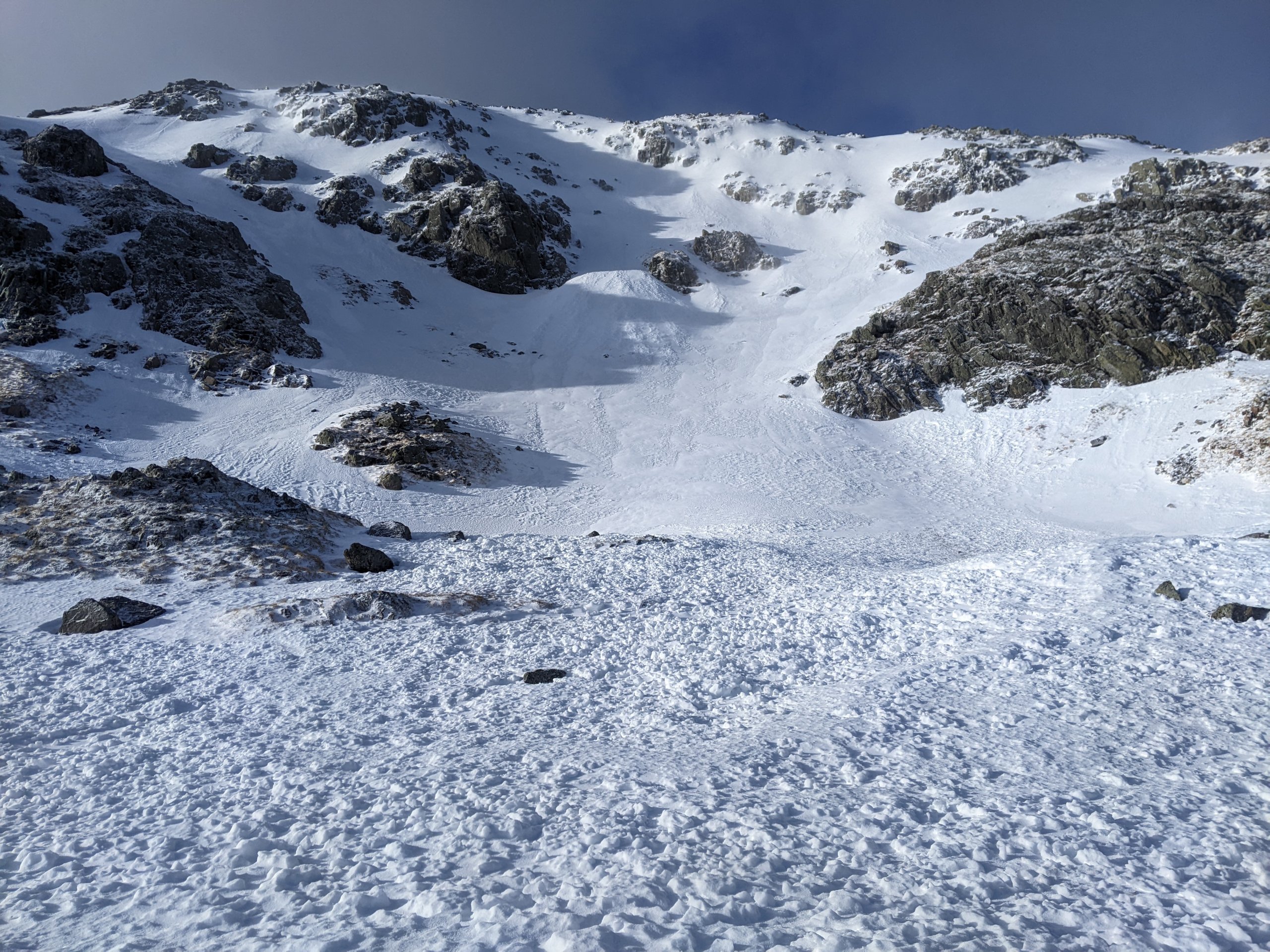
Avalanche debris below Easterly aspect on Meall a Bhuiridh.
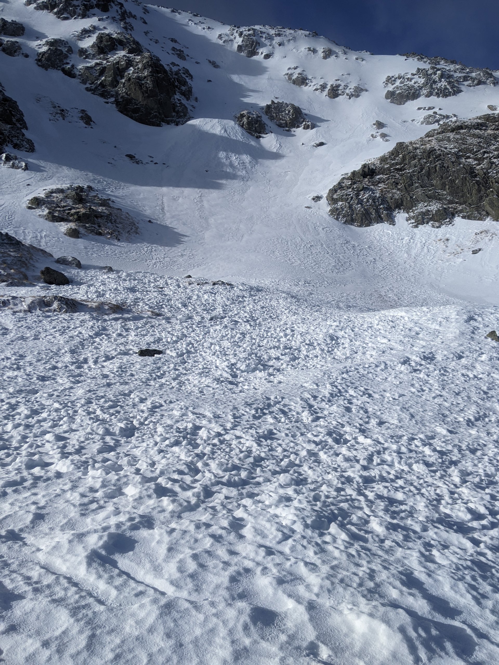
Avalanche debris below Easterly aspect on Meall a Bhuiridh.
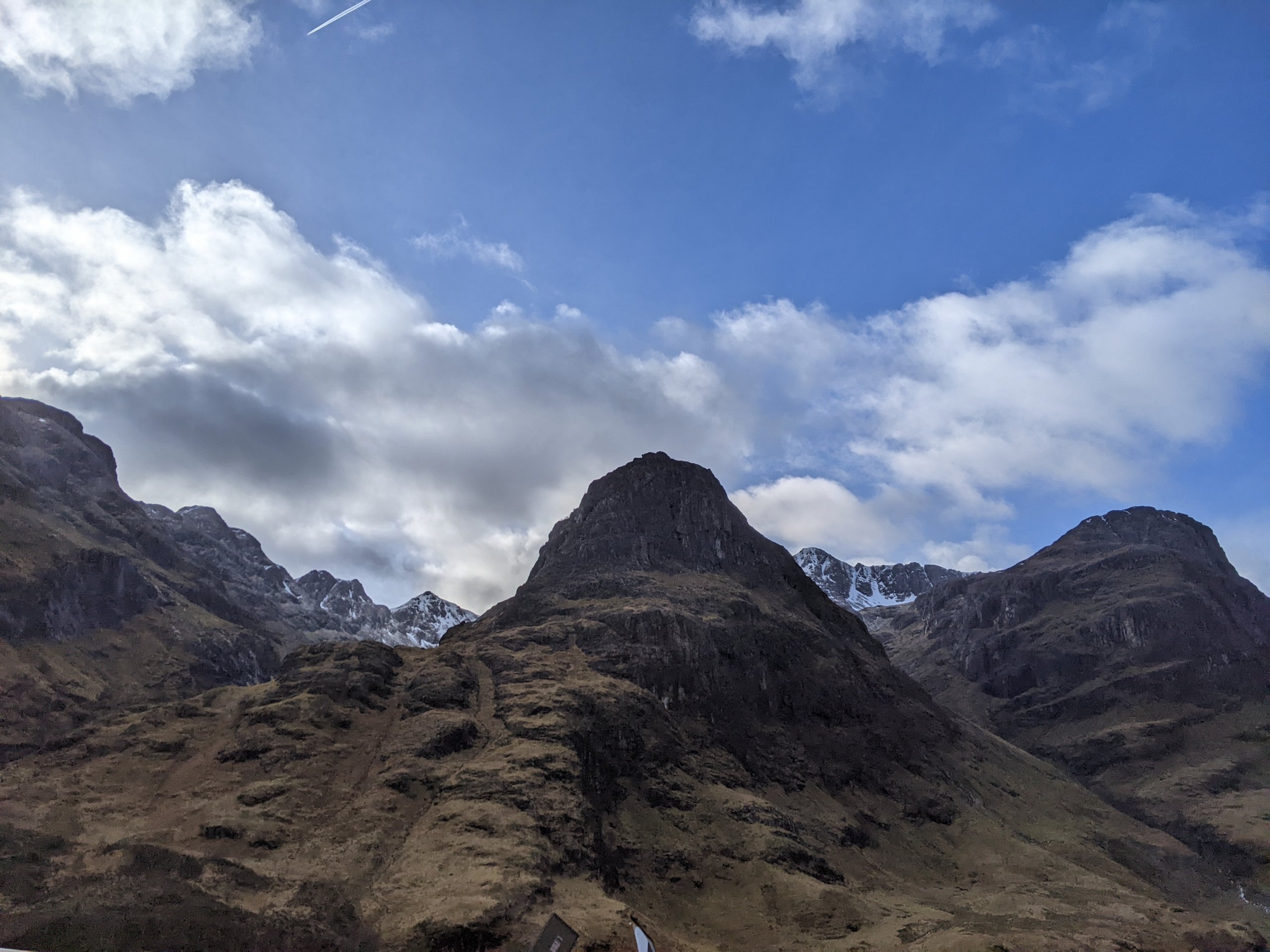
Three Sisters of Glencoe.
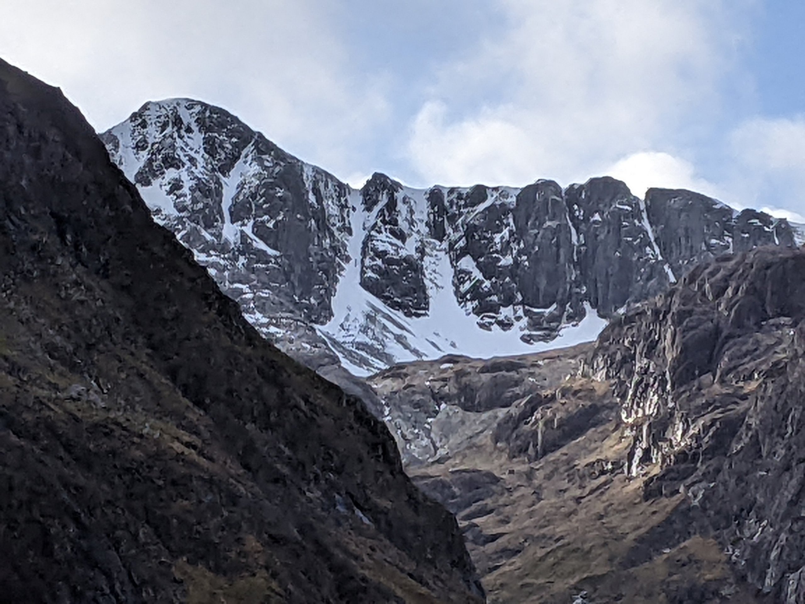
Coire nan Lochan.
Comments on this post
Got something to say? Leave a comment