More new snow and another busy day in the hills…..
3rd March 2024
Overnight and early this morning further snow showers fell mostly above 450 metres. Winds were generally light and the freezing level was around 700 metres.
The new snow amounts are generally unconsolidated and often lying on bare ground. However, new windslab was developing mainly on North-West to North-East aspects above 900 metres. Localised instabilities in older windslab accumulations still exist. Areas most affected are North-West through North to East aspects above 850 metres particularly wind sheltered steep summit gullies and coire rims. Some Westerly aspects also affected due to cross loading. The avalanche hazard is Moderate.
Human-triggered avalanches are possible, so good visibility and good route selection is important, especially in steep locations as indicated in the reports. You should manage your group carefully, keeping good spacing between people to reduce loading on slopes, while using mountain features (e.g., ridges and protected slopes) to travel safely.
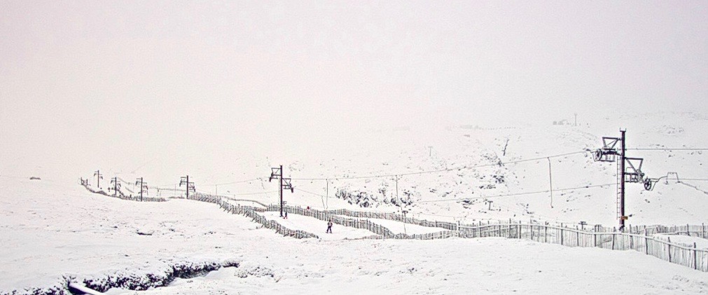
Meall a’ Bhuiridh this morning after last nights new snowfall.
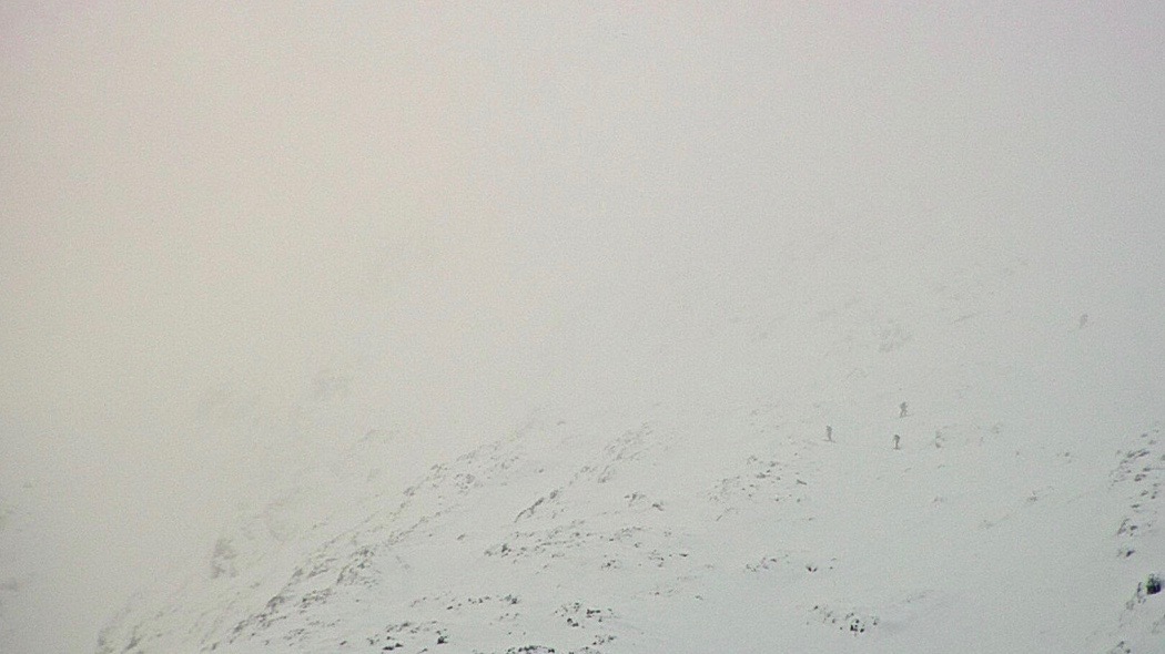
Visibility was generally poor above 800 metres.
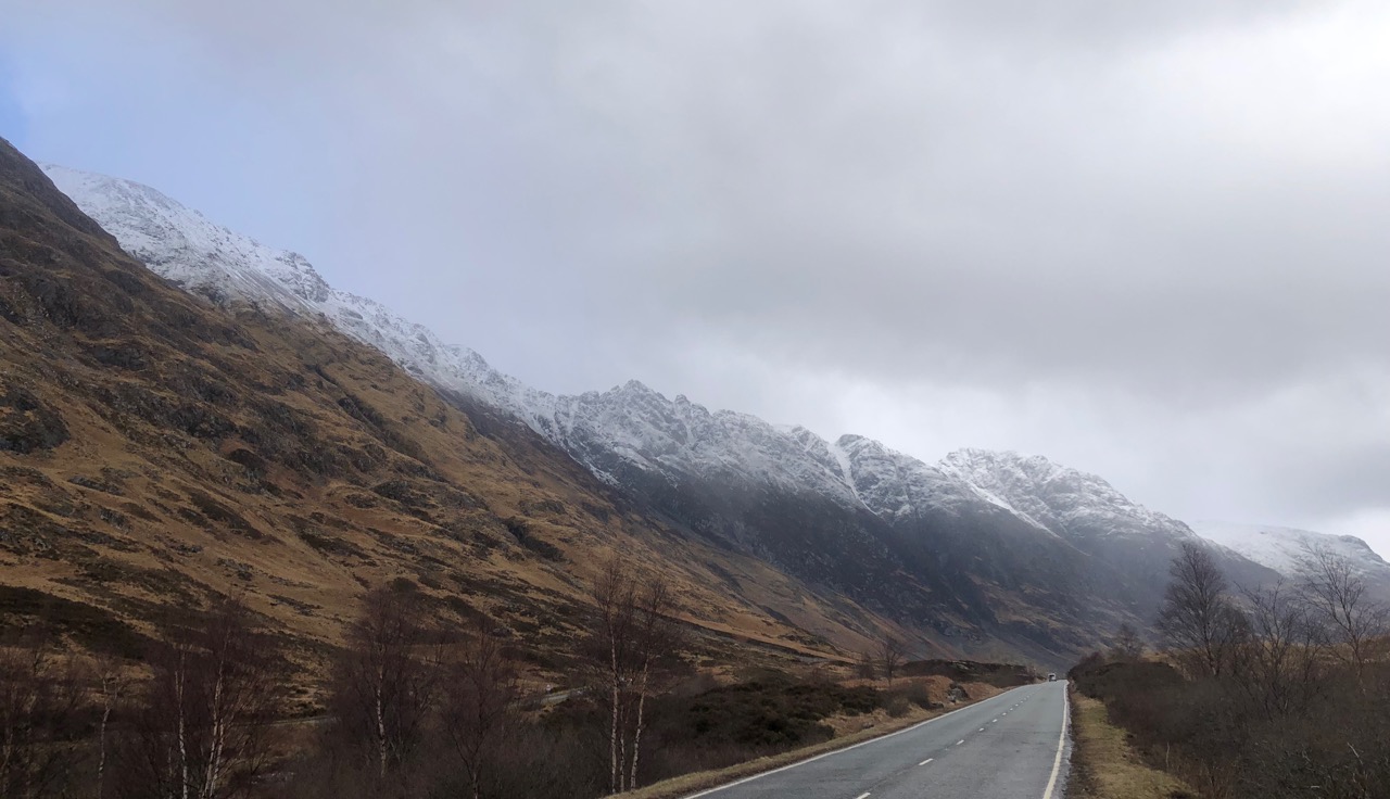
The Aonach Eagach ridge with a light new snow cover.
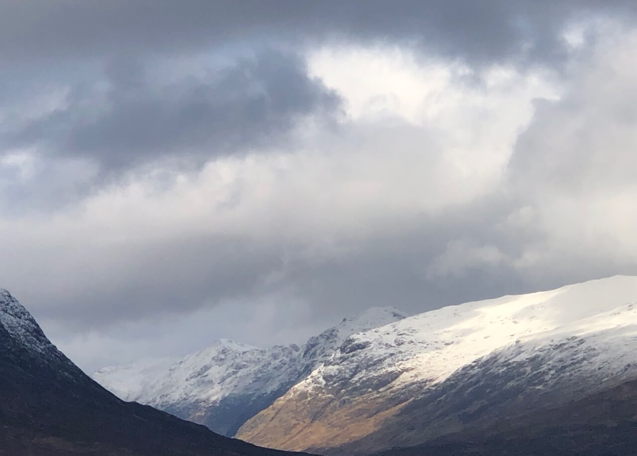
A view looking down towards Glen Coe. Stob na Cabar and the 3 sister beyond.
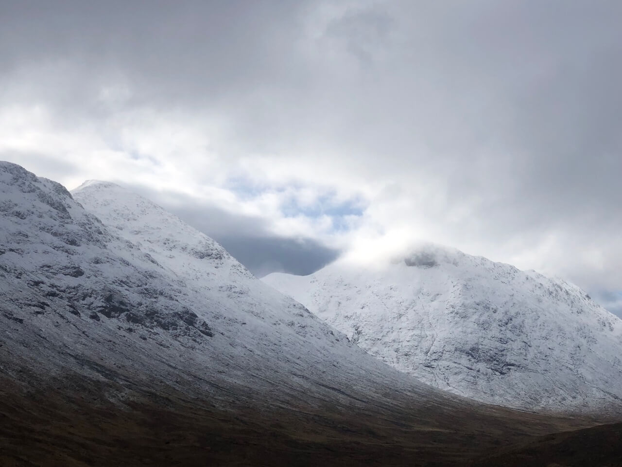
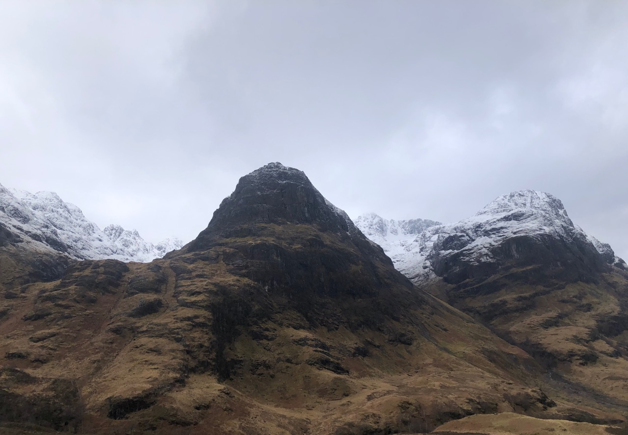
Stob na Doire on the left and Stob Coire Altruim on the right.
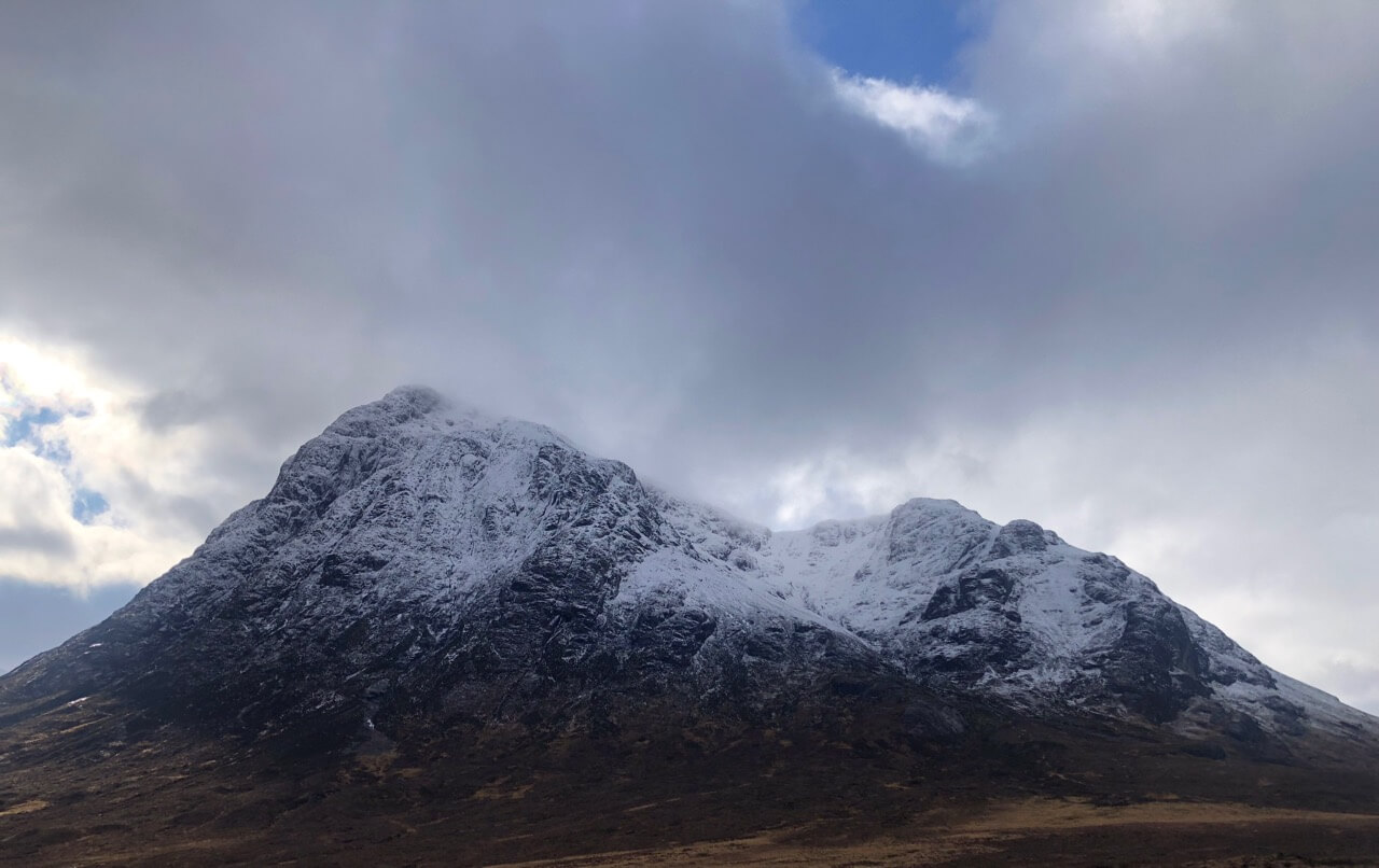
Stob Dearg and Coire na Tulaich.
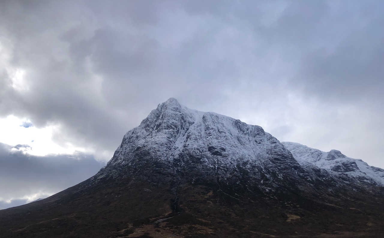
Northerly aspect of Stob Dearg.
The Aonach Eagach ridge on the right.
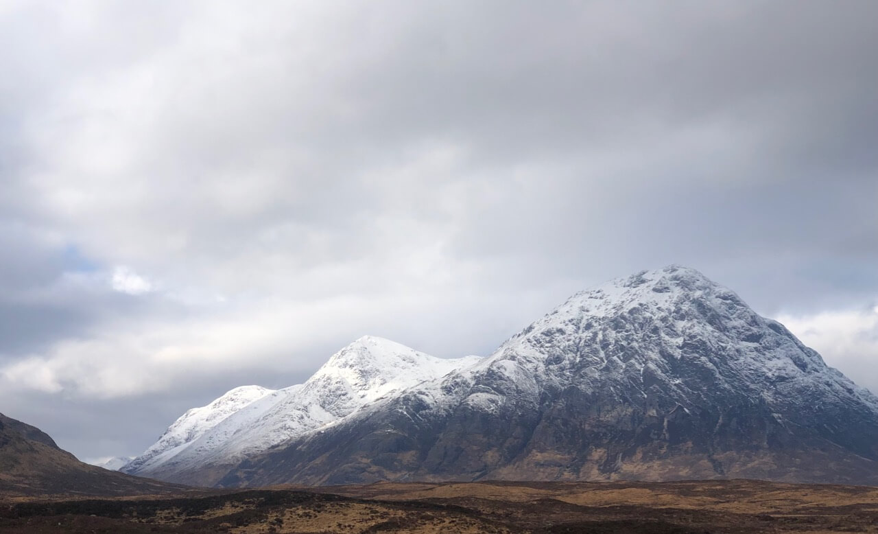
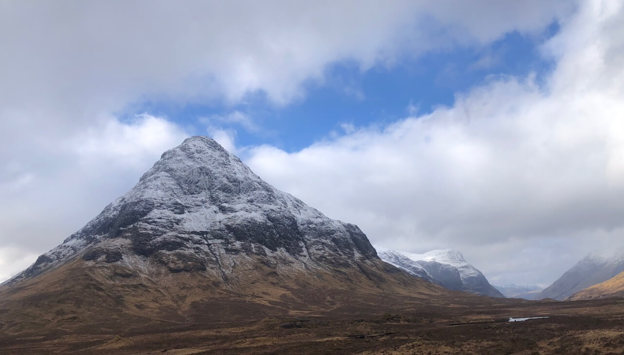
Buachaille Etive Mor.
The 3 sisters, Stob Coire Sgreamhach back left and Stob Coire nan Lochan back right with Aonach Dubh far right.
Comments on this post
Got something to say? Leave a comment