Eye Spy…
14th January 2025
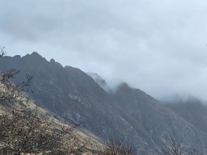
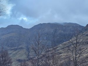
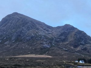
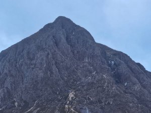
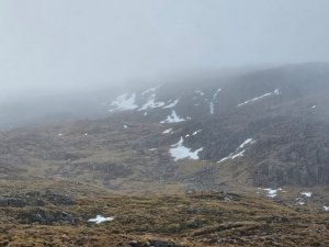
With mild temperatures, the already significantly diminished snowpack in Glencoe has continued to thaw overnight leaving very little to be found. It appeared that only isolated patches of wet snow remain in sheltered pockets or gully lines. The temperature was about 4c around the highest summits with the Glen being around 10c this afternoon. Generally cloudy with brighter spells and drizzle at times. Moderate Westerly winds.
Continuing mild, with a strong South-Westerly air stream, tomorrow will be being mainly dry with sunny periods. Further thawing and diminishing of the remaining snow patches is expected with more fully melting away. Any remaining ice will be prone to collapse.
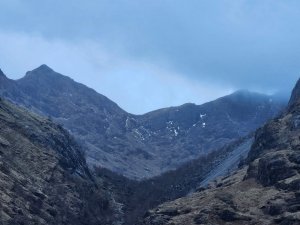
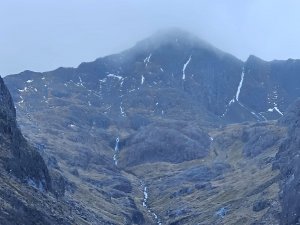
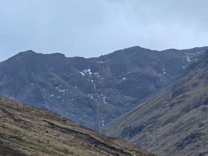
Like on the Lost Valley Buttress’s the remaining snow patches and ice streaks are mainly above about 850 metres.
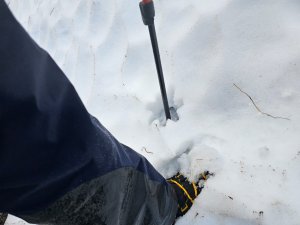
An isolated snow patch around 850 metres on a North-Easterly aspect, soft and continuing to thaw. Likely not to be there tomorrow.
Comments on this post
Got something to say? Leave a comment
