Snow Blowing Around
7th January 2025
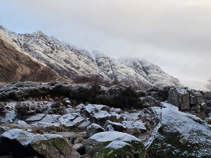
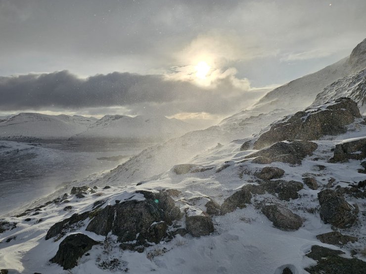
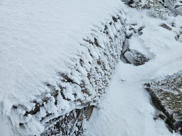
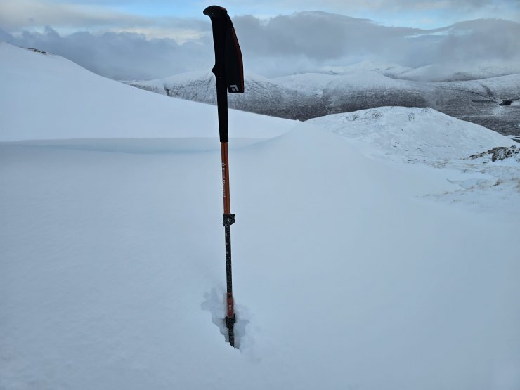
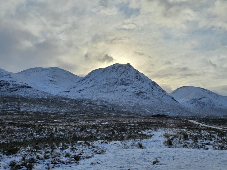
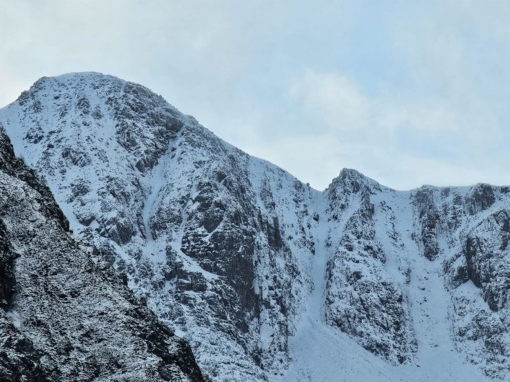
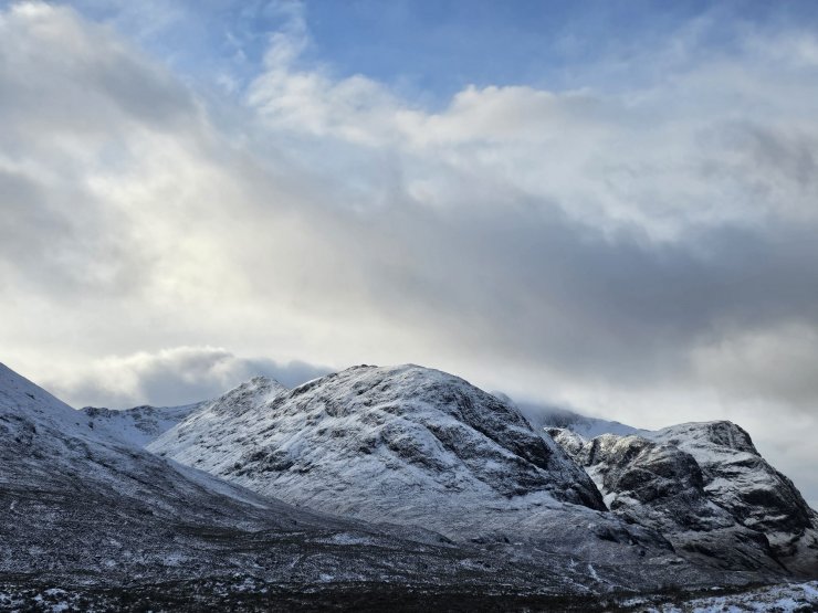
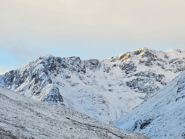
Today was mainly dry and bright day with some snow flurries down to around 300 metres. The winds were fresh to strong from North-Westerly directions. Remaining wintery, there was a covering of light snow on most aspects above 400 metres, with a dusting lower down also. Unstable windslab has formed, mainly on North-East to South-East aspects, especially above 850 metres, though these accumulations were localised, mainly in steeper locations, gullies, gully tops and coire rims. Other aspects were being cross-loaded. By the end of day, scouring on wind exposed aspects was becoming apparent and in places icy ground and paths were becoming exposed.
Tomorrow continues wintery with low temperatures, overnight snow showers, dry during the day, with further Westerly winds. Localised areas of windslab will continue to form in sheltered areas, typically in gullies, gully tops and around corrie rims. Elsewhere is likely to be snowy but with plenty of exposed or bare ground apparent. Snow amounts overnight are uncertain, with up to 5cm possible. The hazard maybe higher if this occurs.
Comments on this post
Got something to say? Leave a comment
